
 Français
 Italiano
Size of this PNG preview of this SVG file: 750 × 600 pixels. Other resolutions: 300 × 240 pixels | 600 × 480 pixels | 960 × 768 pixels | 1,280 × 1,024 pixels | 2,560 × 2,048 pixels.
Original file (SVG file, nominally 750 × 600 pixels, file size: 7 KB)
This is a file from the Wikimedia Commons and may be used by other projects. Information from its description page there is shown below. Commons is a freely licensed media file repository. |
Summary
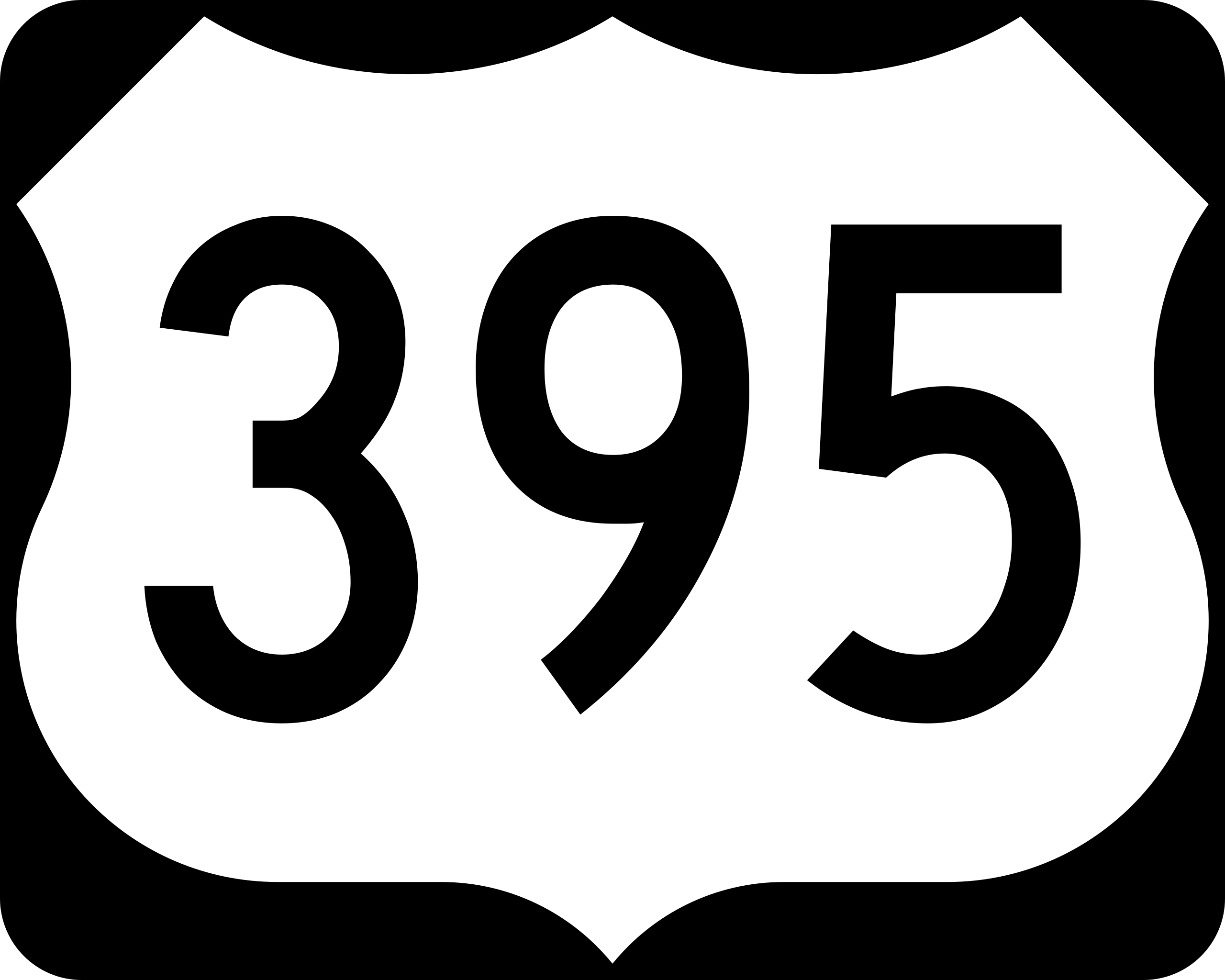
| Description | English: 750 mm × 600 mm (30 in × 24 in) U.S. Highway shield, made to the specifications of the 2004 edition of Standard Highway Signs. (Note that there is a missing "J" label on the left side of the diagram.) Uses the Roadgeek 2005 fonts. (United States law does not permit the copyrighting of typeface designs, and the fonts are meant to be copies of a U.S. Government-produced work anyway.) |
| Date | (UTC) |
| Source | 2004 MUTCD Standard Highway Signs |
| Author | Fredddie, originally SPUI |
Licensing
This file is in the public domain because it comes from the Manual on Uniform Traffic Control Devices, sign number M1-4, which states specifically on page I-1 that:
| .svg) |
File history
Click on a date/time to view the file as it appeared at that time.
| Date/Time | Thumbnail | Dimensions | User | Comment | |
|---|---|---|---|---|---|
| current | 01:40, 26 August 2017 | | 750 × 600 (7 KB) | Fredddie | |
| 23:01, 27 December 2016 |  | 750 × 600 (5 KB) | DJV11181988 | Reverted to version as of 07:52, 27 January 2006 (UTC) It's supposed to use the type C font on 3-digit shield that have a number fatter than 1. | |
| 17:57, 20 March 2015 |  | 750 × 600 (8 KB) | Fredddie | properly sized numbers | |
| 08:18, 29 April 2011 |  | 750 × 600 (10 KB) | Luokou | Reverted to version as of 01:21, 24 April 2008 | |
| 14:08, 16 January 2010 |  | 750 × 600 (5 KB) | HighwayMaster | This is like the others. | |
| 01:21, 24 April 2008 |  | 750 × 600 (10 KB) | Luokou | (wider font, reflects current design used in the field) | |
| 07:52, 27 January 2006 |  | 750 × 600 (5 KB) | SPUI~commonswiki | {{spuiother}} 750 mm by 600 mm (30 in by 24 in) U.S. Route shield, made to the specifications of the [http://mutcd.fhwa.dot.gov/SHSm/Guide.pdf 2004 edition of Standard Highway Signs]. (Note that there is a missing "J" label on the left side of the diagram |
File usage
The following 63 pages use this file:
- Adelanto
- Alturas
- Barstow
- Big Pine
- Bishop
- Bridgeport (California)
- Burns
- California
- California City
- Camas (Washington)
- Carson City
- Chester (California)
- Christina Lake
- Colfax (Washington)
- Columbia River Plateau
- Colville
- Death Valley Junction
- Death Valley National Park
- Eastern Oregon
- Gardnerville
- Hermiston
- Hesperia
- Hines
- Homewood (California)
- Independence (California)
- Interstate 5
- Interstate 90
- Inyokern
- Jamestown (California)
- John Day
- Kennewick
- Kettle Falls
- Lakeview (Oregon)
- Lee Vining
- Lone Pine
- Mammoth Lakes
- Mi-Wuk Village
- Minden (Nevada)
- Modesto
- Mojave
- Moses Lake
- Oakdale
- Olancha-Cartago
- Othello
- Pacific Northwest
- Palouse (Washington)
- Pasco
- Pendleton
- Pinecrest
- Reno
- Ritzville
- Rossland
- Sonora (California)
- South Lake Tahoe
- Spokane
- Stevenson
- Susanville
- Tahoe City
- Truckee
- Twain Harte
- Vancouver (Washington)
- Victorville
- Washougal
Global file usage
The following other wikis use this file:
- Usage on ar.wikipedia.org
- Usage on azb.wikipedia.org
- Usage on az.wikipedia.org
- Usage on bn.wikipedia.org
- Usage on de.wikipedia.org
- Usage on de.wikivoyage.org
- Usage on en.wikipedia.org
- Adams County, Washington
- Benton County, Washington
- Interstate 80
- Interstate 15
- Douglas County, Nevada
- Interstate 90
- Spokane County, Washington
- Lincoln County, Washington
- Franklin County, Washington
- Washoe County, Nevada
- Interstate 82
- List of United States Numbered Highways
- Country Homes, Washington
- Town and Country, Washington
- U.S. Route 12
- User:Hike395
- U.S. Route 395
- U.S. Route 30
- U.S. Route 26
- Interstate 182
- U.S. Route 20
- U.S. Route 50
- U.S. Route 2
- U.S. Route 6
- British Columbia Highway 395
- McNary Dam
- John Day Dam
- U.S. Route 195
- Washington State Route 20
- Interstate 580 (Nevada)
View more global usage of this file.
Metadata
Explore the world

United states
New York

Japan
Tokyo

Singapore
Singapore
