
 Français
 Italiano
Размер этого PNG-превью для исходного SVG-файла: 800 × 405 пкс. Другие разрешения: 320 × 162 пкс | 640 × 324 пкс | 1024 × 519 пкс | 1280 × 648 пкс | 2560 × 1297 пкс | 2760 × 1398 пкс.
Исходный файл (SVG-файл, номинально 2760 × 1398 пкс, размер файла: 729 КБ)
Краткое описание
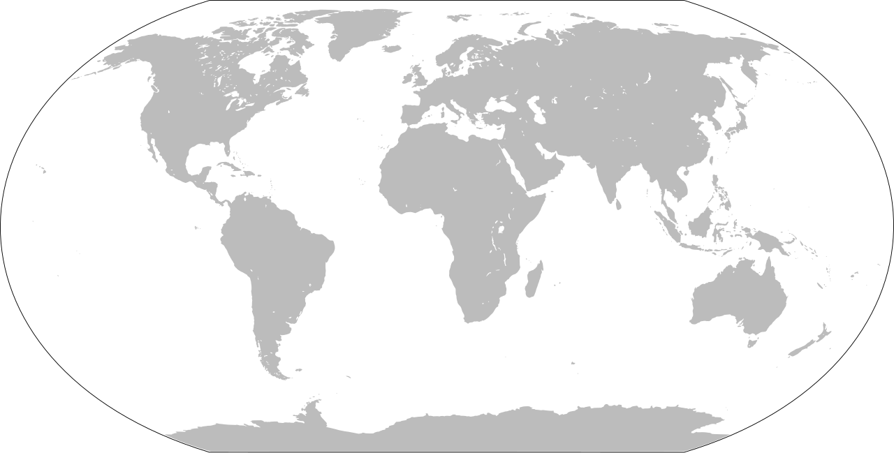
| Описание | Blank world map |
| Дата | |
| Источник | Собственная работа на основе: LocationWorld.png от David Kernow |
| Автор | Оригинал: Вектор: |
| SVG‑разработка |
Лицензирование
Это произведение является работой сотрудников Центрального разведывательного управления, выполненной ими при составлении Справочника ЦРУ по странам мира, то есть в ходе исполнения должностных обязанностей. Будучи работой высших федеральных органов государственной власти США, произведение находится в общественном достоянии.
|  |
История файла
Нажмите на дату/время, чтобы увидеть версию файла от того времени.
| Дата/время | Миниатюра | Размеры | Участник | Примечание | |
|---|---|---|---|---|---|
| текущий | 19:43, 26 января 2022 | | 2760 × 1398 (729 КБ) | Scratchinghead | Islands disconnected-again |
| 19:26, 26 января 2022 |  | 2760 × 1398 (236 КБ) | Belbury | Reverted to version as of 08:52, 12 September 2012 (UTC) also erased the sea and the map's border | |
| 19:22, 26 января 2022 |  | 5365 × 2796 (714 КБ) | Scratchinghead | Some islands were connected to the mainland, changed that | |
| 11:52, 12 сентября 2012 |  | 2760 × 1398 (236 КБ) | Palosirkka | Scrubbed with http://codedread.com/scour/ | |
| 17:51, 1 января 2009 |  | 2760 × 1398 (508 КБ) | CodeOne | == Summary == This is a recreated version of Image:LocationWorld.png using vector graphics. Original description: Large plain-grey map of world created by adapting Image:LocationSouthAmerica.png. Previous image uploaded by User:UserLogin no |
Использование файла
Нет страниц, использующих этот файл.
Глобальное использование файла
Данный файл используется в следующих вики:
- Использование в bn.wikibooks.org
- Использование в da.wikipedia.org
- Использование в en.wikipedia.org
- Использование в en.wikibooks.org
- Использование в es.wikipedia.org
- Использование в fa.wikipedia.org
- Использование в fr.wikipedia.org
- Использование в he.wikipedia.org
- Использование в hu.wiktionary.org
- Central Europe
- Eastern Europe
- Southern Europe
- Northern Europe
- Antarctica
- North America
- South America
- Asia
- Indian Ocean
- Central America
- Micronesia
- Pacific Ocean
- Earth
- Caribbean
- Americas
- Arctic Ocean
- Central Africa
- Southern Ocean
- East Asia
- West Africa
- North Africa
- Western Europe
- West Asia
- Sablon:Earth Labelled Map
- South Asia
- Australasia
- Northern America
- East Africa
- Horn of Africa
- Southwest Asia
- Central Asia
Просмотреть глобальное использование этого файла.
Метаданные
Explore the world

United states
New York

Japan
Tokyo

Singapore
Singapore
