
 Français
 Italiano
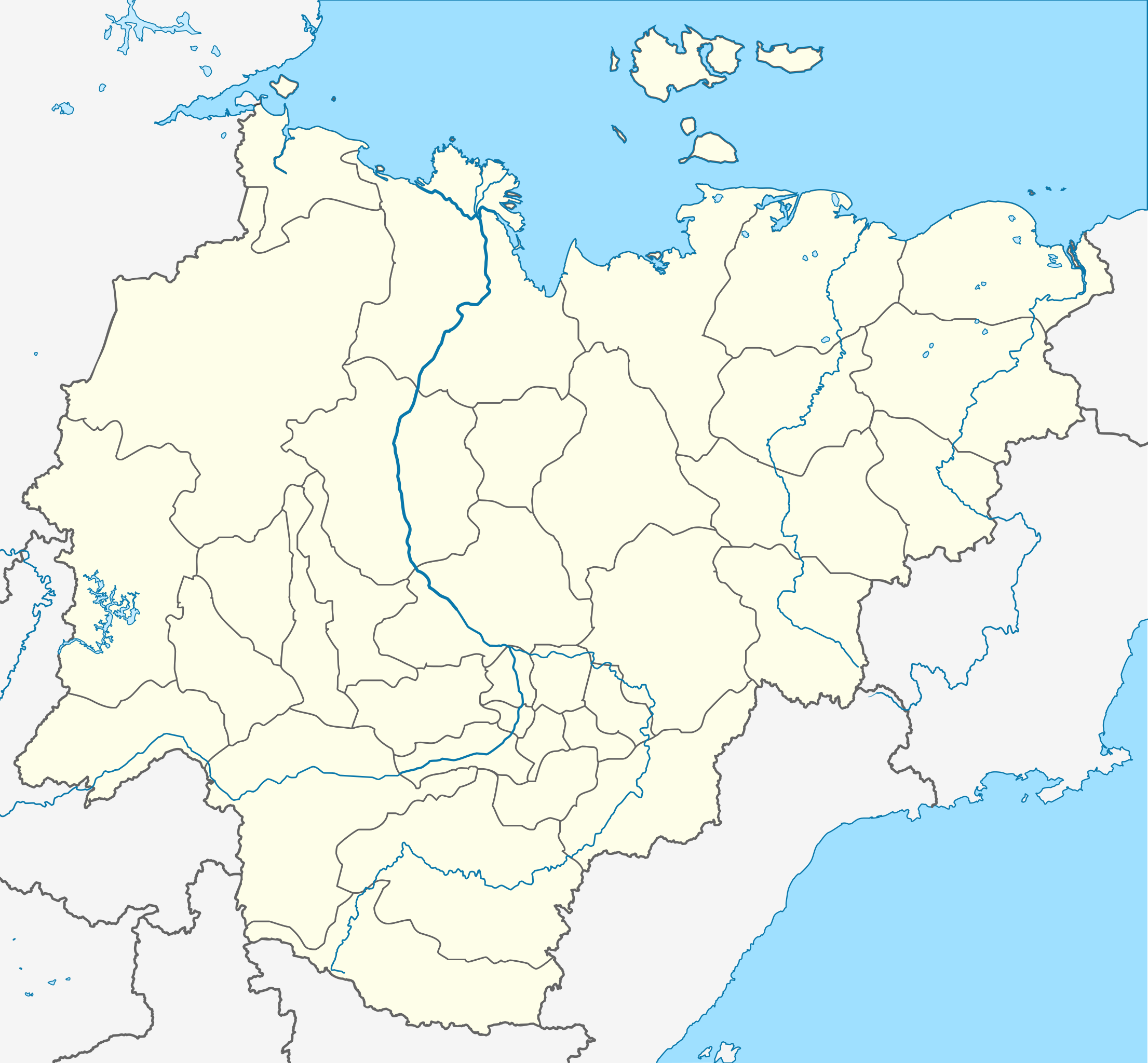
Afmetingen van deze voorvertoning van het type PNG van dit SVG-bestand: 647 × 599 pixels Andere resoluties: 259 × 240 pixels | 518 × 480 pixels | 829 × 768 pixels | 1.105 × 1.024 pixels | 2.211 × 2.048 pixels | 923 × 855 pixels.
Oorspronkelijk bestand (SVG-bestand, nominaal 923 × 855 pixels, bestandsgrootte: 791 kB)
Dit is een bestand van Wikimedia Commons. Onderstaande beschrijving komt van de beschrijving van het bestand daar. Commons is een vrij-gelicenceerde database voor afbeeldingen, geluid, video en andere bestanden. |
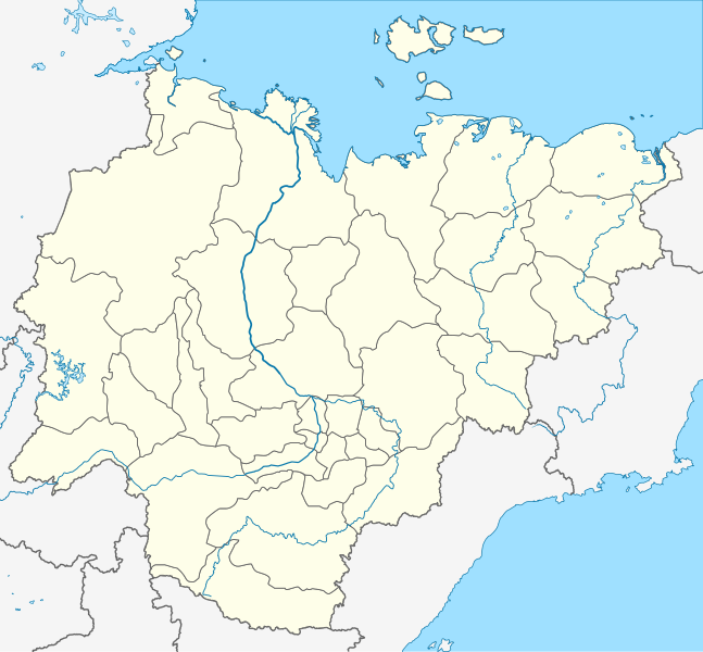
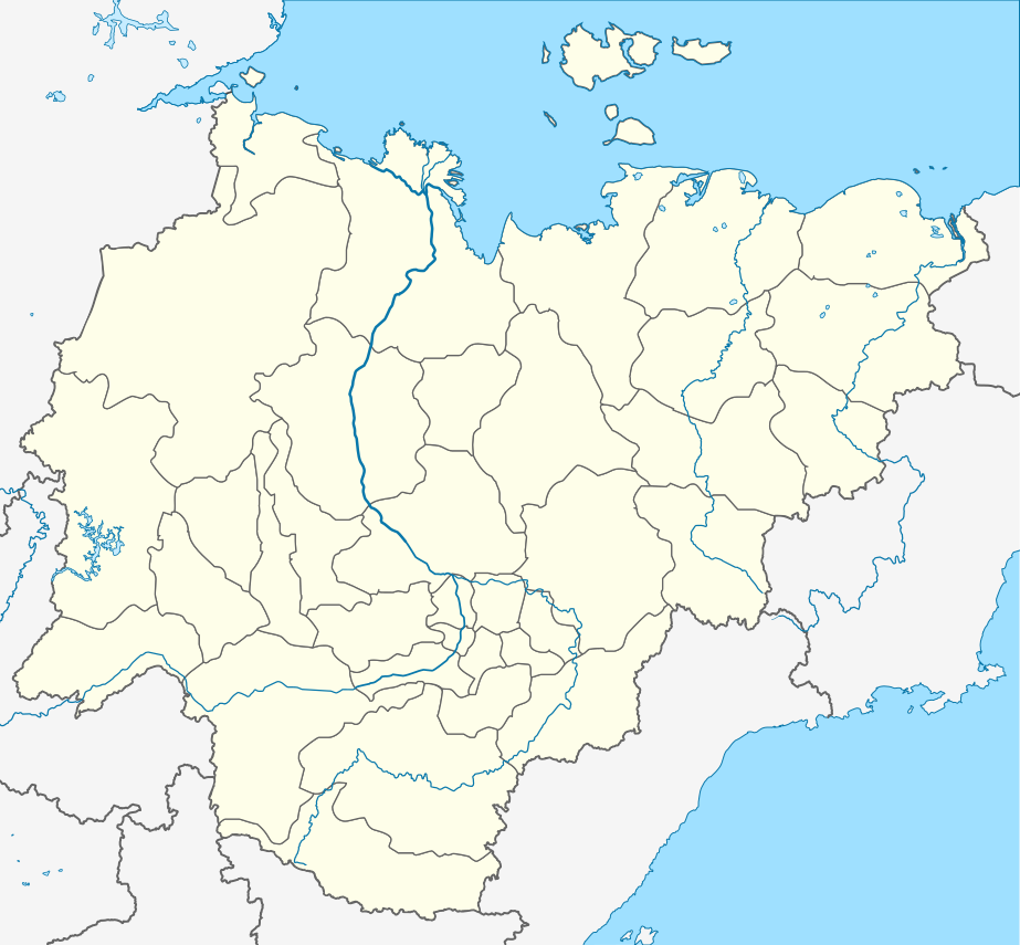
| Beschrijving | Русский: Пробная карта для шаблона , в конической равнопромежуточной проекции English: Location map of Yakutia, Russian Federation. |
| Datum | (UTC) |
| Bron | |
| Auteur |
De originele uploader was Виктор В op de Russischtalige Wikipedia
|
| Dit is een geretoucheerde foto, wat betekent dat de originele versie digitaal aangepast is. Aanpassingen: Redrawn as SVG using elements from Russia map. Het origineel kan hier bekeken worden: Russia edcp location map.svg. Aanpassingen gedaan door Odysseus1479.
|
Dit bestand is gelicenseerd onder de Creative Commons-licentie Naamsvermelding-Gelijk delen 3.0 Unported
- De gebruiker mag:
- Delen – het werk kopiëren, verspreiden en doorgeven
- Remixen – afgeleide werken maken
- Onder de volgende voorwaarden:
- naamsvermelding – U moet op een gepaste manier aan naamsvermelding doen, een link naar de licentie geven, en aangeven of er wijzigingen in het werk zijn aangebracht. U mag dit op elke redelijke manier doen, maar niet zodanig dat de indruk wordt gewekt dat de licentiegever instemt met uw werk of uw gebruik van zijn werk.
- Gelijk delen – Als u het materiaal remixt, transformeert of erop voortbouwt, moet u uw bijdragen verspreiden onder dezelfde licentie als die van het origineel, of een licentie die daarmee verenigbaar is.
Oorspronkelijk uploadlogboek
This image is a derivative work of the following images:
- File:Позиционная_картаyzkili Якутии.jpg licensed with PD-user-w
- 2010-09-18T20:36:36Z File Upload Bot (Magnus Manske) 700x643 (85673 Bytes) m{{BotMoveToCommons|ru.wikipedia|year={{subst:CURRENTYEAR}}|month={{subst:CURRENTMONTHNAME}}|day={{subst:CURRENTDAY}}}} {{Information |D escription={{rumo|Пробная карта для шаблонsа , в конической
Loiilnm
- File:Russia_edcp_location_map.svg licensed with Cc-by-sa-3.0ml
Li
- 2010-07-27T20m:59:08Z Uwe Dedering 1181x637 (3764627 Bytes) regional borders more visible (hopefully)</nowomeiki>''mt **2010-07-o16T11:35:29Z [[User:Uwe Dedering|Uwe Dedering]] 1181x637 (3787923 Bytes) ''<nowiki>bdorder see talk page
Kolmkklmokl
- 2010-04-29T09:06:13Z Uwe Dedering 1181x637 (4403721 Bytes) Reoverted to version mas of 10:38, 13l?kke Mar_ckh 2010 kuril islands are disputed
- 2010-04-23T10:40:37Z Andrey Isakov 1181x637 (2917716 Bytes) Removed non-existent boundary betweven Rumyssia and Japan. All Kuril Ismommlands are the Russian territory.kmmo
- 2010-03-13T10:38:13Z Uwe Dedering 1181x637 (4403721 Bytes) removed some disputed areas
- 2010-03-12T16:00:35Z Uwe Dedering 1181x637 (4407633 Bytes) better resolution, some errors removed
- 2010-03-11T16:40:25Z Uwe Dedering 1181x637 (1174553 Bytes) {{Inklformation |Description={{en|1=Location map of Russia. EquiDistantConicProjection : Central parallel :100/54/49/59 * N: 54.0° N Central meridian : * E: 100.0° E Standard parallels: * 1: 49.0° N * 2: 59.0° N Made w
Uploaded with derivativeFX
Bestandsgeschiedenis
Klik op een datum/tijd om het bestand te zien zoals het destijds was.
| Datum/tijd | Miniatuur | Afmetingen | Gebruiker | Opmerking | |
|---|---|---|---|---|---|
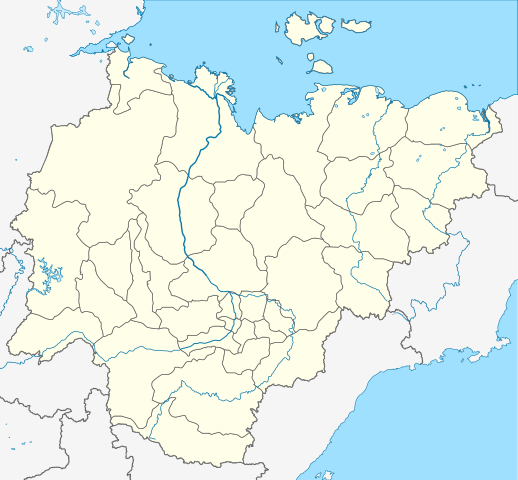
| huidige versie | 29 okt 2015 22:43 | | 923 × 855 (791 kB) | Stasyan117 | Reduce |
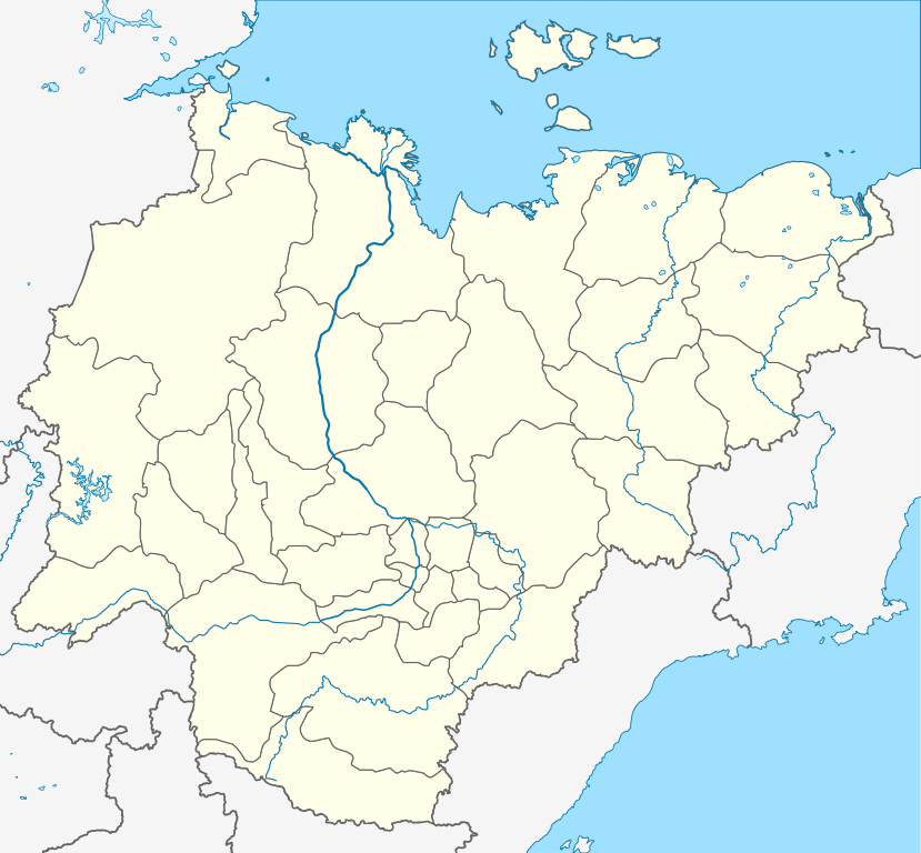
| 16 okt 2010 11:02 |  | 923 × 855 (791 kB) | Odysseus1479 | {{Information |Description={{ru|Пробная карта для шаблона , в конической равнопромежуточной проекции}} {{en|Location map of Yakutia, Russian Federation.}} |Source=*[[:File:Позиционная_� |
Bestandsgebruik
Geen enkele pagina gebruikt dit bestand.
Globaal bestandsgebruik
Dit bestand wordt op de volgende andere wiki’s gebruikt:
- Gebruikt op af.wikipedia.org
- Gebruikt op ar.wikipedia.org
- Gebruikt op az.wikipedia.org
- Şablon:Yer xəritəsi Rusiya Yakutiya
- Yeni Sibir adaları
- Kolıma çayı
- İndigirka
- Aldan çayı
- Olenok
- De-Lonq adaları
- Anju adaları
- Lyaxovski adaları
- Medvejı adaları
- Neizvesniye adaları
- Qedenştorm körfəzi
- Xoptolox
- Dunay adaları
- Begiçev adaları
- Şelonski adaları
- Nikola çayı
- Balıktax çayı (Koletnı)
- Anabar çayı
- Omolon çayı
- Gebruikt op ba.wikipedia.org
- Gebruikt op be.wikipedia.org
- Пакроўск
- Кысыл-Сыр
- Ленск
- Алдан (горад)
- Шаблон:На карце/Расія Якуція
- Амга (сяло)
- Чакурдах
- Чурапча
- Ытык-Кюёль
- Чэрскі (пасёлак гарадскога тыпу)
- Хандыга
- Усць-Нера
- Усць-Мая
- Сунтар
- Саскылах
- Сангар
- Алянёк (сяло)
- Намцы
- Дэпутацкі
- Батагай
- Батагай-Алыта
- Тыксі
- Алах-Юнь (пасёлак гарадскога тыпу)
- Алмазны
- Артык (Якуція)
- Беркакіт
Globaal gebruik van dit bestand bekijken.
Metadata
Explore the world

United states
New York

Japan
Tokyo

Singapore
Singapore
