
 Français
 Italiano
Grootte van deze voorvertoning: 722 × 600 pixels. Andere resoluties: 289 × 240 pixels | 578 × 480 pixels | 925 × 768 pixels | 1.233 × 1.024 pixels | 2.487 × 2.066 pixels.
Oorspronkelijk bestand (2.487 × 2.066 pixels, bestandsgrootte: 714 kB, MIME-type: image/png)
Dit is een bestand van Wikimedia Commons. Onderstaande beschrijving komt van de beschrijving van het bestand daar. Commons is een vrij-gelicenceerde database voor afbeeldingen, geluid, video en andere bestanden. |
Beschrijving
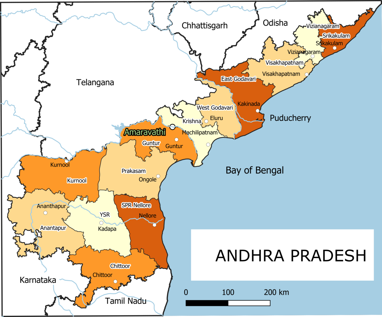
| Beschrijving | English: Old Andhra Pradesh Map For more information please see: File:ఆంధ్రప్రదేశ్ జిల్లాల పటము.png |
| Datum | |
| Bron | Eigen werk |
| Auteur | Arjunaraoc |
| Andere versies | For the latest version see File:Ap-districts.svg |
; for older version see https://commons.wikimedia.org/w/index.php?title=File:Map_AP_dist_all_shaded.png&oldid=344558866 ,
Licentie
Ik, de auteursrechthebbende van dit werk, maak het hierbij onder de volgende licentie beschikbaar:
| Dit werk bevat informatie van OpenStreetMap, die beschikbaar wordt gesteld onder de Open Database License (ODbL). De ODbL vereist geen specifieke licentie voor kaarten die zijn geproduceerd op basis van ODbL-gegevens. Vóór 1 augustus 2020 waren kaarttegels geproduceerd door de OpenStreetMap Foundation gelicentieerd onder de CC-BY-SA-2.0-licentie. Kaarten die door andere mensen zijn geproduceerd, kunnen onderworpen zijn aan andere licenties. |
Bestandsgeschiedenis
Klik op een datum/tijd om het bestand te zien zoals het destijds was.
| Datum/tijd | Miniatuur | Afmetingen | Gebruiker | Opmerking | |
|---|---|---|---|---|---|
| huidige versie | 25 dec 2021 14:12 | | 2.487 × 2.066 (714 kB) | Arjunaraoc | Created new version with clean state boundaries using OSM and natural earth data |
| 27 mrt 2019 11:29 |  | 2.485 × 2.064 (770 kB) | Arjunaraoc | fixed few labels going outside graphic | |
| 27 mrt 2019 10:01 |  | 2.485 × 2.064 (770 kB) | Arjunaraoc | Corrected the boundaries of Andhra Pradesh districts impacted by State division in 2014. For more information check details in File:ఆంధ్రప్రదేశ్ జిల్లాల పటము.png | |
| 2 nov 2015 10:21 |  | 600 × 600 (76 kB) | Kannadabheri | Cross-wiki upload from en.wikipedia.org |
Bestandsgebruik
Geen enkele pagina gebruikt dit bestand.
Globaal bestandsgebruik
Dit bestand wordt op de volgende andere wiki’s gebruikt:
- Gebruikt op bn.wikipedia.org
- Gebruikt op ha.wikipedia.org
- Gebruikt op hi.wikipedia.org
- Gebruikt op hu.wikipedia.org
- Gebruikt op oc.wikipedia.org
- Gebruikt op sat.wikipedia.org
- Gebruikt op sd.wikipedia.org
- Gebruikt op tcy.wikipedia.org
Metadata
Explore the world

United states
New York

Japan
Tokyo

Singapore
Singapore
