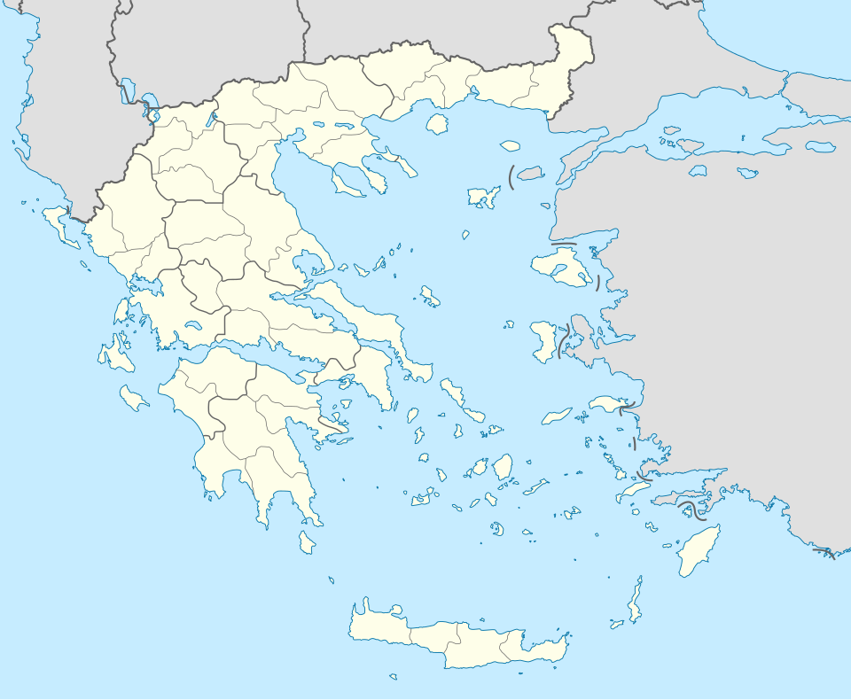
この SVG ファイルのこの PNG プレビューのサイズ: 729 × 600 ピクセル. その他の解像度: 292 × 240 ピクセル | 584 × 480 ピクセル | 934 × 768 ピクセル | 1,245 × 1,024 ピクセル | 2,490 × 2,048 ピクセル | 1,003 × 825 ピクセル。
元のファイル (SVG ファイル、1,003 × 825 ピクセル、ファイルサイズ: 833キロバイト)
ファイルの履歴
過去の版のファイルを表示するには、その版の日時をクリックしてください。
| 日付と時刻 | サムネイル | 寸法 | 利用者 | コメント | |
|---|---|---|---|---|---|
| 現在の版 | 2015年12月10日 (木) 01:13 |  | 1,003 × 825 (833キロバイト) | SilentResident | Reverted to version as of 16:28, 11 September 2008 (UTC) The Prefectures became Regional Administrative Units with the same borders |
| 2010年12月18日 (土) 22:33 |  | 1,003 × 825 (673キロバイト) | Pitichinaccio | Prefecture borders removed. The prefectures of Greece were suppressed in 2010. Präfekturgrenzen entfernt. Die griechischen Präfekturen wurde 2010 abgeschafft. | |
| 2008年9月11日 (木) 16:28 |  | 1,003 × 825 (833キロバイト) | Lencer | {{Information |Description= |Source= |Date= |Author= |Permission= |other_versions= }} | |
| 2008年8月16日 (土) 12:13 |  | 1,003 × 825 (818キロバイト) | Lencer | {{Information |Description= |Source= |Date= |Author= |Permission= |other_versions= }} | |
| 2008年7月23日 (水) 18:26 |  | 869 × 715 (823キロバイト) | Lencer | {{Information |Description= |Source= |Date= |Author= |Permission= |other_versions= }} | |
| 2008年7月23日 (水) 18:11 |  | 869 × 715 (823キロバイト) | Lencer | {{Information |Description= {{de|Positionskarte von Griechenland}} Quadratische Plattkarte, N-S-Streckung 120 %. Geographische Begrenzung der Karte: * N: 42.0° N * S: 34.6° N * W: 19.1° O * O: 29.9° O {{en|Location map of |
ファイルの使用状況
このファイルを使用しているページはありません。
グローバルなファイル使用状況
次に掲げる他のウィキでもこの画像を使用しています:
- af.wikipedia.org での使用状況
- als.wikipedia.org での使用状況
- am.wikipedia.org での使用状況
- an.wikipedia.org での使用状況
このファイルのグローバル使用状況を表示する。


 Français
 Italiano


