
 Français
 Italiano
Dimensioni di questa anteprima: 275 × 600 pixel. Altre risoluzioni: 110 × 240 pixel | 220 × 480 pixel | 842 × 1 837 pixel.
File originale (842 × 1 837 pixel, dimensione del file: 541 KB, tipo MIME: image/jpeg)
| Questo file e la sua pagina di descrizione (discussione · modifica) si trovano su Wikimedia Commons (?) |
Dettagli
| Luogo dello scatto | | Posizione di questa e altre immagini su: OpenStreetMap |
|---|
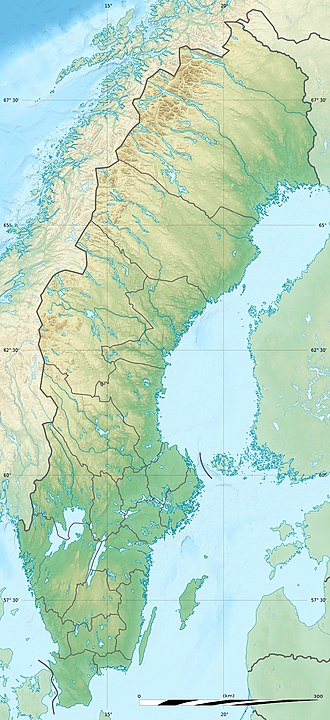
| Descrizione | Deutsch: Relief Positionskarte von Schweden English: Blank relief location map of Sweden Français : Carte physique vierge de la Suède, destinée à la géolocalisation. Scale: 1:3,708,000 (precision: 927 m)
Geographic limits of the map:
| ||
| Data | |||
| Fonte | Physical background map, rivers and lakes: own work
| ||
| Autore | Eric Gaba (Sting - fr:Sting) and NordNordWest | ||
| Licenza (Riusare questo file) |
| ||
| Altre versioni |
|


 | Questa mappa è stata prodotta e/o migliorata nel Kartenwerkstatt, il laboratorio grafico della Wikipedia tedesca, dove è possible proporre mappe da migliorare. |
Licenza
Io, detentore del copyright su quest'opera, dichiaro di pubblicarla con le seguenti licenze:
 | È permesso copiare, distribuire e/o modificare questo documento in base ai termini della GNU Free Documentation License, Versione 1.2 o successive pubblicata dalla Free Software Foundation; senza alcuna sezione non modificabile, senza testo di copertina e senza testo di quarta di copertina. Una copia della licenza è inclusa nella sezione intitolata Testo della GNU Free Documentation License. |
Questo file è disponibile in base alla licenza Creative Commons Attribuzione-Condividi allo stesso modo 3.0 Unported
- Tu sei libero:
- di condividere – di copiare, distribuire e trasmettere quest'opera
- di modificare – di adattare l'opera
- Alle seguenti condizioni:
- attribuzione – Devi fornire i crediti appropriati, un collegamento alla licenza e indicare se sono state apportate modifiche. Puoi farlo in qualsiasi modo ragionevole, ma non in alcun modo che suggerisca che il licenziante approvi te o il tuo uso.
- condividi allo stesso modo – Se remixi, trasformi o sviluppi il materiale, devi distribuire i tuoi contributi in base alla stessa licenza o compatibile all'originale.
Puoi scegliere la licenza che preferisci.
Cronologia del file
Fare clic su un gruppo data/ora per vedere il file come si presentava nel momento indicato.
| Data/Ora | Miniatura | Dimensioni | Utente | Commento | |
|---|---|---|---|---|---|
| attuale | 01:52, 1 ott 2017 | | 842 × 1 837 (541 KB) | Sting | Reverted to version as of 17:54, 5 August 2011 (UTC) - Negative: that would be the scale at the extreme top of the map which would introduce a reading error for the lower latitudes |
| 01:29, 1 ott 2017 |  | 842 × 1 837 (743 KB) | SlotaWoj | After adjusting the distance ruler. | |
| 19:54, 5 ago 2011 |  | 842 × 1 837 (541 KB) | Sting | == {{int:filedesc}} == {{Location|62|18|00|N|17|30|00|E|scale:7000000}} {{Information |Description= {{de|Relief Positionskarte von Schweden}} {{en|Blank relief location map of Sweden}} {{fr|Carte physique vierge de la [[:fr |
Utilizzo del file
Le seguenti 2 pagine usano questo file:
Utilizzo globale del file
Anche i seguenti wiki usano questo file:
- Usato nelle seguenti pagine di als.wikipedia.org:
- Usato nelle seguenti pagine di ar.wikipedia.org:
- Usato nelle seguenti pagine di arz.wikipedia.org:
- Usato nelle seguenti pagine di ast.wikipedia.org:
- Usato nelle seguenti pagine di az.wikipedia.org:
- Şablon:Yer xəritəsi İsveç
- Eland
- Venern gölü
- Vettern gölü
- Aland dənizi
- Botnik dənizi
- Cənubi Kvarken boğazı
- Şimali Kvarken boğazı
- Foresund boğazı
- Kalmarsund boğazı
- Skone yarımadası
- Kataya adası
- Blidyo adası
- İnqaryo adası
- Qotland adası
- Vermdyo adası
- Foqlaryo adası
- Kollandsyo adası
- Vendotberget
- Qrenbi krateri
- Kyrksjön
- Uraniborq rəsədxanası
- Lilqrund külək ferması
- Usato nelle seguenti pagine di be.wikipedia.org:
Visualizza l'utilizzo globale di questo file.
Metadati
Explore the world

United states
New York

Japan
Tokyo

Singapore
Singapore
