
 Français
 Italiano
Dimensioni di questa anteprima PNG per questo file SVG: 322 × 598 pixel. Altre risoluzioni: 129 × 240 pixel | 258 × 480 pixel | 413 × 768 pixel | 551 × 1 024 pixel | 1 102 × 2 048 pixel | 614 × 1 141 pixel.
File originale (file in formato SVG, dimensioni nominali 614 × 1 141 pixel, dimensione del file: 176 KB)
| Questo file e la sua pagina di descrizione (discussione · modifica) si trovano su Wikimedia Commons (?) |
 | The boundaries on this map show the de facto situation. This is just one of several different views on the subject (see COM:NPOV). |
Dettagli
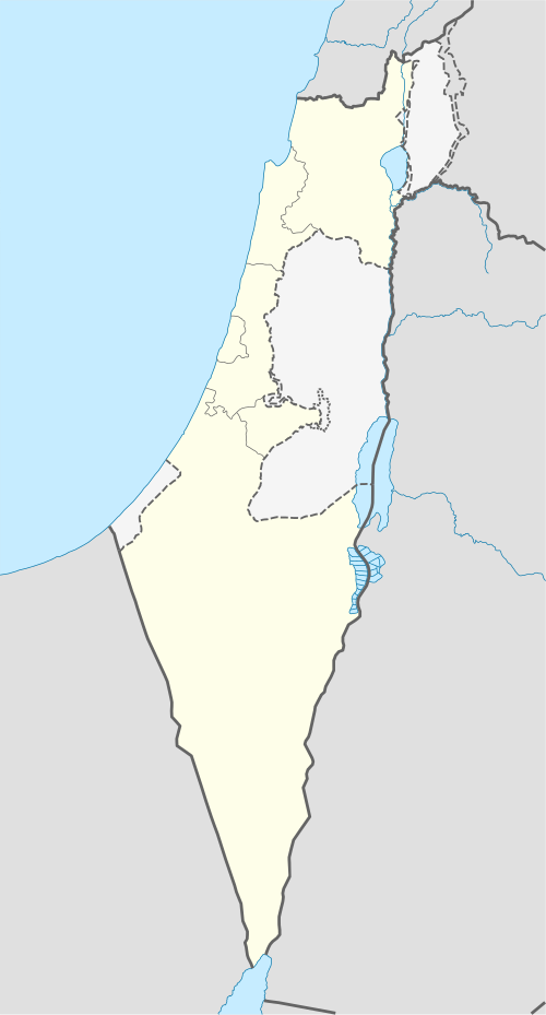
| Descrizione | Deutsch: Positionskarte von Israel. De-facto-Situation. Quadratische Plattkarte, N-S-Streckung 115 %. Geographische Begrenzung der Karte:
English: Location map of Israel. De facto situation. Equirectangular projection, N/S stretching 115%. Geographic limits of the map:
|
| Data | |
| Fonte | own work, using
|
| Autore | NordNordWest |
| Altre versioni | Opere derivate da questo file:
|


 | Questa mappa è stata prodotta e/o migliorata nel Kartenwerkstatt, il laboratorio grafico della Wikipedia tedesca, dove è possible proporre mappe da migliorare. |
Licenza
Io, detentore del copyright su quest'opera, dichiaro di pubblicarla con le seguenti licenze:
 | È permesso copiare, distribuire e/o modificare questo documento in base ai termini della GNU Free Documentation License, Versione 1.2 o successive pubblicata dalla Free Software Foundation; senza alcuna sezione non modificabile, senza testo di copertina e senza testo di quarta di copertina. Una copia della licenza è inclusa nella sezione intitolata Testo della GNU Free Documentation License. |
Questo file è disponibile in base alla licenza Creative Commons Attribuzione-Condividi allo stesso modo 3.0 Unported
- Tu sei libero:
- di condividere – di copiare, distribuire e trasmettere quest'opera
- di modificare – di adattare l'opera
- Alle seguenti condizioni:
- attribuzione – Devi fornire i crediti appropriati, un collegamento alla licenza e indicare se sono state apportate modifiche. Puoi farlo in qualsiasi modo ragionevole, ma non in alcun modo che suggerisca che il licenziante approvi te o il tuo uso.
- condividi allo stesso modo – Se remixi, trasformi o sviluppi il materiale, devi distribuire i tuoi contributi in base alla stessa licenza o compatibile all'originale.
Puoi scegliere la licenza che preferisci.
Cronologia del file
Fare clic su un gruppo data/ora per vedere il file come si presentava nel momento indicato.
| Data/Ora | Miniatura | Dimensioni | Utente | Commento | |
|---|---|---|---|---|---|
| attuale | 16:41, 16 giu 2018 | | 614 × 1 141 (176 KB) | Jdx | Reverted to version as of 09:34, 16 June 2018 (UTC) |
| 16:05, 16 giu 2018 |  | 614 × 1 141 (118 KB) | Beebbeebe | Reverted to version as of 00:41, 16 June 2018 (UTC) don't revert without motivating why your version is better | |
| 11:34, 16 giu 2018 |  | 614 × 1 141 (176 KB) | NordNordWest | Reverted to version as of 20:16, 14 May 2018 (UTC); please write your hundred articles and respect Commons:Overwriting existing files | |
| 02:41, 16 giu 2018 |  | 614 × 1 141 (118 KB) | Beebbeebe | Reverted to version as of 19:25, 14 May 2018 (UTC) The current map is simply incorrect. And I don't want to upload a new one, I'll have to edit more than a hundred wiki-articles. | |
| 22:16, 14 mag 2018 |  | 614 × 1 141 (176 KB) | NordNordWest | Commons:Overwriting existing files#Controversial or contested changes even has to be respected by User:Eric's son | |
| 21:25, 14 mag 2018 |  | 614 × 1 141 (118 KB) | Eric's son | Reverted to version as of 18:50, 10 March 2018 (UTC) | |
| 05:54, 14 mag 2018 |  | 614 × 1 141 (176 KB) | Nableezy | Reverted to version as of 23:24, 5 March 2018 (UTC) yes you can, this map shows the occupied territories as separate make another if you want | |
| 20:50, 10 mar 2018 |  | 614 × 1 141 (118 KB) | Eric's son | Again, you cant compare gaza to golan. Reverted to version as of 00:44, 20 January 2018 (UTC) | |
| 01:24, 6 mar 2018 |  | 614 × 1 141 (176 KB) | Nableezy | Reverted to version as of 21:07, 14 April 2014 (UTC) restore convention of black lines for international borders and dashed lines for disputed boundaries | |
| 02:44, 20 gen 2018 |  | 614 × 1 141 (118 KB) | Eric's son | Fixing small details in the green line |
Utilizzo del file
Le seguenti 20 pagine usano questo file:
Utilizzo globale del file
Anche i seguenti wiki usano questo file:
- Usato nelle seguenti pagine di af.wikipedia.org:
- Usato nelle seguenti pagine di als.wikipedia.org:
- Usato nelle seguenti pagine di am.wikipedia.org:
- Usato nelle seguenti pagine di ar.wikipedia.org:
- قائمة مدن إسرائيل
- باقة الغربية
- كفر قرع
- إجليل
- الجية
- العمارة (بئر السبع)
- إجزم (حيفا)
- مذبحة الدوايمة
- مذبحة بيت دراس
- بيت نبالا
- قالب:خريطة مواقع إسرائيل
- أم الفرج (فلسطين)
- مجزرة عين الزيتون
- خان الدوير
- ماروس
- سعسع (فلسطين)
- الكابري (فلسطين)
- السوافير الشمالية
- السوافير الشرقية
- الحرم (يافا)
- الجماسين الغربي
- الخيرية
- الحديثة (الرملة)
- حقل سارة وميرا
- مجزرة سعسع
- الجلمة (طولكرم)
- قالب:خريطة إسرائيل معلمة
- Usato nelle seguenti pagine di av.wikipedia.org:
- Usato nelle seguenti pagine di az.wikipedia.org:
Visualizza l'utilizzo globale di questo file.
Metadati
Explore the world

United states
New York

Japan
Tokyo

Singapore
Singapore
