
 Français
 Italiano
Dimensioni di questa anteprima PNG per questo file SVG: 704 × 600 pixel. Altre risoluzioni: 282 × 240 pixel | 564 × 480 pixel | 902 × 768 pixel | 1 202 × 1 024 pixel | 2 404 × 2 048 pixel | 851 × 725 pixel.
File originale (file in formato SVG, dimensioni nominali 851 × 725 pixel, dimensione del file: 379 KB)
| Questo file e la sua pagina di descrizione (discussione · modifica) si trovano su Wikimedia Commons (?) |
Dettagli
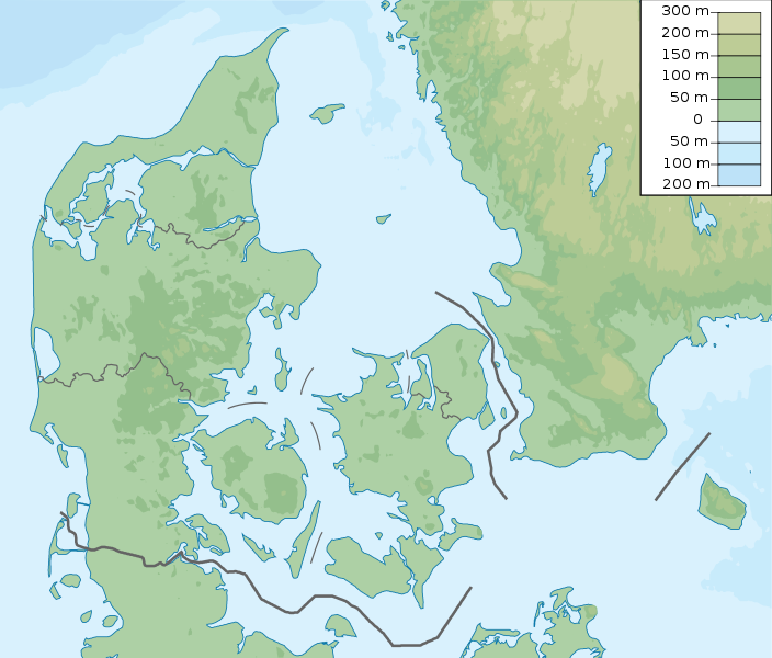
| Descrizione | Denmark physical map, parameters equal to File:Denmark location map.svg |
| Data | |
| Fonte | Opera propria |
| Autore | Urutseg |
Licenza
Io, detentore del copyright su quest'opera, dichiaro di pubblicarla con la seguente licenza:
| Questo file è reso disponibile nei termini della licenza Creative Commons CC0 1.0 Universal. | |
| La persona che ha associato un'opera con questo atto legale ha donato tale opera nel pubblico dominio rinunciando a tutti i diritti sull'opera in tutto il mondo, inclusi tutti i diritti connessi o altri diritti simili, per quanto permesso dalla legge. Puoi copiare, modificare, distribuire ed utilizzare l'opera, anche a fini commerciali, senza chiedere alcun permesso.
|
Cronologia del file
Fare clic su un gruppo data/ora per vedere il file come si presentava nel momento indicato.
| Data/Ora | Miniatura | Dimensioni | Utente | Commento | |
|---|---|---|---|---|---|
| attuale | 17:29, 25 nov 2022 | | 851 × 725 (379 KB) | GrandEscogriffe | more correct north-south stretching |
| 22:51, 23 ott 2013 |  | 851 × 686 (300 KB) | NordNordWest | upd | |
| 07:50, 16 mar 2011 |  | 852 × 689 (302 KB) | Urutseg |
Utilizzo del file
Le seguenti 2 pagine usano questo file:
Utilizzo globale del file
Anche i seguenti wiki usano questo file:
- Usato nelle seguenti pagine di als.wikipedia.org:
- Usato nelle seguenti pagine di ar.wikipedia.org:
- Usato nelle seguenti pagine di ast.wikipedia.org:
- Usato nelle seguenti pagine di azb.wikipedia.org:
- Usato nelle seguenti pagine di az.wikipedia.org:
- Luytla-Duymun
- Streymoy
- Şablon:Yer xəritəsi Danimarka
- Yutlandiya
- Böyük Kəmər
- Skagerrak
- Kattegat
- Kiçik Kəmər
- Zelandiya (ada)
- Fyun
- Vensyossel-Ti
- Limfyord boğazı
- Amager çimərliyi
- Anholt adası
- Boqe adası
- Samsyo adası
- Myon adası
- Oryo adası
- Femyo adası
- Feyyo adası
- Boroy adası
- Kalsoy adası
- Kunoy adası
- Koltur adası
- Skuvoy adası
- Suvuroy adası
- Hestur adası
- Esturoy adası
- Qoashyolmur adası
- Tindhyolmur adası
- Sandoy adası
- Stoura-Duymun adası
- Voar adası
- Nyolsoy adası
- Svuynoy adası
- Viyoy adası
- Miçines adası
- Sumbiarstaynur
- Franklin adası (Qrenlandiya)
- Fuqloy adası
- Qrenen burnu
- Danimarka boğazları
- Bornholm
- Saltholm
Visualizza l'utilizzo globale di questo file.
Metadati
Explore the world

United states
New York

Japan
Tokyo

Singapore
Singapore
