
 Français
 Italiano
גודל התצוגה המקדימה הזאת מסוג PNG של קובץ ה־SVG הזה: 800 × 545 פיקסלים. רזולוציות אחרות: 320 × 218 פיקסלים | 640 × 436 פיקסלים | 1,024 × 698 פיקסלים | 1,280 × 872 פיקסלים | 2,560 × 1,744 פיקסלים | 1,311 × 893 פיקסלים.
לקובץ המקורי (קובץ SVG, הגודל המקורי: 1,311 × 893 פיקסלים, גודל הקובץ: 58 ק"ב)
זהו קובץ שמקורו במיזם ויקישיתוף. תיאורו בדף תיאור הקובץ המקורי (בעברית) מוצג למטה ויקישיתוף הוא מאגר תמונות וקובצי מדיה חופשיים. אתם יכולים לעזור. |
תקציר
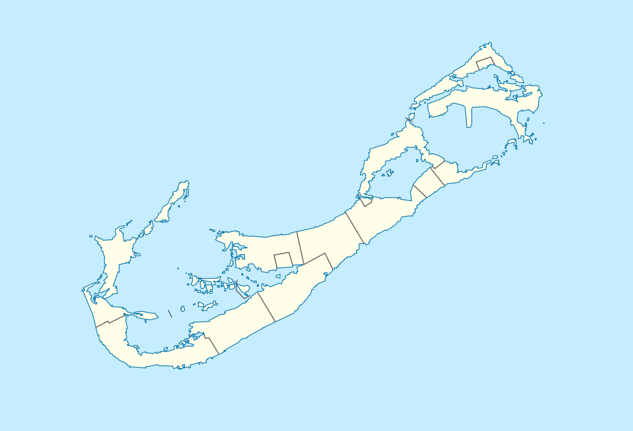
| תיאור | Deutsch: Positionskarte von Bermuda Geographische Begrenzung der Karte:
English: Location map of Bermuda Geographic limits of the map:
| ||||||||||||
| תאריך יצירה | |||||||||||||
| מקור | נוצר על־ידי מעלה היצירה | ||||||||||||
| יוצר | NordNordWest | ||||||||||||
| אישורים והיתרים (שימוש חוזר בקובץ זה) |
|
 | This map has been made or improved in the German Kartenwerkstatt (Map Lab). You can propose maps to improve as well. |
| ביאורים | תמונה זו מוערת: הצג את ההערות בויקישיתוף |
היסטוריית הקובץ
ניתן ללחוץ על תאריך/שעה כדי לראות את הקובץ כפי שנראה באותו זמן.
| תאריך/שעה | תמונה ממוזערת | ממדים | משתמש | הערה | |
|---|---|---|---|---|---|
| נוכחית | 19:29, 19 בדצמבר 2009 | | 893 × 1,311 (58 ק"ב) | NordNordWest | == {{int:filedesc}} == {{Information |Description= {{de|Positionskarte von Bermuda}} Geographische Begrenzung der Karte: * N: 32.41° N * S: 32.22° N * W: 64.93° W * O: 64.6° W {{en|Location map of Bermuda}} Geographic l |
שימוש בקובץ
אין דפים המשתמשים בקובץ זה.
שימוש גלובלי בקובץ
אתרי הוויקי האחרים הבאים משתמשים בקובץ הזה:
- שימוש באתר af.wikipedia.org
- שימוש באתר an.wikipedia.org
- שימוש באתר ar.wikipedia.org
- שימוש באתר ast.wikipedia.org
- שימוש באתר az.wikipedia.org
- שימוש באתר ba.wikipedia.org
- שימוש באתר be-tarask.wikipedia.org
- שימוש באתר be.wikipedia.org
- שימוש באתר bg.wikipedia.org
- שימוש באתר bn.wikipedia.org
- שימוש באתר bs.wikipedia.org
- שימוש באתר ceb.wikipedia.org
- Plantilya:Location map United Kingdom Bermuda
- Grape Bay (luuk sa Bermuda)
- Spanish Point
- South Channel
- Soldier Point
- Saint George
- Port Royal Bay
- Rabbit Island
- Nonsuch Bay
- The Narrows
- Long Island
- Long Bay
- High Point
- Green Bay
- Grape Bay
- Great Bay
- Goat Island
- Crawl Point
- Bird Island
- North Point
- North Channel
- Pembroke
- Long Rock
- Black Rock
- Cat Island
צפייה בשימושים גלובליים נוספים של הקובץ הזה.
Explore the world

United states
New York

Japan
Tokyo

Singapore
Singapore
