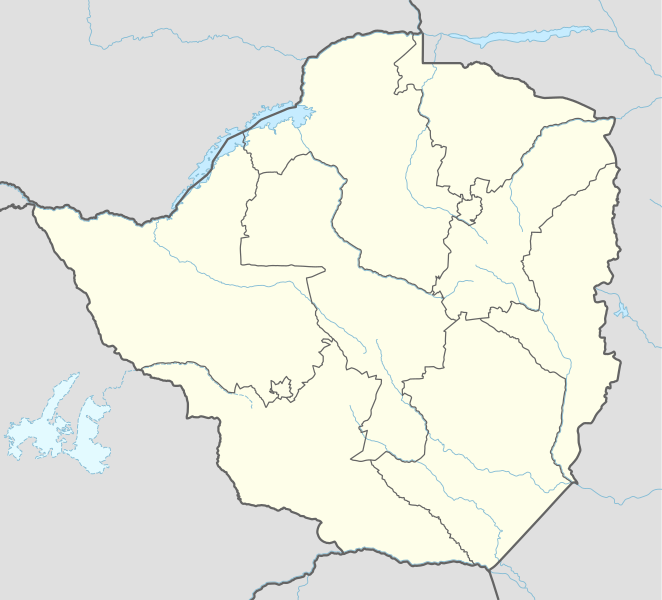
Taille de cet aperçu PNG pour ce fichier SVG : 662 × 600 pixels. Autres résolutions : 265 × 240 pixels | 530 × 480 pixels | 847 × 768 pixels | 1 130 × 1 024 pixels | 2 260 × 2 048 pixels | 832 × 754 pixels.
Fichier d’origine (Fichier SVG, nominalement de 832 × 754 pixels, taille : 184 kio)
Historique du fichier
Cliquer sur une date et heure pour voir le fichier tel qu'il était à ce moment-là.
| Date et heure | Vignette | Dimensions | Utilisateur | Commentaire | |
|---|---|---|---|---|---|
| actuel | 17 avril 2017 à 15:53 |  | 832 × 754 (184 kio) | NordNordWest | corr |
| 30 juin 2015 à 19:56 |  | 832 × 754 (186 kio) | NordNordWest | c | |
| 29 juin 2015 à 19:29 |  | 832 × 754 (186 kio) | NordNordWest | == {{int:filedesc}} == {{Information |Description= {{de|1=Positionskarte von Simbabwe}} {{en|1=Location map of Zimbabwe}} {{Location map series N |stretching=105 |top=-15.2 |bottom=-22.8 |left=24.8 |right=33.6 }} |Source={{Own using}} * United States N... |
Utilisation du fichier
Aucune page n’utilise ce fichier.
Usage global du fichier
Les autres wikis suivants utilisent ce fichier :
- Utilisation sur af.wikipedia.org
- Barberton (dubbelsinnig)
- Gonarezhou Nasionale Park
- Marondera
- Mutare
- Chivhu
- Beatrice, Zimbabwe
- Banket
- Bindura
- Gweru
- Aberdeen (dubbelsinnig)
- Masvingo
- Kwekwe
- Victoria-waterval
- Redcliff
- Karoi
- Chinhoyi
- Kadoma
- Hwange
- West Nicholson
- Chegutu
- Sjabloon:Liggingkaart Zimbabwe
- Zvishavane
- Esigodini
- Mbalabala
- Gwanda
- Shurugwi
- Mvuma
- Willowvale, Zimbabwe
- Zimbabwiese nasionale krieketspan
- Chitungwiza
- Groot-Zimbabwe
- Khami
- Mana Pools
- Barbertonmyn, Zimbabwe
- Krieketwêreldbeker 2003
- Victoria Falls
- Matopos
- Bubirivier
- Martins-waterval
- Mazowedam
- Shanganirivier
- Krieketwêreldbeker 2027
- Utilisation sur als.wikipedia.org
- Utilisation sur am.wikipedia.org
- Utilisation sur an.wikipedia.org
- Utilisation sur ar.wikipedia.org
- Utilisation sur ast.wikipedia.org
Voir davantage sur l’utilisation globale de ce fichier.


 Français
 Italiano


