
 Français
 Italiano
Taille de cet aperçu PNG pour ce fichier SVG : 721 × 600 pixels. Autres résolutions : 289 × 240 pixels | 577 × 480 pixels | 923 × 768 pixels | 1 231 × 1 024 pixels | 2 462 × 2 048 pixels | 1 500 × 1 248 pixels.
Fichier d’origine (Fichier SVG, nominalement de 1 500 × 1 248 pixels, taille : 4,33 Mio)
Description
| Description | |
| Date | |
| Source | Travail personnel
|
| Auteur | ikonact |
Conditions d’utilisation
Moi, en tant que détenteur des droits d’auteur sur cette œuvre, je la publie sous la licence suivante :
Ce fichier est sous la licence Creative Commons Attribution – Partage dans les Mêmes Conditions 4.0 International.
- Vous êtes libre :
- de partager – de copier, distribuer et transmettre cette œuvre
- d’adapter – de modifier cette œuvre
- Sous les conditions suivantes :
- paternité – Vous devez donner les informations appropriées concernant l'auteur, fournir un lien vers la licence et indiquer si des modifications ont été faites. Vous pouvez faire cela par tout moyen raisonnable, mais en aucune façon suggérant que l’auteur vous soutient ou approuve l’utilisation que vous en faites.
- partage à l’identique – Si vous modifiez, transformez ou vous basez sur cet élément, vous devez distribuer votre contribution sous une license identique ou compatible à celle de l’original.
Historique du fichier
Cliquer sur une date et heure pour voir le fichier tel qu'il était à ce moment-là.
| Date et heure | Vignette | Dimensions | Utilisateur | Commentaire | |
|---|---|---|---|---|---|
| actuel | 4 février 2022 à 14:53 | | 1 500 × 1 248 (4,33 Mio) | Ikonact | desc // Editing SVG source code using c:User:Rillke/SVGedit.js |
| 4 février 2022 à 14:52 |  | 1 500 × 1 248 (4,33 Mio) | Ikonact | desc & title modification // Editing SVG source code using c:User:Rillke/SVGedit.js | |
| 4 février 2022 à 14:50 |  | 1 500 × 1 248 (4,33 Mio) | Ikonact | +desc // Editing SVG source code using c:User:Rillke/SVGedit.js | |
| 4 février 2022 à 14:47 |  | 1 500 × 1 248 (4,33 Mio) | Ikonact | + title // Editing SVG source code using c:User:Rillke/SVGedit.js | |
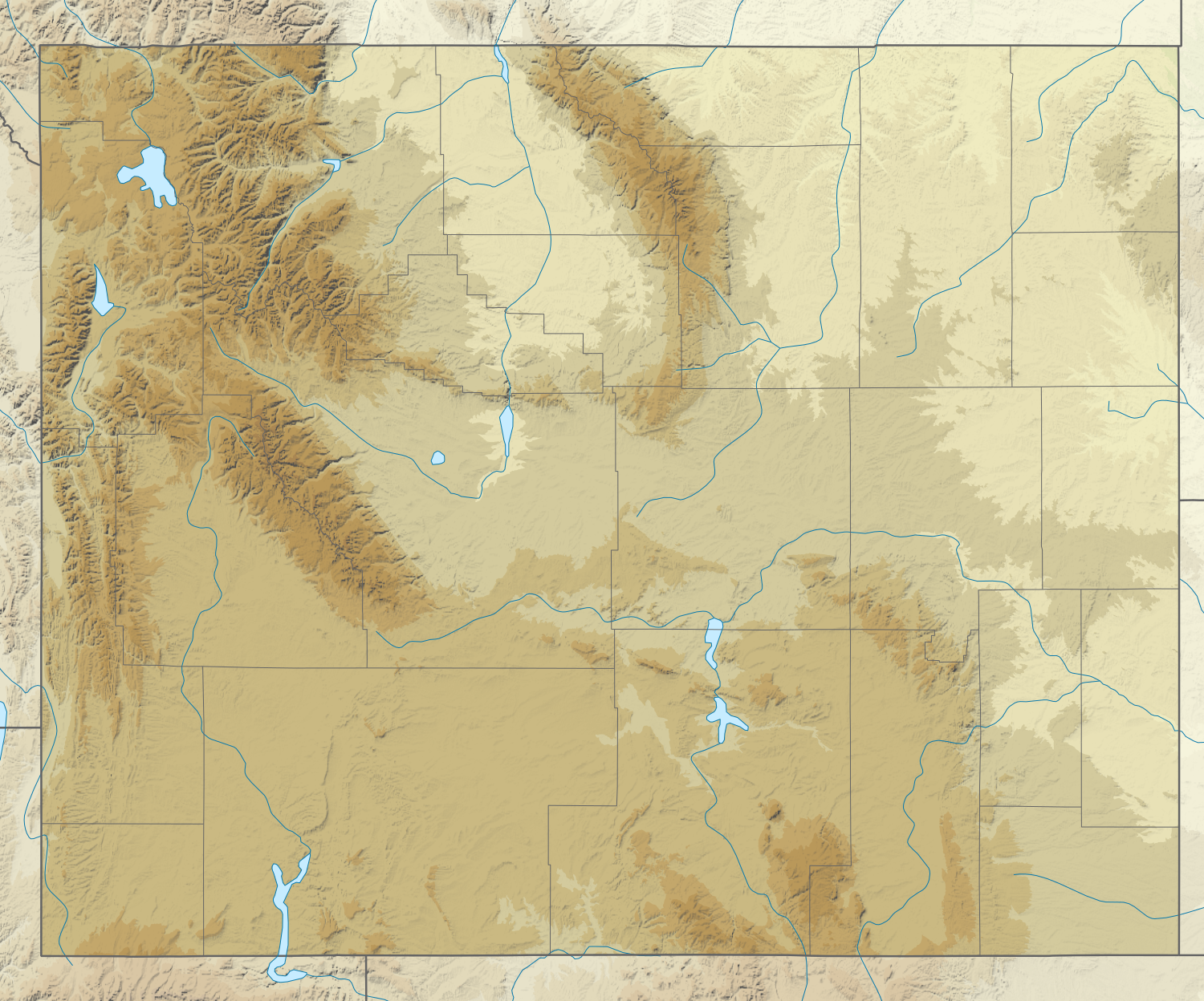
| 4 février 2022 à 08:31 |  | 1 500 × 1 248 (4,33 Mio) | Ikonact | =={{int:filedesc}}== {{Information |description={{en|1=Relief location map of {{W|Wyoming}}, {{W|USA}} Geographic limits of the map: * N: 45.2° N * S: 40.8° N * W: 111.3° W * E: 103.9° W}} |date=2022-02-04 |source={{own}} *Based on File:USA Wyoming location map.svg *Public domain SRTM3 |author=ikonact |permission= |other versions= }} =={{int:license-header}}== {{self|cc-by-sa-4.0}} Category:Location maps of Wyoming |
Utilisation du fichier
Aucune page n’utilise ce fichier.
Usage global du fichier
Les autres wikis suivants utilisent ce fichier :
- Utilisation sur de.wikipedia.org
- Grand Canyon of the Yellowstone
- Upper Falls
- Lower Falls
- Hayden Valley
- Mount Washburn
- Crystal Falls
- Eagle Peak (Park County)
- Oberes Geysir-Becken
- Jackson Hole
- Gibbon-Fälle
- Jackson Lake
- Jenny Lake
- Vorlage:Positionskarte USA Wyoming
- Lewis Lake
- Buffalo Bill Dam
- Shoshone Lake
- Lake DeSmet
- Bear River State Park
- Mount Moran
- Boysen State Park
- Hot Springs State Park
- Glendo State Park
- Laramie Peak
- Heart Lake (Wyoming)
- Sinks Canyon State Park
- Buffalo Bill State Park
- Curt Gowdy State Park
- Gannett Peak
- Edness K. Wilkins State Park
- Wyoming Hereford Ranch Reservoir Number 1
- Wyoming Hereford Ranch Reservoir Number 2
- Packer Lake (Wyoming)
- Cirque of the Towers
- Mount Sheridan
- KKPL
- Hawk Springs State Recreation Area
- Keyhole State Park
- Seminoe State Park
- Mount Everts
- Two Ocean Lake
- Grand Teton
- Cedar Mountain (Wyoming)
- Mount Schurz
- Lamar Valley
- KWRR
- KUWA
- Breccia Peak (Wyoming)
- Buck Mountain (Wyoming)
- Union Peak (Wyoming)
- Whiskey Mountain
Voir davantage sur l’utilisation globale de ce fichier.
Métadonnées
Explore the world

United states
New York

Japan
Tokyo

Singapore
Singapore
