
 Français
 Italiano
Taille de cet aperçu PNG pour ce fichier SVG : 453 × 599 pixels. Autres résolutions : 181 × 240 pixels | 363 × 480 pixels | 580 × 768 pixels | 774 × 1 024 pixels | 1 548 × 2 048 pixels | 945 × 1 250 pixels.
Fichier d’origine (Fichier SVG, nominalement de 945 × 1 250 pixels, taille : 780 kio)
Description
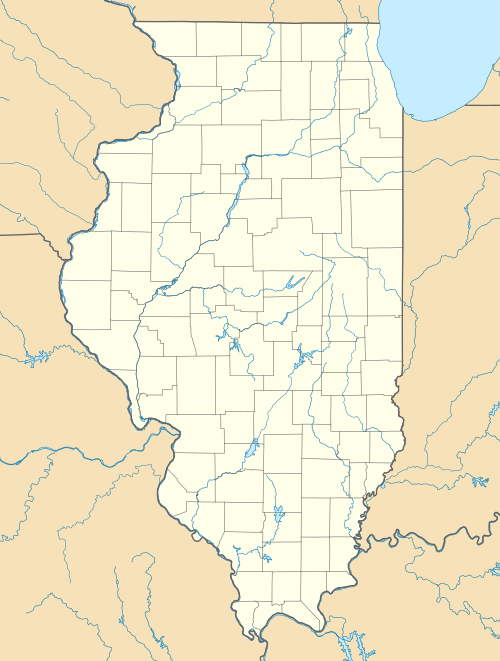
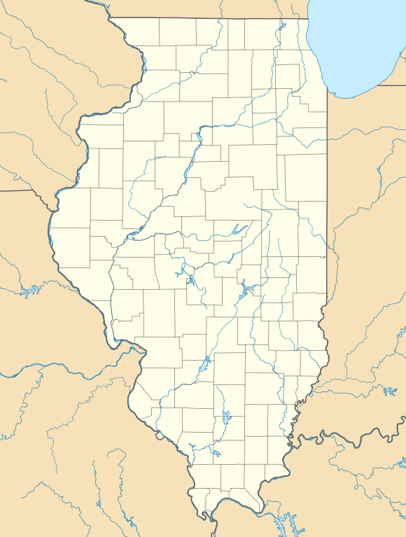
| Description | Quadratische Plattkarte, N-S-Streckung 130.0 %. Geographische Begrenzung der Karte:
Equirectangular projection, N/S stretching 130.0 %. Geographic limits of the map:
|
| Date | |
| Source | Travail personnel |
| Auteur | Alexrk2 |
| Autres versions | Œuvres dérivées de ce fichier : Œuvres dérivées de ce fichier : |
 | Cette carte a été créée ou améliorée dans le Kartenwerkstatt (Atelier cartographique allemand). Vous pouvez également y proposer des cartes à améliorer. |
Conditions d’utilisation
Moi, en tant que détenteur des droits d’auteur sur cette œuvre, je la publie sous les licences suivantes :
 | Vous avez la permission de copier, distribuer et modifier ce document selon les termes de la GNU Free Documentation License version 1.2 ou toute version ultérieure publiée par la Free Software Foundation, sans sections inaltérables, sans texte de première page de couverture et sans texte de dernière page de couverture. Un exemplaire de la licence est inclus dans la section intitulée GNU Free Documentation License. |
Ce fichier est disponible selon les termes de la licence Creative Commons Attribution 3.0 Non Transposé.
- Vous êtes libre :
- de partager – de copier, distribuer et transmettre cette œuvre
- d’adapter – de modifier cette œuvre
- Sous les conditions suivantes :
- paternité – Vous devez donner les informations appropriées concernant l'auteur, fournir un lien vers la licence et indiquer si des modifications ont été faites. Vous pouvez faire cela par tout moyen raisonnable, mais en aucune façon suggérant que l’auteur vous soutient ou approuve l’utilisation que vous en faites.
Vous pouvez choisir l’une de ces licences.
Historique du fichier
Cliquer sur une date et heure pour voir le fichier tel qu'il était à ce moment-là.
| Date et heure | Vignette | Dimensions | Utilisateur | Commentaire | |
|---|---|---|---|---|---|
| actuel | 10 juillet 2009 à 16:59 | | 945 × 1 250 (780 kio) | Alexrk2 | == Beschreibung == {{Information |Description= {{de|Positionskarte von Illinois, USA}} Quadratische Plattkarte, N-S-Streckung 130.0 %. Geographische Begrenzung der Karte: * N: 42.7° N * S: 36.8° N * W: 92.2° W * O: 86.4° W |
Utilisation du fichier
Aucune page n’utilise ce fichier.
Usage global du fichier
Les autres wikis suivants utilisent ce fichier :
- Utilisation sur als.wikipedia.org
- Utilisation sur an.wikipedia.org
- Utilisation sur ar.wikipedia.org
- Utilisation sur azb.wikipedia.org
- مندوتا، ایلینوی
- بلو آیلند، ایلینوی
- پولو، ایلینوی
- روشل، ایلینوی
- آنا، ایلینوی
- اوربانا، ایلینوی
- اورقون، ایلینوی
- ساووی، ایلینوی
- قرند دیتور، ایلینوی
- وست یونیون، ایلینوی
- آیوسدال
- استل، ایلینوی
- چانا، ایلینوی
- بیلیویل، ایلینوی
- ایقان، ایلینوی
- لیندنوود، ایلینوی
- ووسانق، ایلینوی
- ماسویل، ایلینوی
- پساتوم، ایلینوی
- اورقرین پارک، ایلینوی
- توماسبورو، ایلینوی
- تولونو، ایلینوی
- پاینز پوینت، ایلینوی
- فلاج، ایلینوی
- سیدنئی، ایلینوی
- ایست.جوزف، ایلینوی
- Utilisation sur az.wikipedia.org
- Utilisation sur be.wikipedia.org
- Utilisation sur bg.wikipedia.org
- Utilisation sur bn.wikipedia.org
- Utilisation sur ca.wikipedia.org
- Utilisation sur ceb.wikipedia.org
Voir davantage sur l’utilisation globale de ce fichier.
Métadonnées
Explore the world

United states
New York

Japan
Tokyo

Singapore
Singapore
