
 Français
 Italiano
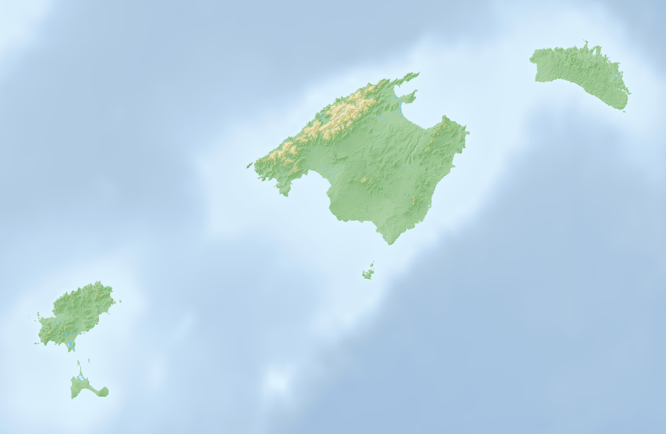
Taille de cet aperçu : 800 × 522 pixels. Autres résolutions : 320 × 209 pixels | 640 × 417 pixels | 1 024 × 668 pixels | 1 280 × 835 pixels | 2 332 × 1 521 pixels.
Fichier d’origine (2 332 × 1 521 pixels, taille du fichier : 792 kio, type MIME : image/png)
Description
| Description | Deutsch: Reliefkarte der Balearischen Inseln |
| Date | |
| Source | Travail personnel, Topographischer Hintergrund: NASA Shuttle Radar Topography Mission (public domain). SRTM3 v.2. |
| Auteur | Tschubby |
Conditions d’utilisation
Moi, en tant que détenteur des droits d’auteur sur cette œuvre, je la publie sous les licences suivantes :
 | Vous avez la permission de copier, distribuer et modifier ce document selon les termes de la GNU Free Documentation License version 1.2 ou toute version ultérieure publiée par la Free Software Foundation, sans sections inaltérables, sans texte de première page de couverture et sans texte de dernière page de couverture. Un exemplaire de la licence est inclus dans la section intitulée GNU Free Documentation License. |
Ce fichier est sous licence Creative Commons Attribution – Partage dans les Mêmes Conditions 3.0 Non Transposé, 2.5 Générique, 2.0 Générique et 1.0 Générique.
- Vous êtes libre :
- de partager – de copier, distribuer et transmettre cette œuvre
- d’adapter – de modifier cette œuvre
- Sous les conditions suivantes :
- paternité – Vous devez donner les informations appropriées concernant l'auteur, fournir un lien vers la licence et indiquer si des modifications ont été faites. Vous pouvez faire cela par tout moyen raisonnable, mais en aucune façon suggérant que l’auteur vous soutient ou approuve l’utilisation que vous en faites.
- partage à l’identique – Si vous modifiez, transformez ou vous basez sur cet élément, vous devez distribuer votre contribution sous une license identique ou compatible à celle de l’original.
Vous pouvez choisir l’une de ces licences.
Historique du fichier
Cliquer sur une date et heure pour voir le fichier tel qu'il était à ce moment-là.
| Date et heure | Vignette | Dimensions | Utilisateur | Commentaire | |
|---|---|---|---|---|---|
| actuel | 7 avril 2022 à 16:07 | | 2 332 × 1 521 (792 kio) | Tschubby | == {{int:filedesc}} == {{Information |Description={{de|Reliefkarte der Balearischen Inseln}} |Source={{own}}, Hintergrund: [http://www.openstreetmap.org Openstreetmap] |Date=2022-04-07 |Author=Tschubby |Permission= |other_versions= }} == {{int:license-header}} == {{self|GFDL|cc-by-sa-3.0,2.5,2.0,1.0}} Category:Maps of the Balearic Islands Category:Location maps of the Balearic Islands |
Utilisation du fichier
Aucune page n’utilise ce fichier.
Usage global du fichier
Les autres wikis suivants utilisent ce fichier :
- Utilisation sur da.wikipedia.org
- Utilisation sur de.wikipedia.org
- Pityusen
- Sa Dragonera
- Ses Païsses
- Cala Tuent
- Cala Morlanda
- S’Arenal de Sa Canova
- Es Ribell
- Cala Torta
- Cala Varques
- Cala Agulla
- Cala Moltó
- Cala Son Moll
- Cala Mesquida
- Platja de Canyamel
- Espalmador
- Puig Major
- Puig de Massanella
- Torralba d’en Salord
- Torre d’en Galmés
- Cala Vadella
- Es Vedrà
- Cala Carbo
- Cala des Matzoc
- Cala Mitjana (Artà)
- Cala Estreta
- Sa Font Celada
- Estany Pudent
- S’Arenalet des Verger
- Talaiotische Siedlung von Capocorb Vell
- Es Pantaleu
- Cala Gat
- Talatí de Dalt
- Platja de Son Real
- Platja des Caragol
- Talaiotische Siedlung von Sa Canova
- Cala Nau
- Son Fornés
- Prähistorisches Dorf von S’Hospitalet Vell
- Puig de Randa
- Platja de sa Marjal
- Cala Millor (Arenal de Son Servera)
- Cala Millor (Platja de Sant Llorenç)
- Son Moro (Platja de Sant Llorenç)
- Talaiotische Siedlung von S’Illot
- Son Catlar
- Wikipedia:Kartenwerkstatt/Positionskarten/Europa
- Caló d’en Rafalino
- Faraió d’Aubarca
- Torre des Matzoc
Voir davantage sur l’utilisation globale de ce fichier.
Métadonnées
Explore the world

United states
New York

Japan
Tokyo

Singapore
Singapore
