
 Français
 Italiano
Taille de cet aperçu PNG pour ce fichier SVG : 532 × 600 pixels. Autres résolutions : 213 × 240 pixels | 426 × 480 pixels | 681 × 768 pixels | 908 × 1 024 pixels | 1 817 × 2 048 pixels | 2 176 × 2 453 pixels.
Fichier d’origine (Fichier SVG, nominalement de 2 176 × 2 453 pixels, taille : 805 kio)
W3C-validity not checked.
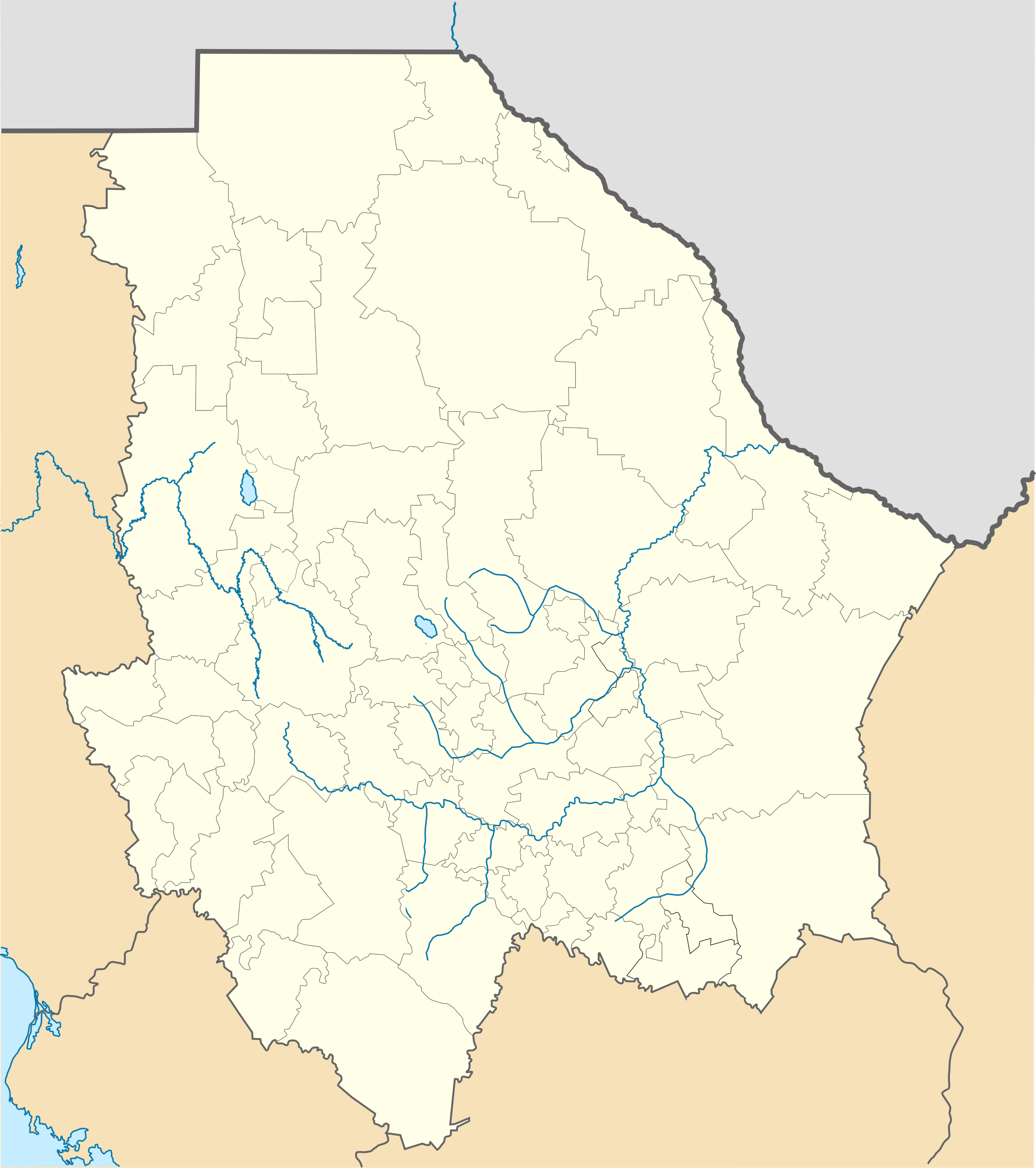
| Description | Location Map of Chihuahua Equirectangular projection, Geographic limits of the map:
|
| Date | |
| Source | Travail personnel |
| Auteur | Battroid (talk) |
Moi, en tant que détenteur des droits d’auteur sur cette œuvre, je la publie sous la licence suivante :
| Moi, propriétaire des droits d’auteur sur cette œuvre, la place dans le domaine public. Ceci s'applique dans le monde entier. Dans certains pays, ceci peut ne pas être possible ; dans ce cas : J’accorde à toute personne le droit d’utiliser cette œuvre dans n’importe quel but, sans aucune condition, sauf celles requises par la loi. |
Historique du fichier
Cliquer sur une date et heure pour voir le fichier tel qu'il était à ce moment-là.
| Date et heure | Vignette | Dimensions | Utilisateur | Commentaire | |
|---|---|---|---|---|---|
| actuel | 4 novembre 2012 à 23:15 | | 2 176 × 2 453 (805 kio) | Battroid | {{ValidSVG}} {{Information |Description=Location Map of Chihuahua Equirectangular projection, Geographic limits of the map: * N: 32.03° N * S: 25.45° N * W: 109.47° W * E: 102.82° W |Source={{own work}} |Date=2011-08-21 |Author=[[... |
| 5 mars 2012 à 07:06 |  | 2 176 × 2 453 (728 kio) | Battroid | {{ValidSVG}} {{Information |Description=Location Map of Chihuahua Equirectangular projection, Geographic limits of the map: * N: 32.03° N * S: 25.45° N * W: 109.47° W * E: 102.82° W |Source={{own work}} |Date=2011-08-21 |Author=[[... | |
| 21 août 2011 à 19:44 |  | 2 176 × 2 453 (721 kio) | Battroid | {{ValidSVG}} {{Information |Description=Location Map of Chihuahua Equirectangular projection, Geographic limits of the map: * N: 32.03° N * S: 25.45° N * W: 109.47° W * E: 102.82° W |Source={{own work}} |Date=2011-08-21 |Author=[[Use |
Utilisation du fichier
Aucune page n’utilise ce fichier.
Usage global du fichier
Les autres wikis suivants utilisent ce fichier :
- Utilisation sur ar.wikipedia.org
- Utilisation sur bg.wikipedia.org
- Utilisation sur ceb.wikipedia.org
- Utilisation sur ce.wikipedia.org
- Utilisation sur de.wikipedia.org
- Chihuahua (Stadt)
- Barranca del Cobre
- Ciudad Juárez
- Nuevo Casas Grandes
- Parral (Chihuahua)
- Ojinaga
- Cuauhtémoc (Chihuahua)
- Wikipedia:Kartenwerkstatt/Positionskarten/Nordamerika
- Estadio Monumental Chihuahua
- Estadio Olímpico Benito Juárez
- Naica
- Creel
- Meoqui
- Vorlage:Positionskarte Mexiko Chihuahua
- Cerro Mohinora
- Nationalpark Cumbres de Majalca
- Batopilas
- Valle de Allende
- Estadio Olímpico Universitario José Reyes Baeza
- Casas Grandes
- Utilisation sur en.wikipedia.org
- Copper Canyon
- Ciudad Juárez
- Parral, Chihuahua
- Ciudad Madera
- Camargo, Chihuahua
- Chihuahua International Airport
- Ciudad Juárez International Airport
- Delicias, Chihuahua
- Batopilas, Chihuahua
- User:Stone/MPS
- Lake Arareco
- Puerto Palomas, Chihuahua
- Batopilas Municipality
- Santa Bárbara, Chihuahua
- Ascensión, Chihuahua
- Guachochi
- Carichí
- Témoris
Voir davantage sur l’utilisation globale de ce fichier.
Métadonnées
Explore the world

United states
New York

Japan
Tokyo

Singapore
Singapore
