
 Français
 Italiano
Taille de cet aperçu PNG pour ce fichier SVG : 322 × 598 pixels. Autres résolutions : 129 × 240 pixels | 258 × 480 pixels | 413 × 768 pixels | 551 × 1 024 pixels | 1 102 × 2 048 pixels | 614 × 1 141 pixels.
Fichier d’origine (Fichier SVG, nominalement de 614 × 1 141 pixels, taille : 176 kio)
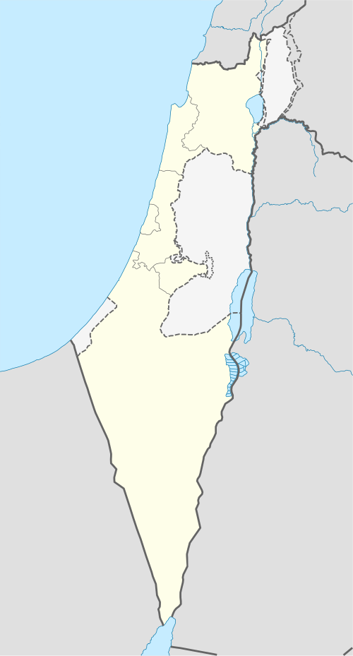
 | Les frontières de cette carte représentent la situation de facto. Il s'agit juste de l'un des quelques points de vue différents sur le sujet (voir COM:NPOV). |
Description
| Description | Deutsch: Positionskarte von Israel. De-facto-Situation. Quadratische Plattkarte, N-S-Streckung 115 %. Geographische Begrenzung der Karte:
English: Location map of Israel. De facto situation. Equirectangular projection, N/S stretching 115%. Geographic limits of the map:
|
| Date | |
| Source | own work, using
|
| Auteur | NordNordWest |
| Autres versions | Œuvres dérivées de ce fichier :
|


 | Cette carte a été créée ou améliorée dans le Kartenwerkstatt (Atelier cartographique allemand). Vous pouvez également y proposer des cartes à améliorer. |
Conditions d’utilisation
Moi, en tant que détenteur des droits d’auteur sur cette œuvre, je la publie sous les licences suivantes :
 | Vous avez la permission de copier, distribuer et modifier ce document selon les termes de la GNU Free Documentation License version 1.2 ou toute version ultérieure publiée par la Free Software Foundation, sans sections inaltérables, sans texte de première page de couverture et sans texte de dernière page de couverture. Un exemplaire de la licence est inclus dans la section intitulée GNU Free Documentation License. |
Ce fichier est disponible selon les termes de la licence Creative Commons Attribution – Partage dans les Mêmes Conditions 3.0 Non Transposé.
- Vous êtes libre :
- de partager – de copier, distribuer et transmettre cette œuvre
- d’adapter – de modifier cette œuvre
- Sous les conditions suivantes :
- paternité – Vous devez donner les informations appropriées concernant l'auteur, fournir un lien vers la licence et indiquer si des modifications ont été faites. Vous pouvez faire cela par tout moyen raisonnable, mais en aucune façon suggérant que l’auteur vous soutient ou approuve l’utilisation que vous en faites.
- partage à l’identique – Si vous modifiez, transformez ou vous basez sur cet élément, vous devez distribuer votre contribution sous une license identique ou compatible à celle de l’original.
Vous pouvez choisir l’une de ces licences.
Historique du fichier
Cliquer sur une date et heure pour voir le fichier tel qu'il était à ce moment-là.
| Date et heure | Vignette | Dimensions | Utilisateur | Commentaire | |
|---|---|---|---|---|---|
| actuel | 16 juin 2018 à 14:41 | | 614 × 1 141 (176 kio) | Jdx | Reverted to version as of 09:34, 16 June 2018 (UTC) |
| 16 juin 2018 à 14:05 |  | 614 × 1 141 (118 kio) | Beebbeebe | Reverted to version as of 00:41, 16 June 2018 (UTC) don't revert without motivating why your version is better | |
| 16 juin 2018 à 09:34 |  | 614 × 1 141 (176 kio) | NordNordWest | Reverted to version as of 20:16, 14 May 2018 (UTC); please write your hundred articles and respect Commons:Overwriting existing files | |
| 16 juin 2018 à 00:41 |  | 614 × 1 141 (118 kio) | Beebbeebe | Reverted to version as of 19:25, 14 May 2018 (UTC) The current map is simply incorrect. And I don't want to upload a new one, I'll have to edit more than a hundred wiki-articles. | |
| 14 mai 2018 à 20:16 |  | 614 × 1 141 (176 kio) | NordNordWest | Commons:Overwriting existing files#Controversial or contested changes even has to be respected by User:Eric's son | |
| 14 mai 2018 à 19:25 |  | 614 × 1 141 (118 kio) | Eric's son | Reverted to version as of 18:50, 10 March 2018 (UTC) | |
| 14 mai 2018 à 03:54 |  | 614 × 1 141 (176 kio) | Nableezy | Reverted to version as of 23:24, 5 March 2018 (UTC) yes you can, this map shows the occupied territories as separate make another if you want | |
| 10 mars 2018 à 18:50 |  | 614 × 1 141 (118 kio) | Eric's son | Again, you cant compare gaza to golan. Reverted to version as of 00:44, 20 January 2018 (UTC) | |
| 5 mars 2018 à 23:24 |  | 614 × 1 141 (176 kio) | Nableezy | Reverted to version as of 21:07, 14 April 2014 (UTC) restore convention of black lines for international borders and dashed lines for disputed boundaries | |
| 20 janvier 2018 à 00:44 |  | 614 × 1 141 (118 kio) | Eric's son | Fixing small details in the green line |
Utilisation du fichier
Aucune page n’utilise ce fichier.
Usage global du fichier
Les autres wikis suivants utilisent ce fichier :
- Utilisation sur af.wikipedia.org
- Utilisation sur als.wikipedia.org
- Utilisation sur am.wikipedia.org
- Utilisation sur ar.wikipedia.org
- قائمة مدن إسرائيل
- تل أبيب
- باقة الغربية
- إيلات
- كفر قرع
- إجليل
- الجية
- العمارة (بئر السبع)
- إجزم (حيفا)
- مذبحة الدوايمة
- مذبحة بيت دراس
- بيت نبالا
- قالب:خريطة مواقع إسرائيل
- أم الفرج (فلسطين)
- مجزرة عين الزيتون
- خان الدوير
- ماروس
- سعسع (فلسطين)
- الكابري (فلسطين)
- السوافير الشمالية
- السوافير الشرقية
- الحرم (يافا)
- الجماسين الغربي
- الخيرية
- الحديثة (الرملة)
- حقل سارة وميرا
- مجزرة سعسع
- الجلمة (طولكرم)
- قالب:خريطة إسرائيل معلمة
- Utilisation sur av.wikipedia.org
Voir davantage sur l’utilisation globale de ce fichier.
Métadonnées
Explore the world

United states
New York

Japan
Tokyo

Singapore
Singapore
