
 Français
 Italiano
Taille de cet aperçu PNG pour ce fichier SVG : 600 × 600 pixels. Autres résolutions : 240 × 240 pixels | 480 × 480 pixels | 768 × 768 pixels | 1 024 × 1 024 pixels | 2 048 × 2 048 pixels.
Fichier d’origine (Fichier SVG, nominalement de 600 × 600 pixels, taille : 19 kio)
.svg)
Description
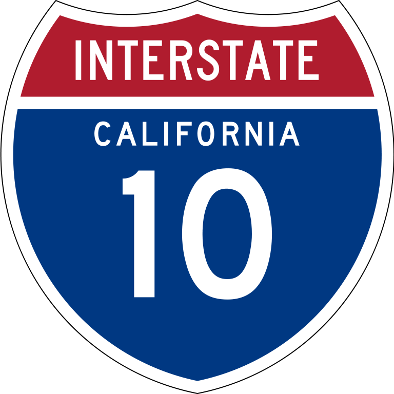
| Description | English: 24 in by 24 in (600 mm by 600 mm) Interstate shield, made to the specifications of the 1971 Caltrans sign drawing (still in use). Uses the Roadgeek 2005 fonts. (United States law does not permit the copyrighting of typeface designs, and the fonts are meant to be copies of a U.S. Government-produced work anyway.) Colors are from [1] (Pantone Red 187 and Blue 294), converted to RGB by [2]. The outside border has a width of 1 and a color of black so it shows up; in reality, signs have no outside border. |
| Date | |
| Source | Travail personnel |
| Auteur | O |
| SVG information | Le code de ce fichier SVG n'est pas valide en raison d'une erreur. Ce panneau W3C-invalide a été créé avec Adobe Illustrator, et avec Inkscape. |
Conditions d’utilisation
This file is in the public domain because it comes from the Manual on Uniform Traffic Control Devices, sign number M1-1, which states specifically on page I-1 that:
| .svg) |
 | Cette œuvre contient des ressources qui peuvent être soumises aux lois des marques dans certaines juridictions. Avant d'utiliser ce contenu, veuillez vous assurer que vous avez le droit de l'utiliser dans le cadre des lois qui s'appliquent aux circonstances dans lesquelles vous comptez l'utiliser. Vous êtes entièrement responsable de vérifier que le droit de marque d'un tiers n'est pas enfreint. Voir les avertissements généraux. Ce bandeau n’indique rien sur le statut de l’œuvre au regard du droit d'auteur. Un bandeau de droit d’auteur est requis. Voir Commons:À propos des licences pour plus d’informations. |
Historique du fichier
Cliquer sur une date et heure pour voir le fichier tel qu'il était à ce moment-là.
.svg&dir=prev)
.svg&offset=20090325084926)
.svg&offset=&limit=20)
.svg&offset=&limit=50)
.svg&offset=&limit=100)
.svg&offset=&limit=250)
.svg&offset=&limit=500)
| Date et heure | Vignette | Dimensions | Utilisateur | Commentaire | |
|---|---|---|---|---|---|
| actuel | 21 septembre 2011 à 21:07 | | 600 × 600 (19 kio) | Fredddie | spec says INTERSTATE legend is Series C |
| 27 août 2009 à 19:27 |  | 384 × 385 (36 kio) | T2 | Reverted to version as of 13:02, 23 July 2009 | |
| 27 août 2009 à 07:53 |  | 601 × 601 (22 kio) | Rukshanawahab | text FHWA D | |
| 23 juillet 2009 à 13:02 |  | 384 × 385 (36 kio) | T2 | Reverted to version as of 09:08, 25 March 2009 | |
| 23 juillet 2009 à 13:00 |  | 384 × 385 (22 kio) | T2 | Reverted to version as of 17:43, 20 July 2009 | |
| 23 juillet 2009 à 12:46 |  | 601 × 601 (22 kio) | T2 | update | |
| 23 juillet 2009 à 12:39 |  | 601 × 601 (22 kio) | T2 | update | |
| 20 juillet 2009 à 17:43 |  | 384 × 385 (22 kio) | T2 | update | |
| 25 mars 2009 à 09:08 |  | 384 × 385 (36 kio) | T2 | update | |
| 25 mars 2009 à 08:49 |  | 384 × 385 (34 kio) | T2 | update |
Utilisation du fichier
Aucune page n’utilise ce fichier.
Usage global du fichier
Les autres wikis suivants utilisent ce fichier :
- Utilisation sur ar.wikipedia.org
- Utilisation sur azb.wikipedia.org
- Utilisation sur az.wikipedia.org
- Utilisation sur ca.wikipedia.org
- Utilisation sur de.wikipedia.org
- Utilisation sur en.wikipedia.org
- Southern California
- Greater Los Angeles
- Pomona, California
- Fontana, California
- User:Branddobbe/Temporary
- Santa Ana River
- Transportation in Los Angeles
- Southern California freeways
- California State Route 10
- Wikipedia:WikiProject U.S. Roads/Redirects/California
- San Bernardino Valley
- Interstate 10 in California
- User:Gateman1997/Highways
- Transportation in California
- Transportation in the Inland Empire
- User:Timsabin/List of HOT and ETL lanes in the United States
- Long Way Up
- User:Gz260/Roads/I (USA)/Wikidata
- User:Morriswa/Highway sorted by location
- User:Elvatomasvato
- User:BenjaminTheTrainGuy/Santa Monica Freeway
- List of streets in the San Gabriel Valley
- User:LineBoyd/Sandbox/California State Route 25
- Utilisation sur es.wikipedia.org
- Condado de Los Ángeles
- Sur de California
- Anexo:Autopistas interestatales auxiliares
- Condado de Riverside
- Condado de San Bernardino
- Anexo:Carreteras estatales de California
- Ruta Estatal de California 57
- Interestatal 210 y Ruta Estatal 210
- Ruta Estatal de California 79
- Interestatal 5 en California
- Autopista Santa Ana
- Interestatal 405 (California)
- Interestatal 10 en California
- East Los Angeles Interchange
- Interestatal 15 en California
- Ruta Estatal de California 71
- Ruta Estatal de California 60
- Interestatal 110 y Ruta Estatal 110
- Interestatal 215 (California)
- Interestatal 605
Voir davantage sur l’utilisation globale de ce fichier.
.svg)
.svg)
Explore the world

United states
New York

Japan
Tokyo

Singapore
Singapore
