
 Français
 Italiano
Taille de cet aperçu PNG pour ce fichier SVG : 303 × 598 pixels. Autres résolutions : 121 × 240 pixels | 243 × 480 pixels | 389 × 768 pixels | 518 × 1 024 pixels | 1 037 × 2 048 pixels | 427 × 843 pixels.
Fichier d’origine (Fichier SVG, nominalement de 427 × 843 pixels, taille : 3,97 Mio)
Description
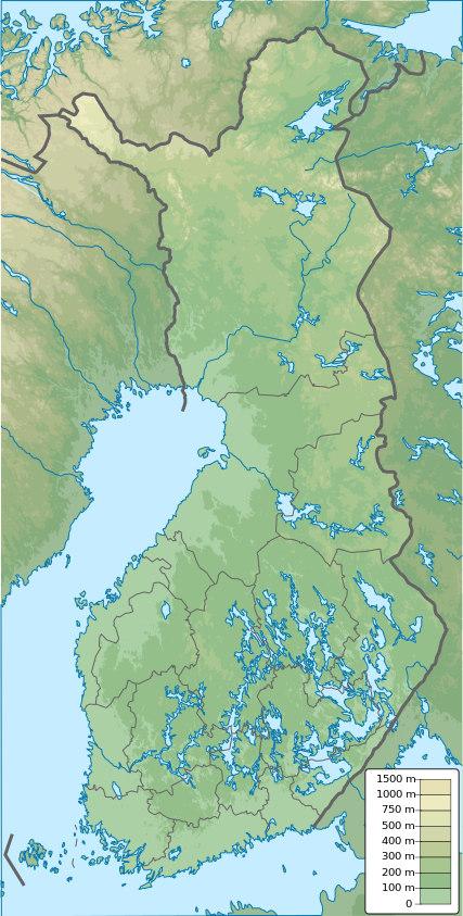
| Description | English: Finland physical map, parameters equal to File:Finland location map.svg |
| Date | |
| Source | Travail personnel |
| Auteur | Urutseg |
Conditions d’utilisation
| Moi, propriétaire des droits d’auteur sur cette œuvre, la place dans le domaine public. Ceci s'applique dans le monde entier. Dans certains pays, ceci peut ne pas être possible ; dans ce cas : J’accorde à toute personne le droit d’utiliser cette œuvre dans n’importe quel but, sans aucune condition, sauf celles requises par la loi. |
Historique du fichier
Cliquer sur une date et heure pour voir le fichier tel qu'il était à ce moment-là.
| Date et heure | Vignette | Dimensions | Utilisateur | Commentaire | |
|---|---|---|---|---|---|
| actuel | 26 janvier 2021 à 12:09 | | 427 × 843 (3,97 Mio) | Fenn-O-maniC | Updated regional borders as per https://asiointi.maanmittauslaitos.fi/karttapaikka/ |
| 25 novembre 2019 à 23:39 |  | 427 × 843 (3,99 Mio) | Pavouk | update border North_Ostrobothnia (+Vaala), delete Eastern Uusimaa, change border (Aland inside Finland, not out) | |
| 13 février 2011 à 13:54 |  | 427 × 843 (3,99 Mio) | Urutseg | {{Information |Description ={{en|1=Finland physical map, parameters equal to File:Finland location map.svg}} |Source ={{own}} |Author =Urutseg |Date =2011-02-13 |Permission = |other_versions = }} [[C |
Utilisation du fichier
Aucune page n’utilise ce fichier.
Usage global du fichier
Les autres wikis suivants utilisent ce fichier :
- Utilisation sur am.wikipedia.org
- Utilisation sur av.wikipedia.org
- Utilisation sur az.wikipedia.org
- Utilisation sur be.wikipedia.org
- Шаблон:На карце/Фінляндыя
- Сайма
- Інары
- Піеліс’ёкі
- Оўлуёкі
- Іякі
- Кокалан’ёкі
- Ільмен’ёкі
- Каяні (рака)
- Кеміякі
- Кокемяэн’ёкі
- Кюміякі
- Бодам
- Весіярві
- Вірмаярві
- Кейтэле
- Лапаярві
- Нясіярві
- Піелінен
- Оўлуярві
- Пяянэ
- Салпаўселькя
- Аланд
- Ваўчыная пячора
- Поркала
- Ханка (паўвостраў)
- Хайлуота
- Вантаа (рака)
- Нацыянальны парк Пяянэ
- Пюхяярві (Тамперэ)
- Utilisation sur bn.wikipedia.org
- Utilisation sur bs.wikipedia.org
- Utilisation sur ca.wikipedia.org
- Utilisation sur ceb.wikipedia.org
- Utilisation sur ce.wikipedia.org
Voir davantage sur l’utilisation globale de ce fichier.
Métadonnées
Explore the world

United states
New York

Japan
Tokyo

Singapore
Singapore
