
 Français
 Italiano
Taille de cet aperçu PNG pour ce fichier SVG : 800 × 533 pixels. Autres résolutions : 320 × 213 pixels | 640 × 427 pixels | 1 024 × 683 pixels | 1 280 × 853 pixels | 2 560 × 1 707 pixels | 1 200 × 800 pixels.
Fichier d’origine (Fichier SVG, nominalement de 1 200 × 800 pixels, taille : 3 kio)
Description
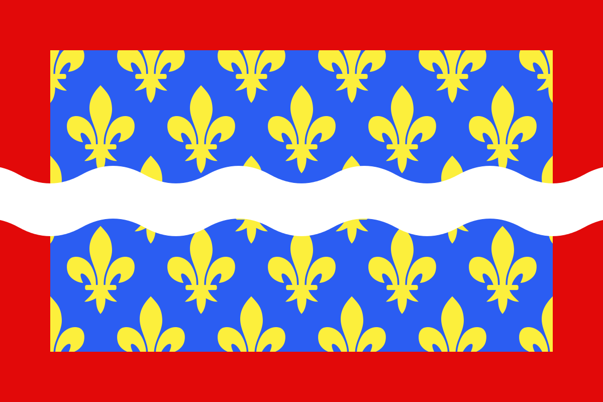
| Description | Brezhoneg: Banniel departamant ar Cher English: Flag of Cher Français : Drapeau du département du Cher Español: Banderas de Cher |
| Date | |
| Source | Travail personnel |
| Auteur | user:Spedona |
Conditions d’utilisation
Moi, en tant que détenteur des droits d’auteur sur cette œuvre, je la publie sous les licences suivantes :
 | Vous avez la permission de copier, distribuer et modifier ce document selon les termes de la GNU Free Documentation License version 1.2 ou toute version ultérieure publiée par la Free Software Foundation, sans sections inaltérables, sans texte de première page de couverture et sans texte de dernière page de couverture. Un exemplaire de la licence est inclus dans la section intitulée GNU Free Documentation License. |
| Ce fichier est disponible selon les termes de la licence Creative Commons Attribution – Partage dans les Mêmes Conditions 3.0 Non Transposé. | ||
| ||
| Ce bandeau de licence a été ajouté à ce fichier dans le cadre de la procédure de mise à jour des licences des images sous GFDL. |
Ce fichier est sous licence Creative Commons Attribution – Partage dans les Mêmes Conditions 2.5 Générique, 2.0 Générique et 1.0 Générique.
- Vous êtes libre :
- de partager – de copier, distribuer et transmettre cette œuvre
- d’adapter – de modifier cette œuvre
- Sous les conditions suivantes :
- paternité – Vous devez donner les informations appropriées concernant l'auteur, fournir un lien vers la licence et indiquer si des modifications ont été faites. Vous pouvez faire cela par tout moyen raisonnable, mais en aucune façon suggérant que l’auteur vous soutient ou approuve l’utilisation que vous en faites.
- partage à l’identique – Si vous modifiez, transformez ou vous basez sur cet élément, vous devez distribuer votre contribution sous une license identique ou compatible à celle de l’original.
Vous pouvez choisir l’une de ces licences.
Historique du fichier
Cliquer sur une date et heure pour voir le fichier tel qu'il était à ce moment-là.
| Date et heure | Vignette | Dimensions | Utilisateur | Commentaire | |
|---|---|---|---|---|---|
| actuel | 22 décembre 2012 à 09:43 | | 1 200 × 800 (3 kio) | Alkari | code cleanup/file size reduction |
| 29 novembre 2007 à 17:37 |  | 1 203 × 797 (110 kio) | Spedona | {{Information |Description={{en|Flag of Cher}} {{fr|Drapeau du département du Cher}} {{es|Banderas de Cher}} |Source=own work |Date=28 novembre 2007 |Author=user:Spedona |Permission=see below |other_versions= - }} {{self2|GFDL|cc-by-sa-2.5,2.0,1.0}} |
Utilisation du fichier
La page suivante utilise ce fichier :
Usage global du fichier
Les autres wikis suivants utilisent ce fichier :
- Utilisation sur an.wikipedia.org
- Utilisation sur ar.wikipedia.org
- Utilisation sur az.wikipedia.org
- Utilisation sur bg.wikipedia.org
- Utilisation sur br.wikipedia.org
- Utilisation sur ca.wikipedia.org
- Utilisation sur ceb.wikipedia.org
- Utilisation sur ce.wikipedia.org
- Utilisation sur cs.wikipedia.org
- Utilisation sur da.wikipedia.org
- Utilisation sur de.wikivoyage.org
- Utilisation sur el.wikipedia.org
- Utilisation sur en.wikipedia.org
- Demographics of France
- Cher (department)
- ISO 3166-2:FR
- Flags of the regions of France
- Timeline of the introduction of television in countries
- List of flags by color combination
- List of political and geographic subdivisions by total area from 5,000 to 20,000 square kilometers
- List of political and geographic subdivisions by total area (all)
- List of political and geographic subdivisions by total area from 7,000 to 10,000 square kilometers
- Timeline of the introduction of radio in countries
- User:Charles G. Delahaye/sandbox
- Template:Country data Cher
- User:Germenfer/sandbox5
- Utilisation sur es.wikipedia.org
- Cher (departamento)
- Anexo:Banderas de Francia
- Cantón de Baugy
- Cantón de Argent-sur-Sauldre
- Cantón de Bourges-5
- Cantón de Charenton-du-Cher
- Cantón de Châteauneuf-sur-Cher
- Cantón de Graçay
- Cantón de Henrichemont
- Cantón de La Chapelle-d'Angillon
- Cantón de Le Châtelet
- Cantón de Léré
- Cantón de Les Aix-d'Angillon
- Cantón de Levet
- Cantón de Lignières
- Cantón de Lury-sur-Arnon
- Cantón de Nérondes
- Cantón de Sancergues
Voir davantage sur l’utilisation globale de ce fichier.
Métadonnées
Explore the world

United states
New York

Japan
Tokyo

Singapore
Singapore
