
 Français
 Italiano
Fichier d’origine (Fichier SVG, nominalement de 1 162 × 773 pixels, taille : 643 kio)
Description
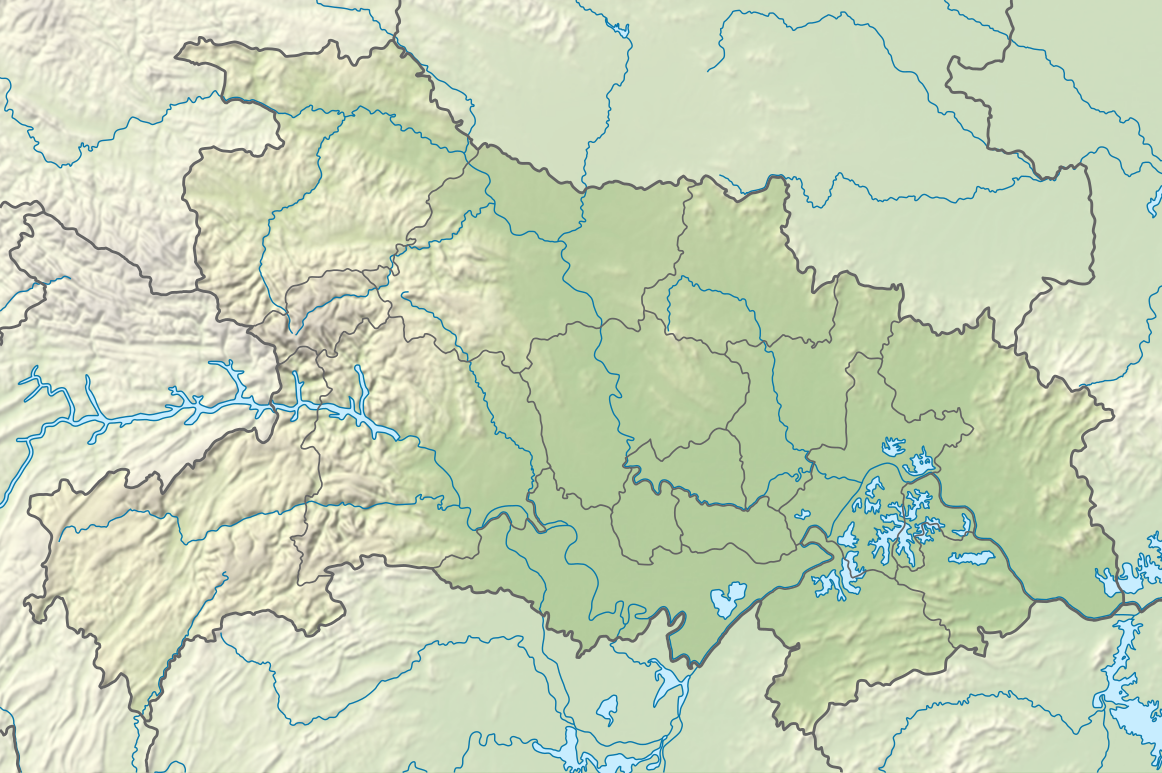
| Description | Deutsch: Positionskarte von Hubei, Volksrepublik China English: Location map of Hubei, People's Republic of China
| ||||||||||||
| Date | |||||||||||||
| Source | Travail personnel avec:
| ||||||||||||
| Auteur | NordNordWest | ||||||||||||
| Autres versions | | ||||||||||||

 | Cette carte a été créée ou améliorée dans le Kartenwerkstatt (Atelier cartographique allemand). Vous pouvez également y proposer des cartes à améliorer. |
Conditions d’utilisation
Usage de cette carte :

Pour un usage gratuit, je recommande de respecter les conditions suivantes de la licence :
1. Inclure mon nom comme indiqué ci-dessus : NordNordWest,
2. une copie ou l'adresse Internet (Identifiant Uniforme de Ressource) du contrat : https://creativecommons.org/licenses/by-sa/3.0/de/legalcode,
3. le titre de l’œuvre originale,
4. dans le cas d'une œuvre dérivée, indiquer les éléments identifiant l'utilisation de l’œuvre dite dérivée.
En cas de manquement aux conditions de la licence, les droits d'utilisation expirent automatiquement. Si vous avez des questions ou désirez des conditions différentes, merci de me contacter par courriel à l'adresse nnwest, ou sur ma page de discussion. ![]() t-online.de
t-online.de
- Vous êtes libre :
- de partager – de copier, distribuer et transmettre cette œuvre
- d’adapter – de modifier cette œuvre
- Sous les conditions suivantes :
- paternité – Vous devez donner les informations appropriées concernant l'auteur, fournir un lien vers la licence et indiquer si des modifications ont été faites. Vous pouvez faire cela par tout moyen raisonnable, mais en aucune façon suggérant que l’auteur vous soutient ou approuve l’utilisation que vous en faites.
- partage à l’identique – Si vous modifiez, transformez ou vous basez sur cet élément, vous devez distribuer votre contribution sous une license identique ou compatible à celle de l’original.

Historique du fichier
Cliquer sur une date et heure pour voir le fichier tel qu'il était à ce moment-là.
| Date et heure | Vignette | Dimensions | Utilisateur | Commentaire | |
|---|---|---|---|---|---|
| actuel | 2 mai 2024 à 20:18 | | 1 162 × 773 (643 kio) | NordNordWest | == {{int:filedesc}} == {{Information |Description= {{de|1=Positionskarte von Hubei, Volksrepublik China}} {{en|1=Location map of Hubei, People's Republic of China}} {{Location map series N |stretching=116 |top=33.5 |bottom=28.8 |left=108.2 |right=116.4 }} |Source={{Own using}} * United States National Imagery and Mapping Agency data * World Data Base II data * ETOPO1 data |Date=2024-05-02 |Author={{U|NordNordWest}} |Permission= |other_versions=<gallery>China Hubei adm location map.svg</galler... |
Utilisation du fichier
Aucune page n’utilise ce fichier.
Usage global du fichier
Les autres wikis suivants utilisent ce fichier :
- Utilisation sur de.wikipedia.org
- Utilisation sur en.wikipedia.org
- Three Gorges Dam
- Three Gorges
- Battle of Xiaoting
- Jingzhou
- Panlongcheng
- Battle of West Hubei
- Three Gorges Reservoir Region
- Shennong Stream
- Lü Meng's invasion of Jing Province
- Shayang County
- Hong Lake
- East Lake (Wuhan)
- Danjiangkou Reservoir
- Module:Location map/data/China Hubei/doc
- Longgan Lake
- Liangzi Lake
- South Lake (Wuhan)
- Yanjiahe Formation
- Tangxun Lake
- Module:Location map/data/China Hubei
- Module:Location map/data/Hubei
- Mount Mo
- Chang Lake (Hubei)
- Jingzhou Confucius Temple
- Utilisation sur es.wikipedia.org
- Utilisation sur fr.wikipedia.org
- Utilisation sur he.wikipedia.org
Voir davantage sur l’utilisation globale de ce fichier.
Métadonnées
Explore the world

United states
New York

Japan
Tokyo

Singapore
Singapore
