
 Français
 Italiano
Taille de cet aperçu : 800 × 571 pixels. Autres résolutions : 320 × 228 pixels | 640 × 457 pixels | 1 024 × 731 pixels | 1 280 × 914 pixels | 2 425 × 1 731 pixels.
Fichier d’origine (2 425 × 1 731 pixels, taille du fichier : 1,68 Mio, type MIME : image/jpeg)
Description
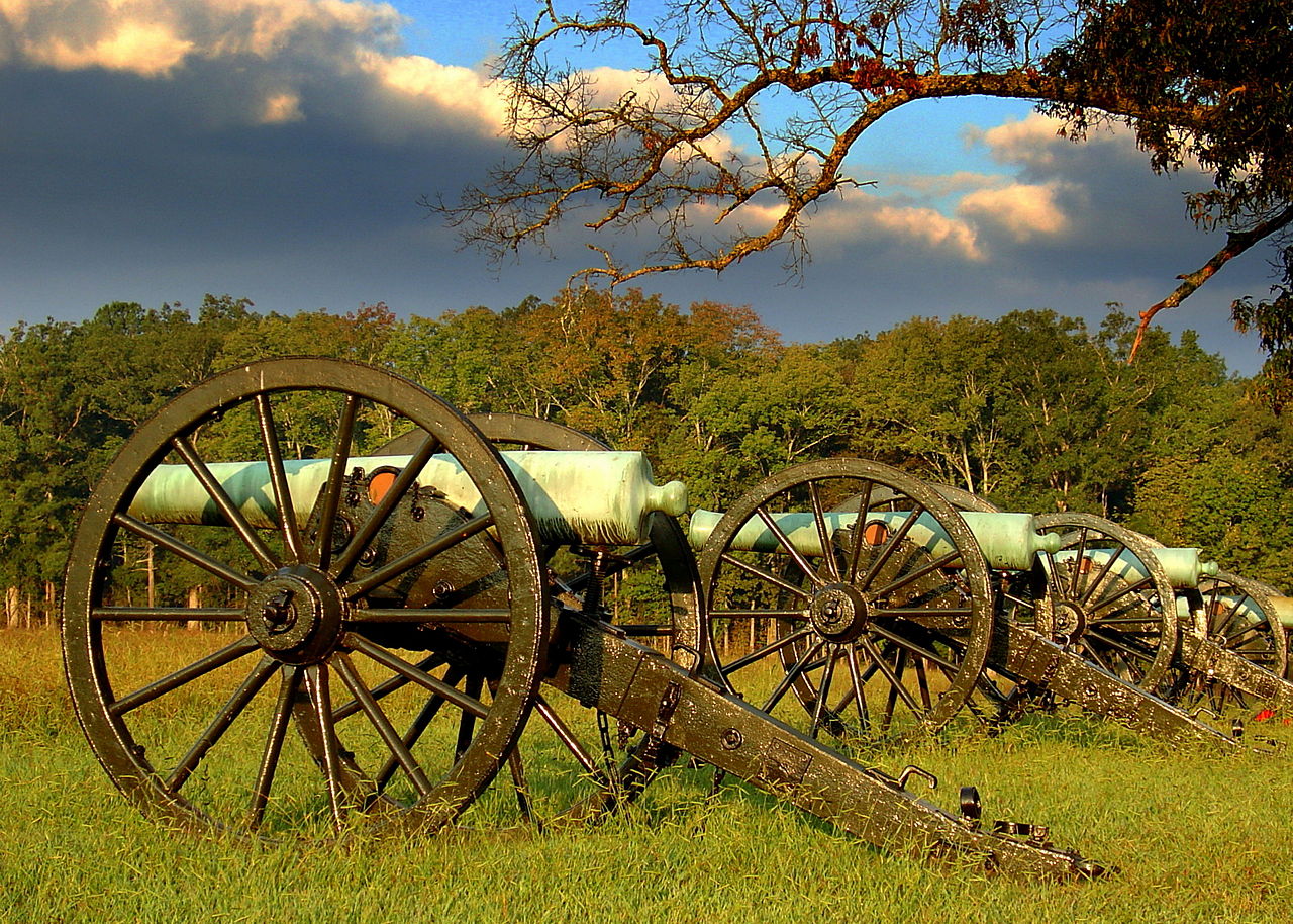
| Description | English: Blooms Louisiana Battery at Chickamauga and Chattanooga National Military Park
| ||
| Date | Prise le 12 septembre 2012, 08:11:27 | ||
| Source | Travail personnel | ||
| Auteur | Lhughesw5 |
| Lieu de la prise de vue | | Voir cet endroit et d’autres images sur : OpenStreetMap |
|---|
Conditions d’utilisation
Moi, en tant que détenteur des droits d’auteur sur cette œuvre, je la publie sous la licence suivante :
Ce fichier est disponible selon les termes de la licence Creative Commons Attribution – Partage dans les Mêmes Conditions 3.0 Non Transposé.
- Vous êtes libre :
- de partager – de copier, distribuer et transmettre cette œuvre
- d’adapter – de modifier cette œuvre
- Sous les conditions suivantes :
- paternité – Vous devez donner les informations appropriées concernant l'auteur, fournir un lien vers la licence et indiquer si des modifications ont été faites. Vous pouvez faire cela par tout moyen raisonnable, mais en aucune façon suggérant que l’auteur vous soutient ou approuve l’utilisation que vous en faites.
- partage à l’identique – Si vous modifiez, transformez ou vous basez sur cet élément, vous devez distribuer votre contribution sous une license identique ou compatible à celle de l’original.
 | Cette image a été versée dans le cadre de Wiki Loves Monuments 2012.
|  |
Cette image a été promue au rang d'image de qualité d'après les critères du Guide des images.
|
Historique du fichier
Cliquer sur une date et heure pour voir le fichier tel qu'il était à ce moment-là.
| Date et heure | Vignette | Dimensions | Utilisateur | Commentaire | |
|---|---|---|---|---|---|
| actuel | 26 novembre 2012 à 23:26 | | 2 425 × 1 731 (1,68 Mio) | Lhughesw5 | Reverted to version as of 01:51, 23 September 2012 |
| 23 novembre 2012 à 09:24 |  | 2 425 × 1 731 (4,07 Mio) | Iifar | sky denoising plus minor sharpening | |
| 23 septembre 2012 à 01:51 |  | 2 425 × 1 731 (1,68 Mio) | Lhughesw5 | User created page with UploadWizard |
Utilisation du fichier
Aucune page n’utilise ce fichier.
Usage global du fichier
Les autres wikis suivants utilisent ce fichier :
- Utilisation sur ceb.wikipedia.org
- Utilisation sur de.wikipedia.org
- Utilisation sur en.wikipedia.org
- Utilisation sur en.wikivoyage.org
- Utilisation sur fr.wikipedia.org
- Parc national des Great Smoky Mountains
- Sentier des Appalaches
- Big South Fork National River and Recreation Area
- Obed Wild and Scenic River
- Champ de bataille national de la Stones River
- Cumberland Gap National Historical Park
- Natchez Trace Trail
- Overmountain Victory National Historic Trail
- Manhattan Project National Historical Park
- Modèle:Palette Unités du National Park System au Tennessee
- Champ de bataille national de Fort Donelson
- Andrew Johnson National Historic Site
- Natchez Trace Parkway
- Chickamauga and Chattanooga National Military Park
- Shiloh National Military Park
- Trail of Tears National Historic Trail
- Utilisation sur it.wikipedia.org
- Utilisation sur www.wikidata.org
Métadonnées
Explore the world

United states
New York

Japan
Tokyo

Singapore
Singapore
