
 Français
 Italiano
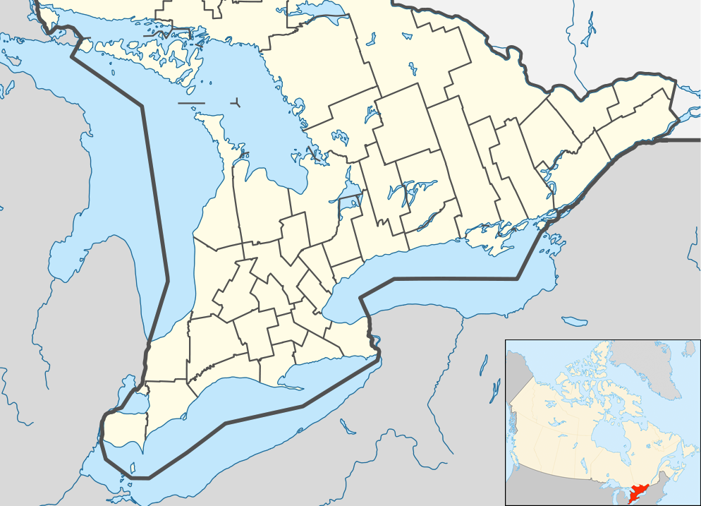
Taille de cet aperçu : 800 × 577 pixels. Autres résolutions : 320 × 231 pixels | 640 × 462 pixels | 994 × 717 pixels.
Fichier d’origine (994 × 717 pixels, taille du fichier : 296 kio, type MIME : image/png)
Description
| Description | English: Location map of Southern Ontario, Canada. Equirectangular projection, N/S stretching 155%. Geographic limits of the map:
Русский: Южная Онтарио Українська: Південне Онтаріо |
| Date | |
| Source | File:Canada Ontario location map 2.svg |
| Auteur | User:NordNordWest |
| Autres versions |
|


Conditions d’utilisation
Moi, en tant que détenteur des droits d’auteur sur cette œuvre, je la publie sous la licence suivante :
Ce fichier est disponible selon les termes de la licence Creative Commons Attribution – Partage dans les Mêmes Conditions 3.0 Non Transposé.
- Vous êtes libre :
- de partager – de copier, distribuer et transmettre cette œuvre
- d’adapter – de modifier cette œuvre
- Sous les conditions suivantes :
- paternité – Vous devez donner les informations appropriées concernant l'auteur, fournir un lien vers la licence et indiquer si des modifications ont été faites. Vous pouvez faire cela par tout moyen raisonnable, mais en aucune façon suggérant que l’auteur vous soutient ou approuve l’utilisation que vous en faites.
- partage à l’identique – Si vous modifiez, transformez ou vous basez sur cet élément, vous devez distribuer votre contribution sous une license identique ou compatible à celle de l’original.
Historique du fichier
Cliquer sur une date et heure pour voir le fichier tel qu'il était à ce moment-là.
| Date et heure | Vignette | Dimensions | Utilisateur | Commentaire | |
|---|---|---|---|---|---|
| actuel | 20 juillet 2012 à 05:47 | | 994 × 717 (296 kio) | 117Avenue | slight fix |
| 20 juillet 2012 à 05:43 |  | 994 × 717 (296 kio) | 117Avenue | {{Information |Description ={{en|1=Location map of Southern Ontario, Canada. Equirectangular projection, N/S stretching 155%. Geographic limits of the map: * N: 46.4° N * S: 41.4° N * W: 84.7° W * E: 74.0°... |
Utilisation du fichier
Aucune page n’utilise ce fichier.
Usage global du fichier
Les autres wikis suivants utilisent ce fichier :
- Utilisation sur ar.wikipedia.org
- Utilisation sur azb.wikipedia.org
- Utilisation sur ban.wikipedia.org
- Utilisation sur bn.wikipedia.org
- Utilisation sur bs.wikipedia.org
- Utilisation sur ceb.wikipedia.org
- Utilisation sur ckb.wikipedia.org
- Utilisation sur cs.wikipedia.org
- Utilisation sur en.wikipedia.org
- Bay of Quinte
- Hamilton, Ontario
- Windsor, Ontario
- Niagara Falls
- Waterloo, Ontario
- Sarnia
- Perth, Ontario
- Kitchener, Ontario
- Point Pelee National Park
- Kingston, Ontario
- Brampton
- Caledon, Ontario
- Prescott, Ontario
- Leamington, Ontario
- Cornwall, Ontario
- Guelph
- Aurora, Ontario
- Barrie
- Belleville, Ontario
- Brantford
- Brockville
- Burlington, Ontario
- Cambridge, Ontario
- Lindsay, Ontario
- Markham, Ontario
- Newmarket, Ontario
Voir davantage sur l’utilisation globale de ce fichier.
Métadonnées
Explore the world

United states
New York

Japan
Tokyo

Singapore
Singapore
