
 Français
 Italiano
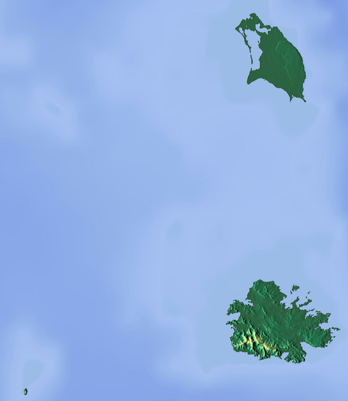
Taille de cet aperçu : 521 × 599 pixels. Autres résolutions : 209 × 240 pixels | 417 × 480 pixels | 668 × 768 pixels | 1 111 × 1 278 pixels.
Fichier d’origine (1 111 × 1 278 pixels, taille du fichier : 300 kio, type MIME : image/png)
Description
| Description | Deutsch: Positionskarte von Antigua und Barbuda. Geographische Begrenzungen der Karte: English: Location map of Antigua and Barbuda. Geographic limits of the map:
|
| Date | |
| Source | Travail personnel (backgroung : http://www.maps-for-free.com) |
| Auteur | Dr Brains |
Conditions d’utilisation
Moi, en tant que détenteur des droits d’auteur sur cette œuvre, je la publie sous les licences suivantes :
 | Vous avez la permission de copier, distribuer et modifier ce document selon les termes de la GNU Free Documentation License version 1.2 publiée par la Free Software Foundation, sans sections inaltérables, sans texte de première page de couverture et sans texte de dernière page de couverture. Un exemplaire de la licence est inclus dans la section intitulée GNU Free Documentation License. | 1.2 seulement |
| | Vous avez la permission de copier, distribuer et modifier ce document selon les termes de la GNU Free Documentation License version 1.3 ou toute version ultérieure publiée par la Free Software Foundation, sans sections inaltérables, sans texte de première page de couverture et sans texte de dernière page de couverture. Un exemplaire de la licence est inclus dans la section intitulée GNU Free Documentation License.
|
Vous pouvez choisir l’une de ces licences.
Historique du fichier
Cliquer sur une date et heure pour voir le fichier tel qu'il était à ce moment-là.
| Date et heure | Vignette | Dimensions | Utilisateur | Commentaire | |
|---|---|---|---|---|---|
| actuel | 13 juin 2012 à 16:46 | | 1 111 × 1 278 (300 kio) | Dr Brains |
Utilisation du fichier
Aucune page n’utilise ce fichier.
Usage global du fichier
Les autres wikis suivants utilisent ce fichier :
- Utilisation sur ar.wikipedia.org
- Utilisation sur ast.wikipedia.org
- Utilisation sur be.wikipedia.org
- Utilisation sur bg.wikipedia.org
- Utilisation sur bn.wikipedia.org
- Utilisation sur bs.wikipedia.org
- Utilisation sur ceb.wikipedia.org
- Utilisation sur cs.wikipedia.org
- Utilisation sur el.wikipedia.org
- Utilisation sur en.wikipedia.org
- St. John's, Antigua and Barbuda
- Redonda
- Antigua
- Prickly Pear Island
- Great Bird Island (Antigua and Barbuda)
- Crump Island
- Guiana Island
- Long Island (Antigua and Barbuda)
- Green Island (Antigua and Barbuda)
- Boggy Peak
- Codrington Lagoon
- Pelican Island (Antigua and Barbuda)
- Gravenor Bay
- McKinnon's Pond
- Module:Location map/data/Antigua and Barbuda/doc
- Antigua Formation
- Central Plain Group
- Highlands Formation
- List of fossiliferous stratigraphic units in the Caribbean
- Codrington Island
- Hell's Gate Island
- Maiden Island (Antigua and Barbuda)
- 1974 Lesser Antilles earthquake
- Module:Location map/data/Antigua and Barbuda
- User:Ty654/List of earthquakes from 1950-1999 exceeding magnitude 7+
- User:Ty654/List of earthquakes from 1960-1964 exceeding magnitude 6+
- Antigua Naval Dockyard and Related Archaeological Sites
- Utilisation sur eo.wikipedia.org
Voir davantage sur l’utilisation globale de ce fichier.
Métadonnées
Explore the world

United states
New York

Japan
Tokyo

Singapore
Singapore
