
 Français
 Italiano
Taille de cet aperçu PNG pour ce fichier SVG : 682 × 600 pixels. Autres résolutions : 273 × 240 pixels | 546 × 480 pixels | 873 × 768 pixels | 1 165 × 1 024 pixels | 2 329 × 2 048 pixels | 1 425 × 1 253 pixels.
Fichier d’origine (Fichier SVG, nominalement de 1 425 × 1 253 pixels, taille : 1,84 Mio)
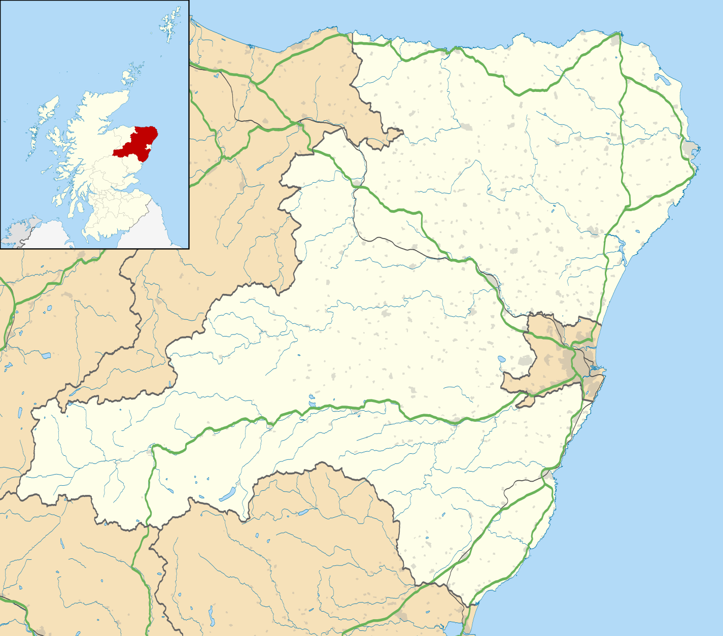
| Description | Blank map of Aberdeenshire, UK with the following information shown:
Equirectangular map projection on WGS 84 datum, with N/S stretched 180% Geographic limits:
|
| Date | |
| Source |
|
| Auteur | Nilfanion, created using Ordnance Survey data |
| Autorisation (Réutilisation de ce fichier) | Ce fichier est disponible selon les termes de la licence Creative Commons Attribution – Partage dans les Mêmes Conditions 3.0 Non Transposé. Attribution: Contains Ordnance Survey data © Crown copyright and database right
|
| Autres versions | File:Aberdeenshire UK blank map.svg - Blank map |
Historique du fichier
Cliquer sur une date et heure pour voir le fichier tel qu'il était à ce moment-là.
| Date et heure | Vignette | Dimensions | Utilisateur | Commentaire | |
|---|---|---|---|---|---|
| actuel | 26 septembre 2010 à 19:59 | | 1 425 × 1 253 (1,84 Mio) | Nilfanion | {{Information |Description=Blank map of Aberdeenshire, UK with the following information shown: *Administrative borders *Coastline, lakes and rivers *Roads and railways *Urban areas Equirectangular map projection on WGS 84 datum, with |
Utilisation du fichier
Aucune page n’utilise ce fichier.
Usage global du fichier
Les autres wikis suivants utilisent ce fichier :
- Utilisation sur ar.wikipedia.org
- Utilisation sur az.wikipedia.org
- Utilisation sur ba.wikipedia.org
- Utilisation sur bg.wikipedia.org
- Utilisation sur ceb.wikipedia.org
- Utilisation sur de.wikipedia.org
- Utilisation sur en.wikipedia.org
- Aberdeenshire
- Balmoral Castle
- List of monastic houses in Scotland
- Stonehaven
- Fraserburgh
- Battle of Lumphanan
- Huntly
- Portsoy
- Inverurie
- Banchory
- Ballater
- Bellabeg
- Dunnottar Castle
- Braemar Castle
- Drum Castle
- Crathes Castle
- Kildrummy Castle
- Huntly Castle
- New Slains Castle
- Westhill, Aberdeenshire
- Rosehearty
- Braemar
- Fettercairn
- Tarland
- Ellon, Aberdeenshire
- Aboyne
- Aberchirder
- Newburgh, Aberdeenshire
- Cruden Bay
- Turriff
- Fyvie
- Alford, Aberdeenshire
- Kintore, Aberdeenshire
- Kemnay, Aberdeenshire
Voir davantage sur l’utilisation globale de ce fichier.
Métadonnées
Explore the world

United states
New York

Japan
Tokyo

Singapore
Singapore
