
 Français
 Italiano
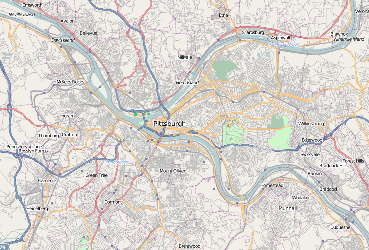
No disponible a mayor resolución.
Pittsburgh_locator_map.png (744 × 504 píxeles; tamaño de archivo: 505 kB; tipo MIME: image/png)
Éste es un archivo de Wikimedia Commons, un depósito de contenido libre hospedado por la Fundación Wikimedia
Más abajo se reproduce su página de descripción con la información sobre su origen y licencia.
Resumen
| Descripción | English: A map of the city of Pittsburgh and its surrounding areas | ||
| Fecha | |||
| Fuente | Base map generated by OpenStreetMap.org Dudemanfellabra | ||
| Autor | Open Street Map contributors | ||
| Permiso (Reutilización de este archivo) | OpenStreetMap license | ||
| Otras versiones |
|

Licencia
Este archivo se encuentra bajo la licencia Atribución-CompartirIgual 2.0 Genérica de Creative Commons.
- Eres libre:
- de compartir – de copiar, distribuir y transmitir el trabajo
- de remezclar – de adaptar el trabajo
- Bajo las siguientes condiciones:
- atribución – Debes otorgar el crédito correspondiente, proporcionar un enlace a la licencia e indicar si realizaste algún cambio. Puedes hacerlo de cualquier manera razonable pero no de manera que sugiera que el licenciante te respalda a ti o al uso que hagas del trabajo.
- compartir igual – En caso de mezclar, transformar o modificar este trabajo, deberás distribuir el trabajo resultante bajo la misma licencia o una compatible como el original.
Historial del archivo
Haz clic sobre una fecha y hora para ver el archivo tal como apareció en ese momento.
| Fecha y hora | Miniatura | Dimensiones | Usuario | Comentario | |
|---|---|---|---|---|---|
| actual | 04:07 6 ene 2010 | | 744 × 504 (505 kB) | Dudemanfellabra | {{Information |Description={{en|1=A map of the city of Pittsburgh and its surrounding areas}} |Source={{own}} |Author=Dudemanfellabra |Date=2010-01-05 |Permission= |other_versions= }} Category:Maps of Pittsburgh |
Usos del archivo
No hay páginas que enlacen a este archivo.
Uso global del archivo
Las wikis siguientes utilizan este archivo:
- Uso en ar.wikipedia.org
- Uso en ceb.wikipedia.org
- Uso en eo.wikipedia.org
- Uso en fa.wikipedia.org
- Uso en fr.wikipedia.org
- Fort Duquesne
- PNC Park
- Three Rivers Stadium
- Petersen Events Center
- Musée Carnegie d'histoire naturelle
- The Andy Warhol Museum
- The Carlyle (Pittsburgh)
- City View
- Carnegie Museum of Art
- Fort Pitt (Pittsburgh)
- Modèle:Géolocalisation/Pittsburgh
- Oliver Building
- Église du Cœur-Immaculé-de-Marie de Pittsburgh
- Module:Carte/données/pittsburgh
- Frick Building
- Fusillade dans une synagogue de Pittsburgh
- Carnegie Science Center
- USS Requin (SS-481)
- Uso en pl.wikipedia.org
- Bitwa o Fort Duquesne
- Uniwersytet Pittsburski
- Civic Arena (Pittsburgh)
- Carnegie Mellon University
- U.S. Steel Tower
- One Mellon Center
- PPG Place
- Highmark Place
- Oxford Centre
- Carnegie Museum of Art
- Heinz Field
- PNC Park
- Konsulat RP w Pittsburghu
- Moduł:Mapa/dane/Pittsburgh
- PPG Paints Arena
- PPG Industries
- Uso en pl.wikibooks.org
- Uso en war.wikipedia.org
Explore the world

United states
New York

Japan
Tokyo

Singapore
Singapore
