
 Français
 Italiano
Size of this preview: 677 × 600 pixels. Other resolutions: 271 × 240 pixels | 542 × 480 pixels | 867 × 768 pixels | 1,156 × 1,024 pixels | 1,472 × 1,304 pixels.
Original file (1,472 × 1,304 pixels, file size: 232 KB, MIME type: image/jpeg)
This is a file from the Wikimedia Commons and may be used by other projects. Information from its description page there is shown below. Commons is a freely licensed media file repository. |
Summary
| Camera location | | View this and other nearby images on: OpenStreetMap |
|---|
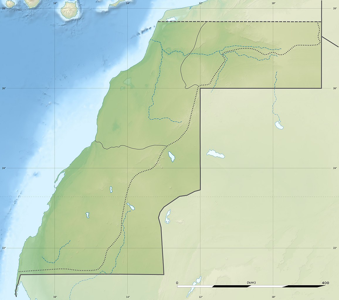
| Description | Deutsch: Relief Positionskarte der Westsahara English: Blank physical map of Western Sahara, for geo-location purposes. Français : Carte physique vierge du Sahara occidental, destinée à la géolocalisation. Scale: 1:3,720,000 (precision: 930 m)
Geographic limits of the map:
| ||
| Date | |||
| Source | Own work
| ||
| Author | Eric Gaba (Sting - fr:Sting) and user:NordNordWest | ||
| Permission (Reusing this file) |
| ||
| Other versions |
|


 | This map has been made or improved in the German Kartenwerkstatt (Map Lab). You can propose maps to improve as well. |
Licensing
I, the copyright holder of this work, hereby publish it under the following licenses:
 | Permission is granted to copy, distribute and/or modify this document under the terms of the GNU Free Documentation License, Version 1.2 or any later version published by the Free Software Foundation; with no Invariant Sections, no Front-Cover Texts, and no Back-Cover Texts. A copy of the license is included in the section entitled GNU Free Documentation License. |
This file is licensed under the Creative Commons Attribution 3.0 Unported license.
- You are free:
- to share – to copy, distribute and transmit the work
- to remix – to adapt the work
- Under the following conditions:
- attribution – You must give appropriate credit, provide a link to the license, and indicate if changes were made. You may do so in any reasonable manner, but not in any way that suggests the licensor endorses you or your use.
You may select the license of your choice.
File history
Click on a date/time to view the file as it appeared at that time.
| Date/Time | Thumbnail | Dimensions | User | Comment | |
|---|---|---|---|---|---|
| current | 13:13, 19 July 2010 | | 1,472 × 1,304 (232 KB) | Sting | Color profile |
| 19:33, 22 November 2009 |  | 1,472 × 1,304 (230 KB) | Sting | == {{int:filedesc}} == {{Location|24|27|00|N|12|51|00|W|scale:3000000}} <br/> {{Information |Description={{de|Relief Positionskarte der Westsahara}} {{en|Blank physical map of Western Sahara, for geo-location purp |
File usage
There are no pages that use this file.
Global file usage
The following other wikis use this file:
- Usage on ar.wikipedia.org
- Usage on arz.wikipedia.org
- Usage on ast.wikipedia.org
- Usage on azb.wikipedia.org
- Usage on be.wikipedia.org
- Usage on bg.wikipedia.org
- Usage on ca.wikipedia.org
- Usage on ceb.wikipedia.org
- Usage on cs.wikipedia.org
- Usage on da.wikipedia.org
- Usage on de.wikipedia.org
- Usage on de.wikivoyage.org
- Usage on el.wikipedia.org
- Usage on en.wikipedia.org
View more global usage of this file.
Metadata
Explore the world

United states
New York

Japan
Tokyo

Singapore
Singapore
