
 Français
 Italiano
Size of this PNG preview of this SVG file: 502 × 600 pixels. Other resolutions: 201 × 240 pixels | 402 × 480 pixels | 643 × 768 pixels | 857 × 1,024 pixels | 1,714 × 2,048 pixels | 1,047 × 1,251 pixels.
Original file (SVG file, nominally 1,047 × 1,251 pixels, file size: 146 KB)
This is a file from the Wikimedia Commons and may be used by other projects. Information from its description page there is shown below. Commons is a freely licensed media file repository. |
Summary
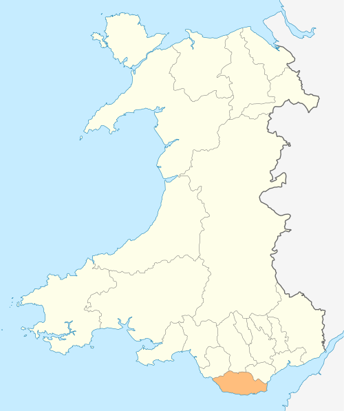
| Description | Deutsch: Lagekarte von Vale of Glamorgan in Wales English: Locator map of Vale of Glamorgan in Wales |
| Date | |
| Source | Own work |
| Author | NordNordWest |
| Permission (Reusing this file) | I, the copyright holder of this work, hereby publish it under the following license: This file is licensed under the Creative Commons Attribution-Share Alike 3.0 Unported license.
|
 | This map has been made or improved in the German Kartenwerkstatt (Map Lab). You can propose maps to improve as well. |
File history
Click on a date/time to view the file as it appeared at that time.
| Date/Time | Thumbnail | Dimensions | User | Comment | |
|---|---|---|---|---|---|
| current | 19:00, 4 May 2010 | | 1,047 × 1,251 (146 KB) | NordNordWest | {{int:filedesc}} {{Information |Description= {{de|Lagekarte von Vale of Glamorgan in Wales}} {{en|Locator map of Vale of Glamorgan in Wales}} |Source={{Own}} |Date=2010-05-04 |Author={{U|NordNordWest}} |Permission={{self|cc-by-sa-3.0}} |other_versions= } |
File usage
There are no pages that use this file.
Global file usage
The following other wikis use this file:
- Usage on en.wikipedia.org
- Vale of Glamorgan
- Cowbridge
- Wick, Vale of Glamorgan
- Penarth
- Llantwit Major
- Ewenny
- Ogmore, Vale of Glamorgan
- Breaksea Point
- Category:Vale of Glamorgan
- MOD St Athan
- Cosmeston Medieval Village
- Colwinston
- Sully, Vale of Glamorgan
- Ogmore Castle
- Lavernock
- Rhoose
- Barry, Vale of Glamorgan
- Cardiff Airport
- Aberthin
- Ogmore-by-Sea
- Peterston-super-Ely
- Rhoose Point
- St Athan
- Wenvoe transmitting station
- Dinas Powys
- Culverhouse Cross
- Corntown
- St Brides Major
- Bonvilston
- Southerndown
- Boverton
- Llandough, Penarth
- Porthkerry
- Gileston
- Wenvoe
- Schwyll Aquifer
- Romilly, Vale of Glamorgan
- Gladstone, Vale of Glamorgan
- Aberthaw
- Aberthaw power stations
- Holton, Vale of Glamorgan
- Cogan, Vale of Glamorgan
- Penarth Head
- Cold Knap
- Cosmeston Lakes Country Park
- Llansannor
- Cadoxton, Vale of Glamorgan
- St Andrews Major
- Wenvoe Castle Golf Club
- Penmark
View more global usage of this file.
Explore the world

United states
New York

Japan
Tokyo

Singapore
Singapore
