
 Français
 Italiano
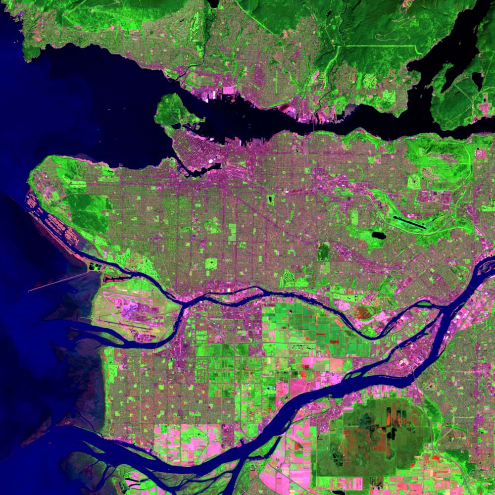
Size of this preview: 600 × 600 pixels. Other resolutions: 240 × 240 pixels | 480 × 480 pixels | 1,000 × 1,000 pixels.
Original file (1,000 × 1,000 pixels, file size: 231 KB, MIME type: image/jpeg)
This is a file from the Wikimedia Commons and may be used by other projects. Information from its description page there is shown below. Commons is a freely licensed media file repository. |
| Description | English: Landsat image of Vancouver, British Columbia. This image is a work of the National Oceanic and Atmospheric Administration, taken or made during the course of an employee's official duties. As works of the U.S. federal government, all NOAA images are in the public domain. |
| Source | Own work |
| Author | User:Voyager |
| Other versions | Derivative works of this file: Bodies of water in Vancouver.jpg - |
This image is in the public domain because it contains materials that originally came from the U.S. National Oceanic and Atmospheric Administration, taken or made as part of an employee's official duties.
|
File history
Click on a date/time to view the file as it appeared at that time.
| Date/Time | Thumbnail | Dimensions | User | Comment | |
|---|---|---|---|---|---|
| current | 13:16, 27 January 2007 | | 1,000 × 1,000 (231 KB) | Voyager | Landsat image of Vancouver, British Columbia. This image is a work of the National Oceanic and Atmospheric Administration, taken or made during the course of an employee's official duties. As works of the U.S. federal government, all NOAA images are in t |
File usage
There are no pages that use this file.
Global file usage
The following other wikis use this file:
- Usage on cs.wikipedia.org
- Usage on de.wikipedia.org
- Usage on en.wikipedia.org
- Vancouver
- Talk:Gordon Campbell (Canadian politician)
- Fraser River
- Talk:Museum of Anthropology at UBC
- Talk:Surrey, British Columbia
- Talk:2010 Winter Olympics
- Stanley Park
- Mount Seymour
- Gastown
- Talk:Margaret Trudeau
- Landsat program
- Vancouver Art Gallery
- Talk:Vancouver
- Hotel Vancouver
- Talk:Coquitlam
- Granville Island
- Talk:Downtown Eastside
- Lions Gate Bridge
- Waterfront station (Vancouver)
- Chinatown, Vancouver
- Talk:Burnaby
- Rogers Arena
- Pacific Coliseum
- BC Place
- Talk:Laurence J. Peter
- Marine Building
- Queensborough Bridge
- Alex Fraser Bridge
- Commercial Drive, Vancouver
- Burrard Inlet
- Burrard Peninsula
- Talk:New Westminster
- Wikipedia:Canada collaboration
- Cypress Mountain Ski Area
- Talk:North Vancouver
- Talk:Ironworkers Memorial Second Narrows Crossing
- Talk:Canada Line
- Talk:North Vancouver (district municipality)
- Punjabi Market, Vancouver
- Talk:CHAN-DT
- Vancouver Aquarium
- Talk:Collingwood School
- Talk:Mike Harcourt
- Talk:White Rock, British Columbia
- List of tallest buildings in Vancouver
- Talk:List of tallest buildings in Vancouver
View more global usage of this file.
Metadata
Explore the world

United states
New York

Japan
Tokyo

Singapore
Singapore
