
 Français
 Italiano
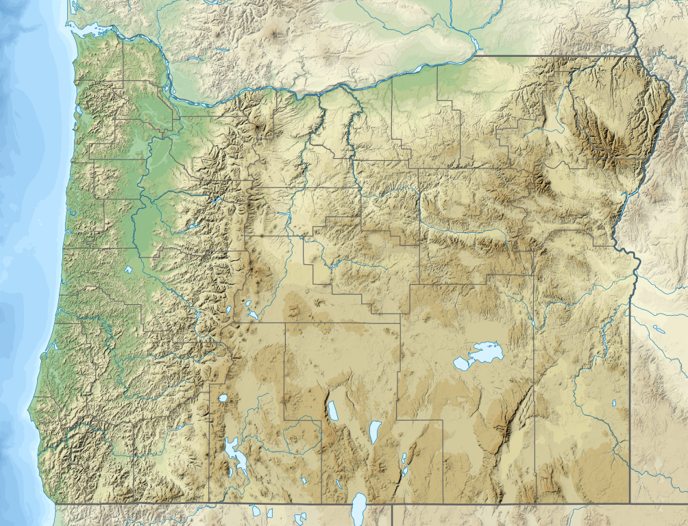
Size of this PNG preview of this SVG file: 784 × 600 pixels. Other resolutions: 314 × 240 pixels | 628 × 480 pixels | 1,004 × 768 pixels | 1,280 × 979 pixels | 2,560 × 1,958 pixels | 1,501 × 1,148 pixels.
Original file (SVG file, nominally 1,501 × 1,148 pixels, file size: 4.8 MB)
This is a file from the Wikimedia Commons and may be used by other projects. Information from its description page there is shown below. Commons is a freely licensed media file repository. |
Summary
| Description | |
| Date | |
| Source | Own work
|
| Author | SANtosito |
| Other versions |  |
Licensing
I, the copyright holder of this work, hereby publish it under the following license:
This file is licensed under the Creative Commons Attribution-Share Alike 4.0 International license.
- You are free:
- to share – to copy, distribute and transmit the work
- to remix – to adapt the work
- Under the following conditions:
- attribution – You must give appropriate credit, provide a link to the license, and indicate if changes were made. You may do so in any reasonable manner, but not in any way that suggests the licensor endorses you or your use.
- share alike – If you remix, transform, or build upon the material, you must distribute your contributions under the same or compatible license as the original.
File history
Click on a date/time to view the file as it appeared at that time.
| Date/Time | Thumbnail | Dimensions | User | Comment | |
|---|---|---|---|---|---|
| current | 22:04, 1 February 2021 | | 1,501 × 1,148 (4.8 MB) | SANtosito | Uploaded own work with UploadWizard |
File usage
There are no pages that use this file.
Global file usage
The following other wikis use this file:
- Usage on bn.wikipedia.org
- Usage on ca.wikipedia.org
- Usage on ce.wikipedia.org
- Usage on de.wikipedia.org
- Mount Hood
- Kap Meares
- Crater Lake
- Youngs Bay
- Nehalem Bay
- Nestucca Bay
- Steens Mountain
- Tenasillahe Island
- Detroit Lake (Oregon)
- Multnomah Falls
- Mount Jefferson (Oregon)
- Upper Klamath Lake
- Haystack Rock
- Bonneville Dam
- Mount Thielsen
- Three Sisters (Oregon)
- Broken Top
- Tumalo Mountain
- Mount Bachelor
- Mount McLoughlin
- Siskiyou Mountains
- Aspen Butte
- John-Day-Talsperre
- Mount Ashland
- Vorlage:Positionskarte USA Oregon
- Mount Scott
- Hells Canyon
- Wallowa Mountains
- Summer Lake (Oregon)
- Big Hole (Vulkan)
- Hole-in-the-Ground
- Fort Rock Basin
- Owyhee-Talsperre
- Hart Mountain
- Fish Lake (Jackson County, Oregon)
- Fourmile Lake
- Yaquina Head
- Yaquina Bay State Recreation Site
- Belknap Crater
- Smith Rock State Park
- Ecola State Park
- The Cove Palisades State Park
- Peter Skene Ogden State Scenic Viewpoint
- Fort Stevens State Park
- Sunset Bay State Park
View more global usage of this file.
Metadata
Explore the world

United states
New York

Japan
Tokyo

Singapore
Singapore
