
 Français
 Italiano
Original file (SVG file, nominally 1,441 × 935 pixels, file size: 31 KB)
This is a file from the Wikimedia Commons and may be used by other projects. Information from its description page there is shown below. Commons is a freely licensed media file repository. |
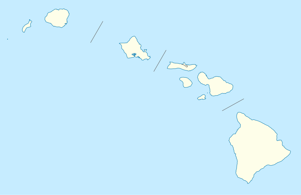
| Description | Quadratische Plattkarte, N-S-Streckung 107 %. Geographische Begrenzung der Karte:
Equirectangular projection, N/S stretching 107 %. Geographic limits of the map:
| |
| Date | 09-06-2009 | |
| Source | own work, using
| |
| Author | NordNordWest | |
| Permission (Reusing this file) |
This file is licensed under the Creative Commons Attribution-Share Alike 3.0 Germany license.
 This file is licensed under the Creative Commons Attribution-Share Alike 3.0 Germany license.
| |
| Other versions |
Derivative works of this file: | |
| SVG development | This vector image was created with Inkscape, or with something else. |


 | This map has been made or improved in the German Kartenwerkstatt (Map Lab). You can propose maps to improve as well. |
File history
Click on a date/time to view the file as it appeared at that time.
| Date/Time | Thumbnail | Dimensions | User | Comment | |
|---|---|---|---|---|---|
| current | 18:36, 13 June 2009 | | 1,441 × 935 (31 KB) | NordNordWest | {{Information |Description= {{de|Positionskarte von Hawaii, USA}} Quadratische Plattkarte, N-S-Streckung 107 %. Geographische Begrenzung der Karte: * N: 22.4° N * S: 18.7° N * W: 160.7° W * O: 154.6° W {{en|Location map of [ |
File usage
There are no pages that use this file.
Global file usage
The following other wikis use this file:
- Usage on af.wikipedia.org
- Usage on an.wikipedia.org
- Usage on ar.wikipedia.org
- Usage on ast.wikipedia.org
- Archipiélagu de Ḥawai
- Honolulu
- Sablera Lanikai
- Oahu
- Waikiki
- Haleakala
- Mauna Loa
- Observatorios de Mauna Kea
- Cadena de montes somarinos Ḥawai-Emperador
- Mauna Kea
- Pearl Harbor
- Módulu:Mapa de llocalización/datos/Ḥawai
- Módulu:Mapa de llocalización/datos/Ḥawai/usu
- Kilauea
- Wheeler Army Airfield
- Niihau
- Diamond Head (Ḥawai)
- Usage on azb.wikipedia.org
- کاهیلوئی، هاوایی
- منیل هاوایی
- وایوآینیو، هاوایی
- دیسکاوری هاربور، هاوایی
- ماهیناهینا، هاوایی
- هواولیهوا، هاوایی
- هایکو، هاوایی
- هوناناو، هاوایی
- کینی، هاوایی
- هیلهوماها، هاوایی
- وایکله، هاوایی
- لانیوپوکو، هاوایی
- میلیلانی ماکا، هاوایی
- وست لاک استیتس، هاوایی
- نīنول، هاوایی
- پاوهاو، هاوایی
- پāپاʻالوا، هاوایی
- ʻوالاپوʻ، هاوایی
- وولکانو، هاوایی
- هیلو، هاوایی
- ایشوفیلد باراکس
- کایلوا-کونا، هاوایی
- کاپولئی، هاوایی
- کیلیا، هاوایی
View more global usage of this file.
Metadata
Explore the world

United states
New York

Japan
Tokyo

Singapore
Singapore
