
 Français
 Italiano
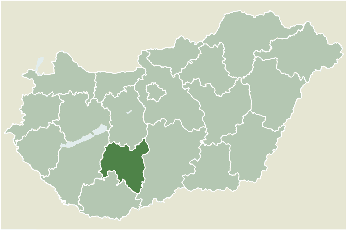
Size of this preview: 800 × 533 pixels. Other resolutions: 320 × 213 pixels | 640 × 426 pixels | 1,123 × 748 pixels.
Original file (1,123 × 748 pixels, file size: 52 KB, MIME type: image/png)
This is a file from the Wikimedia Commons and may be used by other projects. Information from its description page there is shown below. Commons is a freely licensed media file repository. |
Location map for Tolna county, Hungary.
- From: http://hu.wikipedia.org
- Created by: hu:User:Juhasz peter, 2005. július 1.
 | Permission is granted to copy, distribute and/or modify this document under the terms of the GNU Free Documentation License, Version 1.2 or any later version published by the Free Software Foundation; with no Invariant Sections, no Front-Cover Texts, and no Back-Cover Texts. A copy of the license is included in the section entitled GNU Free Documentation License. |
| This file is licensed under the Creative Commons Attribution-Share Alike 3.0 Unported license. | ||
| ||
| This licensing tag was added to this file as part of the GFDL licensing update. |
File history
Click on a date/time to view the file as it appeared at that time.
| Date/Time | Thumbnail | Dimensions | User | Comment | |
|---|---|---|---|---|---|
| current | 12:10, 30 May 2006 | | 1,123 × 748 (52 KB) | Alensha | Location map for Tolna county, Hungary. *From: http://hu.wikipedia.org *Created by: hu:User:Juhasz peter, 2005. július 1. {{GFDL}} Category:Counties of Hungary |
File usage
There are no pages that use this file.
Global file usage
The following other wikis use this file:
- Usage on bg.wikipedia.org
- Usage on en.wikipedia.org
- Simontornya
- Diósberény
- Dombóvár
- Tamási
- Bátaszék
- Attala, Hungary
- Belecska
- Dalmand
- Decs
- Fadd, Hungary
- Gerjen
- Gyulaj
- Harc
- Kajdacs
- Kapospula
- Kisvejke
- Kocsola
- Kurd, Hungary
- Magyarkeszi
- Medina, Hungary
- Miszla
- Mucsfa
- Mucsi
- Nagydorog
- Murga, Hungary
- Nagyszokoly
- Nagyvejke
- Nak, Hungary
- Pincehely
- Szakcs
- Pusztahencse
- Szedres
- Tengelic
- Tevel
- Udvari
- Zomba, Hungary
- Bikács
- Szakadát
- Pári
- Fácánkert
- Felsőnyék
- Fürged
- Hőgyész
- Jágónak
- Kalaznó
- Keszőhidegkút
- Kisszékely
- Kistormás
- Koppányszántó
View more global usage of this file.
Explore the world

United states
New York

Japan
Tokyo

Singapore
Singapore
