
 Français
 Italiano
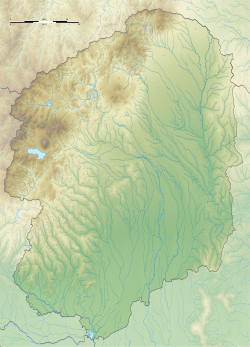
Size of this PNG preview of this SVG file: 432 × 599 pixels. Other resolutions: 173 × 240 pixels | 346 × 480 pixels | 554 × 768 pixels | 738 × 1,024 pixels | 1,477 × 2,048 pixels | 1,719 × 2,384 pixels.
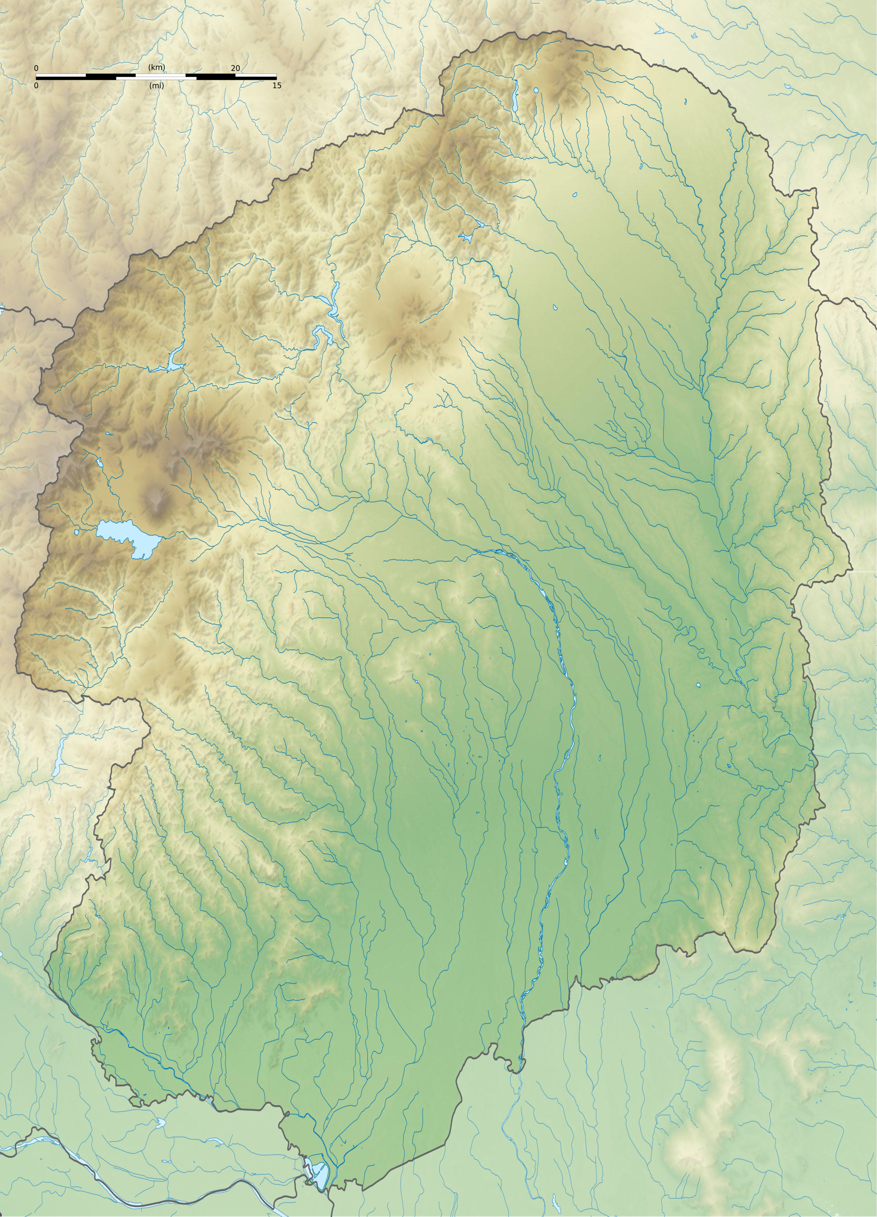
Original file (SVG file, nominally 1,719 × 2,384 pixels, file size: 2.1 MB)
This is a file from the Wikimedia Commons and may be used by other projects. Information from its description page there is shown below. Commons is a freely licensed media file repository. |
Summary
| Camera location | | View this and other nearby images on: OpenStreetMap |
|---|
| Description | Français : Carte topographique vierge de la Préfecture de Tochigi, au Japon, destinée à la géolocalisation. Deutsch: Topographische Karte der Präfektur Tochigi. English: Topographic blank map of the Tochigi Prefecture, for geolocalisation purpose. Español: Mapa topográfico de la Prefectura de Tochigi. Italiano: Mappa topografica della Prefettura di Tochigi. 日本語: 栃木県の地図. Português: Carta topográfica de la província de Tochigi.
| ||
| Date | (UTC) | ||
| Source | Création personnelle ;
| ||
| Author | © Bourrichon (talk) - fr:Bourrichon | ||
| Permission (Reusing this file) |
| ||
| Other versions | File:Tochigi-ken géolocalisation.svg |
This W3C-unspecified vector image was created with Inkscape .
Licensing
I, the copyright holder of this work, hereby publish it under the following license:
This file is licensed under the Creative Commons Attribution-Share Alike 2.0 France license.
Attribution: Bourrichon (atelier graphique)
- You are free:
- to share – to copy, distribute and transmit the work
- to remix – to adapt the work
- Under the following conditions:
- attribution – You must give appropriate credit, provide a link to the license, and indicate if changes were made. You may do so in any reasonable manner, but not in any way that suggests the licensor endorses you or your use.
- share alike – If you remix, transform, or build upon the material, you must distribute your contributions under the same or compatible license as the original.

File history
Click on a date/time to view the file as it appeared at that time.
| Date/Time | Thumbnail | Dimensions | User | Comment | |
|---|---|---|---|---|---|
| current | 18:08, 8 July 2013 | | 1,719 × 2,384 (2.1 MB) | Bourrichon | == {{int:filedesc}} == {{Location|37|00|00|N|140|00|00|E|scale:10000}} {{Information |Description= {{fr|Carte topographique vierge de la fr:Préfecture de Tochigi, au Japon, destinée à la géolocalisation.}} {{de|Topographische Ka... |
File usage
There are no pages that use this file.
Global file usage
The following other wikis use this file:
- Usage on ar.wikipedia.org
- Usage on ca.wikipedia.org
- Usage on ceb.wikipedia.org
- Usage on ce.wikipedia.org
- Usage on de.wikipedia.org
- Usage on en.wikipedia.org
- Futarasan shrine
- Cedar Avenue of Nikkō
- Gene Sarazen Jun Classic
- Ōya-ji
- Ashikaga Gakkō
- Module:Location map/data/Japan Tochigi Prefecture/doc
- Mibu Castle
- Ōtawara Castle
- Karasuyama Castle
- Utsunomiya Castle
- Banna-ji
- Sano Castle
- Karasawa Castle
- Brex Arena Utsunomiya
- Module:Location map/data/Japan Tochigi Prefecture
- User:Ty654/List of earthquakes from 1940-1949 exceeding magnitude 6+
- Atagozuka Kofun (Mibu)
- Otomefudōhara Tile Kiln
- Shimotsuke Provincial Capital
- Shimotsuke Kokubun-ji
- Shimotsuke Yakushi-ji
- Kabasaki-ji
- Ushizuka Kofun (Mibu)
- Azuma Kofun
- Negoyadai Site
- Sanuki Stone Buddha
- Sakuramachi Jin'ya
- Samuraizuka Kofun
- Teranohigashi Site
- Kurumazuka Kofun (Mibu)
- Kogane Ichirizuka
- Oyama Castle
- Kamikōnushi-Mobara Kanga ruins
- Mibu Ichirizuka
- Chausuyama Kofun (Mibu)
- Chōjagadaira Kanga ruins
View more global usage of this file.
Metadata
Explore the world

United states
New York

Japan
Tokyo

Singapore
Singapore
