
 Français
 Italiano
Size of this PNG preview of this SVG file: 791 × 600 pixels. Other resolutions: 317 × 240 pixels | 633 × 480 pixels | 1,013 × 768 pixels | 1,280 × 970 pixels | 2,560 × 1,941 pixels | 1,191 × 903 pixels.
Original file (SVG file, nominally 1,191 × 903 pixels, file size: 5.56 MB)
This is a file from the Wikimedia Commons and may be used by other projects. Information from its description page there is shown below. Commons is a freely licensed media file repository. |
Summary
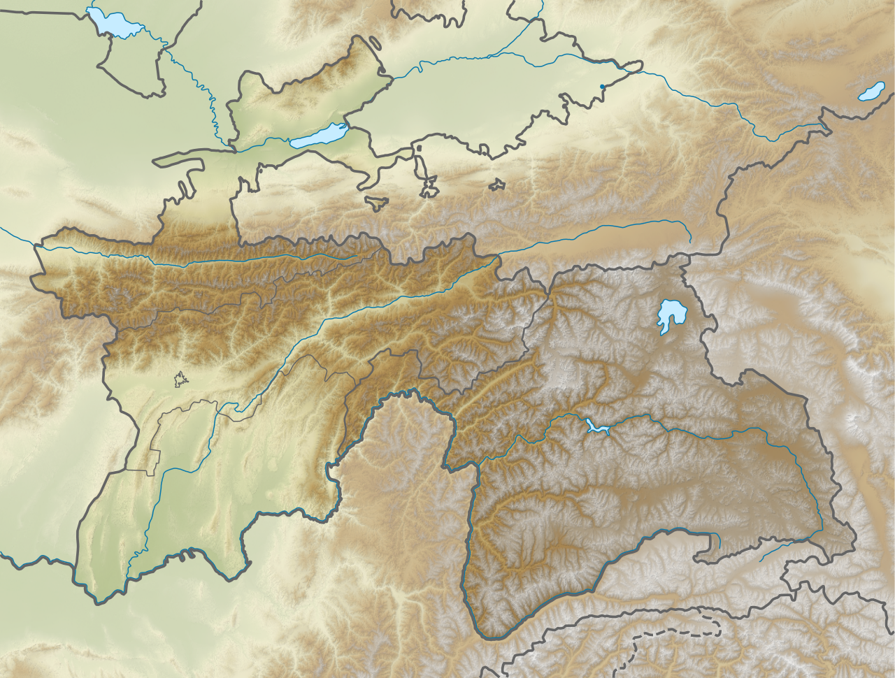
| Description | English: Relief map of Tajikistan. Elevation from STRM30. |
| Date | |
| Source | Derivative of File:Tajikistan adm location map.svg |
| Author | Own work based on User:NordNordWest |
Licensing
This file is licensed under the Creative Commons Attribution-Share Alike 3.0 Unported license.
- You are free:
- to share – to copy, distribute and transmit the work
- to remix – to adapt the work
- Under the following conditions:
- attribution – You must give appropriate credit, provide a link to the license, and indicate if changes were made. You may do so in any reasonable manner, but not in any way that suggests the licensor endorses you or your use.
- share alike – If you remix, transform, or build upon the material, you must distribute your contributions under the same or compatible license as the original.
File history
Click on a date/time to view the file as it appeared at that time.
| Date/Time | Thumbnail | Dimensions | User | Comment | |
|---|---|---|---|---|---|
| current | 05:32, 22 November 2020 | | 1,191 × 903 (5.56 MB) | C1MM | Increased boundary width of GB autonomous region, separate status from other administrative divisions |
| 05:20, 22 November 2020 |  | 1,191 × 903 (5.56 MB) | C1MM | Uploaded a work by Own work based on User:NordNordWest from Derivative of File:Tajikistan adm location map.svg with UploadWizard |
File usage
There are no pages that use this file.
Global file usage
The following other wikis use this file:
- Usage on ca.wikipedia.org
- Usage on en.wikipedia.org
- Lenin Peak
- Dushanbe
- Ismoil Somoni Peak
- Kulob
- Istaravshan
- Fann Mountains
- Karakul (Tajikistan)
- Khujand
- Alexandria Eschate
- Rogun Dam
- Trans-Alay Range
- Sarez Lake
- Zorkul
- Concord Peak
- Nurek Dam
- Vakhsh (river)
- Murghob
- Kulma Pass
- Simiganj
- Dushanbe Synagogue
- Peak Ozodi
- Independence Peak
- 2006 Tajikistan earthquake
- Osrushana
- Cyropolis
- Hisar Range
- Turkestan Range
- Mayakovsky Peak
- Shakhdara Range
- Yazgulem Range
- Karl Marx Peak
- Rushan Range
- Patkhor Peak
- Iskanderkul
- Mount Garmo
- Beyik Pass
- Vanj Range
- Bunjikat (archeological site)
- Ajina Tepe
- Sarazm
- Takht-i Sangin
- Saksanokhur
- Tajik National Park
- Ishkoshim Range
- Sangtuda 1 Hydroelectric Power Plant
- Sangtuda 2 Hydroelectric Power Plant
- Zarafshan Range
- Shirabad Formation
View more global usage of this file.
Metadata
Explore the world

United states
New York

Japan
Tokyo

Singapore
Singapore
