
 Français
 Italiano
Size of this PNG preview of this SVG file: 470 × 599 pixels. Other resolutions: 188 × 240 pixels | 377 × 480 pixels | 603 × 768 pixels | 803 × 1,024 pixels | 1,607 × 2,048 pixels | 1,024 × 1,305 pixels.
Original file (SVG file, nominally 1,024 × 1,305 pixels, file size: 2.68 MB)
This is a file from the Wikimedia Commons and may be used by other projects. Information from its description page there is shown below. Commons is a freely licensed media file repository. |
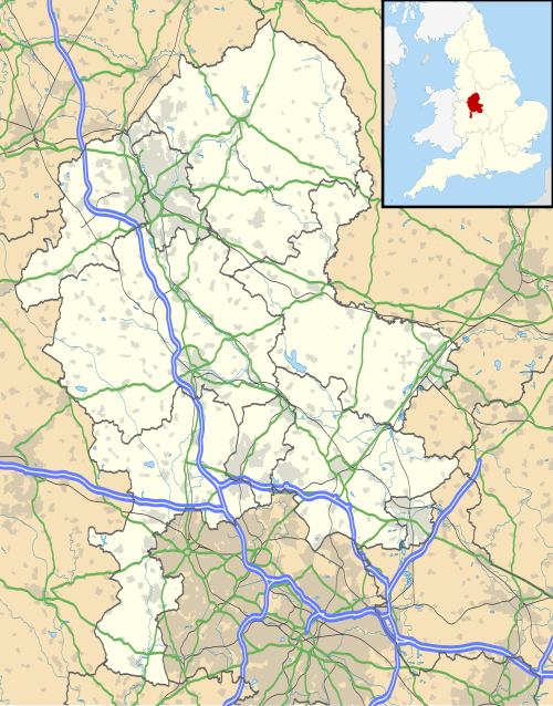
| Description | Map of Staffordshire, UK with the following information shown:
Equirectangular map projection on WGS 84 datum, with N/S stretched 165% Geographic limits:
|
| Date | |
| Source |
|
| Author | Nilfanion, created using Ordnance Survey data |
| Permission (Reusing this file) | This file is licensed under the Creative Commons Attribution-Share Alike 3.0 Unported license. Attribution: Contains Ordnance Survey data © Crown copyright and database right
|
| Other versions | File:Staffordshire UK district map (blank).svg - Blank map |
.svg)
File history
Click on a date/time to view the file as it appeared at that time.
| Date/Time | Thumbnail | Dimensions | User | Comment | |
|---|---|---|---|---|---|
| current | 23:54, 28 January 2011 | | 1,024 × 1,305 (2.68 MB) | Nilfanion | fixing inset |
| 19:13, 26 September 2010 |  | 1,024 × 1,305 (2.68 MB) | Nilfanion | {{Information |Description=Map of Staffordshire, UK with the following information shown: *Administrative borders *Coastline, lakes and rivers *Roads and railways *Urban areas Equirectangular map projection on WGS 84 datum, with N/S st |
File usage
There are no pages that use this file.
Global file usage
The following other wikis use this file:
- Usage on af.wikipedia.org
- Usage on ar.wikipedia.org
- Usage on bg.wikipedia.org
- Usage on bn.wikipedia.org
- Usage on ceb.wikipedia.org
- Usage on en.wikipedia.org
- Leek, Staffordshire
- Harriseahead
- Endon
- Alton, Staffordshire
- Lichfield
- Stoke-upon-Trent
- Uttoxeter
- Swinfen
- Shugborough Hall
- Newcastle-under-Lyme
- Lichfield Cathedral
- Burton upon Trent
- Stafford Castle
- Barton-under-Needwood
- Stafford
- Abbots Bromley
- Mucklestone
- Biddulph
- Cannock
- Rugeley
- Kidsgrove
- Stone, Staffordshire
- Burntwood
- Longnor, Staffordshire
- Ilam, Staffordshire
- Handsacre
- Hanley
- Tutbury
- Centre points of the United Kingdom
- Penkridge
- Eccleshall
- Little Aston
- Hednesford
- Alrewas
- Hopwas
- Blythe Bridge
- Gnosall
- Ashwood, Staffordshire
- Spath
View more global usage of this file.
Metadata
Explore the world

United states
New York

Japan
Tokyo

Singapore
Singapore
