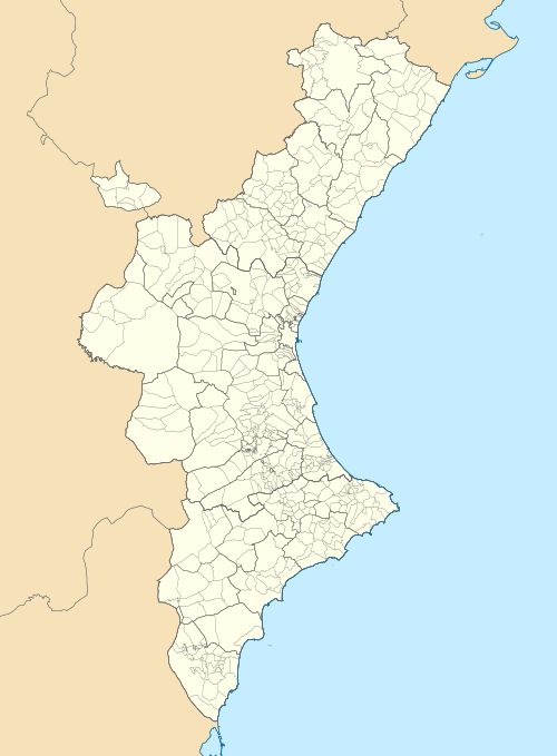
Size of this PNG preview of this SVG file: 442 × 600 pixels. Other resolutions: 177 × 240 pixels | 353 × 480 pixels | 566 × 768 pixels | 754 × 1,024 pixels | 1,509 × 2,048 pixels | 512 × 695 pixels.
Original file (SVG file, nominally 512 × 695 pixels, file size: 538 KB)
File history
Click on a date/time to view the file as it appeared at that time.
| Date/Time | Thumbnail | Dimensions | User | Comment | |
|---|---|---|---|---|---|
| current | 07:29, 9 September 2022 |  | 512 × 695 (538 KB) | Martorell | Added borders of comarques. |
| 14:39, 25 May 2010 |  | 512 × 695 (494 KB) | Miguillen | == {{int:filedesc}} == {{Information |Description={{en|Location map of Valencian Community}} Equirectangular projection, N/S stretching 130 %. Geographic limits of the map: * N: 40.885909° N * S: 37.698098° N * W: 1.95368 |
File usage
There are no pages that use this file.
Global file usage
The following other wikis use this file:
- Usage on ar.wikipedia.org
- Usage on ast.wikipedia.org
- Usage on azb.wikipedia.org
- Usage on ba.wikipedia.org
- Usage on bg.wikipedia.org
- Usage on bn.wikipedia.org
- Usage on ca.wikipedia.org
- Usuari:PereBot/cobertura/País Valencià 2/ranking
- Usuari:PereBot/cobertura/País Valencià 2/an
- Usuari:PereBot/cobertura/País Valencià 2/ca
- Usuari:PereBot/cobertura/País Valencià 2/de
- Usuari:PereBot/cobertura/País Valencià 2/en
- Usuari:PereBot/cobertura/País Valencià 2/es
- Usuari:PereBot/cobertura/País Valencià 2/eu
- Usuari:PereBot/cobertura/País Valencià 2/fr
View more global usage of this file.


 Français
 Italiano


