
 Français
 Italiano
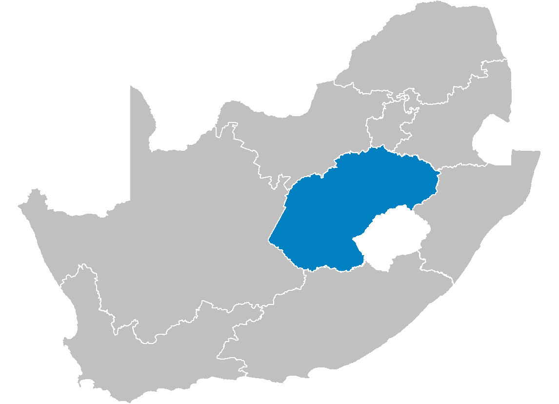
Size of this preview: 800 × 578 pixels. Other resolutions: 320 × 231 pixels | 640 × 462 pixels | 1,024 × 740 pixels | 1,146 × 828 pixels.
Original file (1,146 × 828 pixels, file size: 20 KB, MIME type: image/png)
This is a file from the Wikimedia Commons and may be used by other projects. Information from its description page there is shown below. Commons is a freely licensed media file repository. |
Summary
| Description | Map of South Africa showing the Free State province after the 12th amendment of the constitution in December 2005. |
| Date | |
| Source | Created by me from Shapefile data from the Municipal Demarcation Board, South Africa. |
| Author | Wayne Dam (User:Waynedam) |
| Permission (Reusing this file) | Dual-licensed under the GFDL and CC-By-SA-2.5, 2.0, and 1.0. |
Licensing
I, the copyright holder of this work, hereby publish it under the following licenses:
 | Permission is granted to copy, distribute and/or modify this document under the terms of the GNU Free Documentation License, Version 1.2 or any later version published by the Free Software Foundation; with no Invariant Sections, no Front-Cover Texts, and no Back-Cover Texts. A copy of the license is included in the section entitled GNU Free Documentation License. |
| This file is licensed under the Creative Commons Attribution-Share Alike 3.0 Unported license. | ||
| ||
| This licensing tag was added to this file as part of the GFDL licensing update. |
This file is licensed under the Creative Commons Attribution-Share Alike 2.5 Generic, 2.0 Generic and 1.0 Generic license.
- You are free:
- to share – to copy, distribute and transmit the work
- to remix – to adapt the work
- Under the following conditions:
- attribution – You must give appropriate credit, provide a link to the license, and indicate if changes were made. You may do so in any reasonable manner, but not in any way that suggests the licensor endorses you or your use.
- share alike – If you remix, transform, or build upon the material, you must distribute your contributions under the same or compatible license as the original.
You may select the license of your choice.
Licensing
I, the copyright holder of this work, hereby publish it under the following licenses:
| | Permission is granted to copy, distribute and/or modify this document under the terms of the GNU Free Documentation License, Version 1.2 or any later version published by the Free Software Foundation; with no Invariant Sections, no Front-Cover Texts, and no Back-Cover Texts. A copy of the license is included in the section entitled GNU Free Documentation License. |
| This file is licensed under the Creative Commons Attribution-Share Alike 3.0 Unported license. | ||
| ||
| This licensing tag was added to this file as part of the GFDL licensing update. |
This file is licensed under the Creative Commons Attribution 2.5 Generic license.
- You are free:
- to share – to copy, distribute and transmit the work
- to remix – to adapt the work
- Under the following conditions:
- attribution – You must give appropriate credit, provide a link to the license, and indicate if changes were made. You may do so in any reasonable manner, but not in any way that suggests the licensor endorses you or your use.
You may select the license of your choice.
File history
Click on a date/time to view the file as it appeared at that time.
| Date/Time | Thumbnail | Dimensions | User | Comment | |
|---|---|---|---|---|---|
| current | 14:16, 29 April 2006 | | 1,146 × 828 (20 KB) | Waynedam | == Summary == {{Information| |Description=Map of South Africa showing the Free State province after the 12th amendment of the constitution in December 2005. |Source=Created by me from Shapefile data from the [http://www.demarcation.org.za/ Municipal Dema |
File usage
There are no pages that use this file.
Global file usage
The following other wikis use this file:
- Usage on ar.wikipedia.org
- Usage on be-tarask.wikipedia.org
- Usage on de.wikipedia.org
- Usage on en.wikipedia.org
- Phuthaditjhaba
- Air Force Base Bloemspruit
- Arlington, South Africa
- Fouriesburg
- Swinburne, Free State
- Hobhouse, South Africa
- Kestell
- Ladybrand
- Marquard
- Vrede
- Warden, Free State
- Hennenman
- Hertzogville
- Odendaalsrus
- Ventersburg
- Verkeerdevlei
- Edenville, South Africa
- Koppies
- Luckhoff
- Oranjeville
- Petrusburg
- Reddersburg
- Tweeling
- Vredefort
- Heuwelsig
- Fauna, Bloemfontein
- Willows, Bloemfontein
- Template:FreeState-geo-stub
- Zastron
- Marseilles, Free State
- Tussen-die-Riviere Nature Reserve
- Caledon Nature Reserve
- Soetdoring Nature Reserve
- Sandveld Nature Reserve
- Bell's Pass
- Kalkfontein Nature Reserve
- Koppies Dam Nature Reserve
- Maria Moroka Nature Reserve
- Seekoeivlei Nature Reserve
- Willem Pretorius Game Reserve
- Vierfontein
- Viljoensdrif
- Gariep Dam (town)
- Riebeeckstad
- Whites, Free State
- Van Stadensrus
- Tseki
View more global usage of this file.
Explore the world

United states
New York

Japan
Tokyo

Singapore
Singapore
