
 Français
 Italiano
Size of this PNG preview of this SVG file: 608 × 599 pixels. Other resolutions: 243 × 240 pixels | 487 × 480 pixels | 779 × 768 pixels | 1,039 × 1,024 pixels | 2,077 × 2,048 pixels | 1,061 × 1,046 pixels.
Original file (SVG file, nominally 1,061 × 1,046 pixels, file size: 97 KB)
This is a file from the Wikimedia Commons and may be used by other projects. Information from its description page there is shown below. Commons is a freely licensed media file repository. |
Summary
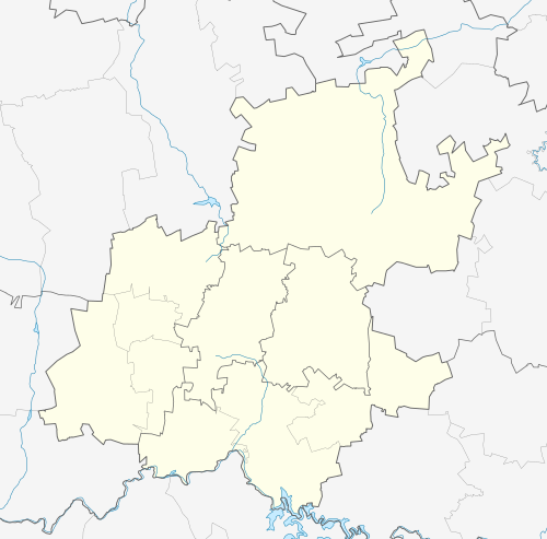
| Description | English: Location map of Gauteng Equirectangular projection, N/S stretching 111%. Geographic limits of the map:
|
| Date | |
| Source |
|
| Author | Htonl |
| Permission (Reusing this file) | I, the copyright holder of this work, hereby publish it under the following license: This file is licensed under the Creative Commons Attribution-Share Alike 3.0 Unported license.
|
| Other versions | File:South Africa Gauteng relief location map.svg, File:Blank map of Gauteng (2011).svg |
.svg)
File history
Click on a date/time to view the file as it appeared at that time.
| Date/Time | Thumbnail | Dimensions | User | Comment | |
|---|---|---|---|---|---|
| current | 20:22, 5 January 2013 | | 1,061 × 1,046 (97 KB) | Htonl | == {{int:filedesc}} == {{Information |Description ={{en|Location map of en:Gauteng Equirectangular projection, N/S stretching 111%. Geographic limits of the map: * N: 25° S * S: 27° S * W: 27° E * E: 29.25° E}} |Source = * Boundari... |
File usage
There are no pages that use this file.
Global file usage
The following other wikis use this file:
- Usage on af.wikipedia.org
- Johannesburg
- Pretoria
- Heidelberg, Gauteng
- Suikerbosrand-natuurreservaat
- Roodepoort
- Sharpeville
- Centurion
- Cullinan
- Krugersdorp
- Springs
- Brakpan
- Kliptown
- Alberton
- Germiston
- Boksburg
- Benoni
- Carletonville
- Petervale, Johannesburg
- Marabastad
- Waterkloof
- Groenkloof
- Arcadia, Pretoria
- Vereeniging
- Kemptonpark
- Edenvale
- Nigel
- Meyerton
- Vanderbijlpark
- Elarduspark
- Soweto
- Wonderboomlughawe
- Irene
- Bapsfontein
- Bronkhorstspruit
- Valhalla
- Randfontein
- Randburg
- Ennerdale
- Magaliesburg
- Sophiatown
- Rosettenville
- Kleinfontein
- Linden
- Woodmead, Johannesburg
- Mabopane
- Rosebank, Johannesburg
- Atteridgeville
- Capital Park
- Hammanskraal
- Westonaria
View more global usage of this file.
Metadata
Explore the world

United states
New York

Japan
Tokyo

Singapore
Singapore
