
 Français
 Italiano
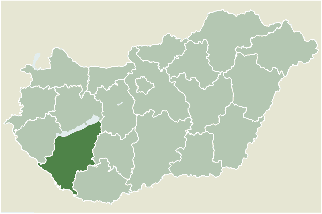
Size of this preview: 800 × 533 pixels. Other resolutions: 320 × 213 pixels | 640 × 426 pixels | 1,123 × 748 pixels.
Original file (1,123 × 748 pixels, file size: 53 KB, MIME type: image/png)
This is a file from the Wikimedia Commons and may be used by other projects. Information from its description page there is shown below. Commons is a freely licensed media file repository. |
Location map for Somogy county, Hungary.
- From: http://hu.wikipedia.org
- Created by: hu:User:Juhasz peter, 2005. július 1.
 | Permission is granted to copy, distribute and/or modify this document under the terms of the GNU Free Documentation License, Version 1.2 or any later version published by the Free Software Foundation; with no Invariant Sections, no Front-Cover Texts, and no Back-Cover Texts. A copy of the license is included in the section entitled GNU Free Documentation License. |
| This file is licensed under the Creative Commons Attribution-Share Alike 3.0 Unported license. | ||
| ||
| This licensing tag was added to this file as part of the GFDL licensing update. |
File history
Click on a date/time to view the file as it appeared at that time.
| Date/Time | Thumbnail | Dimensions | User | Comment | |
|---|---|---|---|---|---|
| current | 12:08, 30 May 2006 | | 1,123 × 748 (53 KB) | Alensha | Location map for Somogy county, Hungary. *From: http://hu.wikipedia.org *Created by: hu:User:Juhasz peter, 2005. július 1. {{GFDL}} Category:Counties of Hungary |
File usage
There are no pages that use this file.
Global file usage
The following other wikis use this file:
- Usage on bg.wikipedia.org
- Usage on en.wikipedia.org
- Tab, Hungary
- Fonyód
- Csurgó
- Balatonlelle
- Ádánd
- Balatonvilágos
- Marcali
- Nagybajom
- Lengyeltóti
- Bodrog (village)
- Bonnya
- Csokonyavisonta
- Berzence
- Csoma, Hungary
- Kapoly
- Juta
- Inke
- Iharos
- Hetes
- Heresznye
- Hencse
- Hedrehely
- Gyugy
- Gige
- Fiad
- Edde, Hungary
- Ecseny
- Kaposgyarmat
- Kaposhomok
- Kazsok
- Kercseliget
- Kereki
- Kisasszond
- Kisbajom
- Lad, Hungary
- Libickozma
- Lulla
- Magyaregres
- Mernye
- Orci
- Nyim
- Nikla
- Nemesvid
- Nemeskisfalud
- Nagyberki
- Ordacsehi
- Pamuk, Hungary
- Patalom
- Patca
View more global usage of this file.
Metadata
Explore the world

United states
New York

Japan
Tokyo

Singapore
Singapore
