
 Français
 Italiano
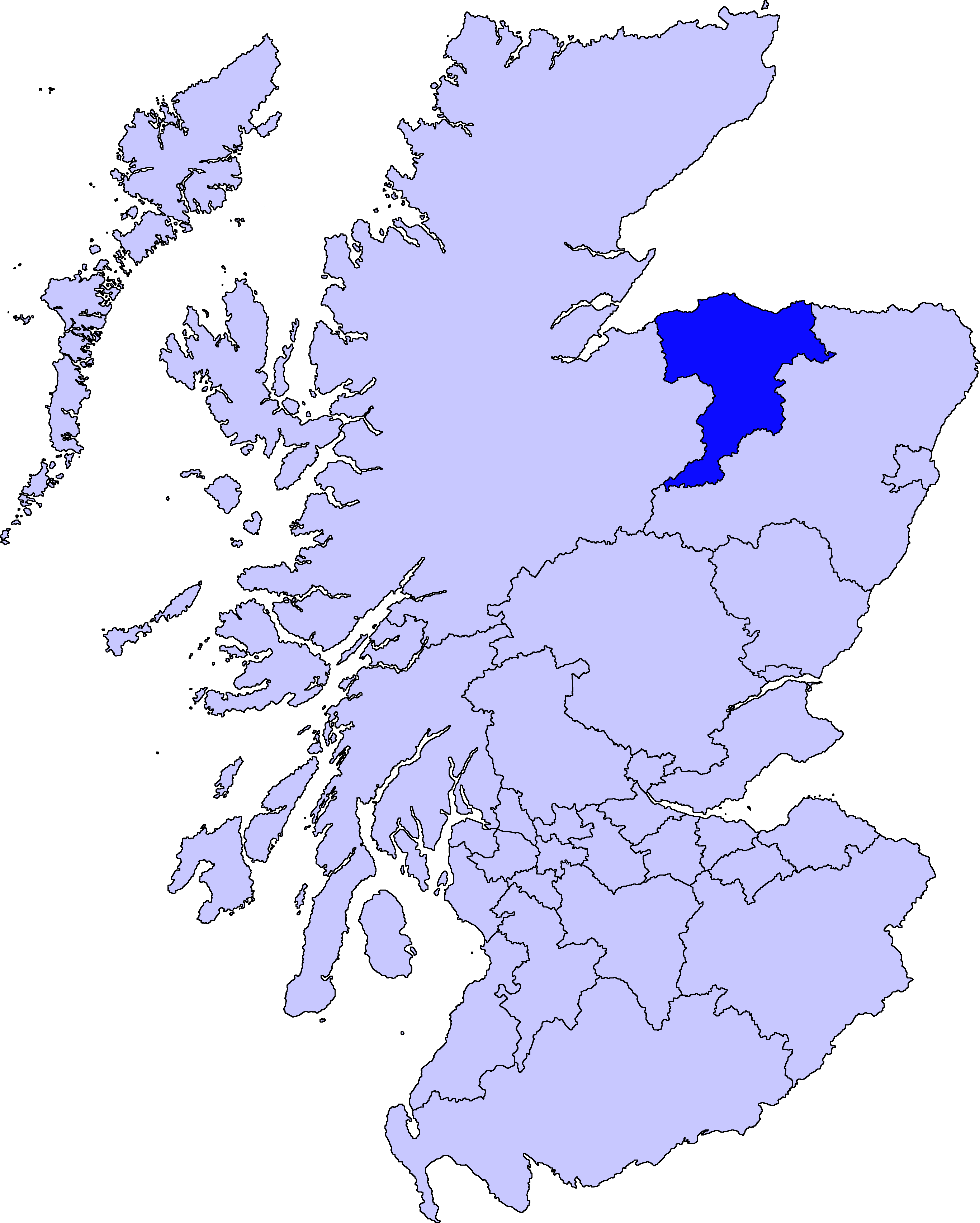
Size of this preview: 480 × 599 pixels. Other resolutions: 192 × 240 pixels | 384 × 480 pixels | 615 × 768 pixels | 820 × 1,024 pixels | 1,641 × 2,048 pixels | 2,733 × 3,411 pixels.
Original file (2,733 × 3,411 pixels, file size: 216 KB, MIME type: image/png)
This is a file from the Wikimedia Commons and may be used by other projects. Information from its description page there is shown below. Commons is a freely licensed media file repository. |
 | File:ScotlandMoray.svg is a vector version of this file. It should be used in place of this PNG file when not inferior. File:ScotlandMoray.png → File:ScotlandMoray.svg For more information, see Help:SVG. |  |
Moray unitary council
Slightly edited version of a map drawn by Morwen
 | Permission is granted to copy, distribute and/or modify this document under the terms of the GNU Free Documentation License, Version 1.2 or any later version published by the Free Software Foundation; with no Invariant Sections, no Front-Cover Texts, and no Back-Cover Texts. A copy of the license is included in the section entitled GNU Free Documentation License. |
| This file is licensed under the Creative Commons Attribution-Share Alike 3.0 Unported license. | ||
| ||
| This licensing tag was added to this file as part of the GFDL licensing update. |
File history
Click on a date/time to view the file as it appeared at that time.
| Date/Time | Thumbnail | Dimensions | User | Comment | |
|---|---|---|---|---|---|
| current | 01:46, 11 August 2010 | | 2,733 × 3,411 (216 KB) | Alphathon | New, larger, transparent background version based on the Angus map |
| 21:38, 17 May 2005 |  | 200 × 230 (4 KB) | Voyager | Moray unitary council Slightly edited version of a map drawn by Morwen {{GFDL}} Category:Maps of Scottish unitary councils |
File usage
There are no pages that use this file.
Global file usage
The following other wikis use this file:
- Usage on bg.wikipedia.org
- Usage on cy.wikipedia.org
- Usage on de.wikipedia.org
- Usage on en.wikipedia.org
- Maggieknockater
- Moray
- Elgin, Moray
- Dufftown
- Forres
- Lossiemouth
- Burghead
- Talk:Moray
- Buckie
- Findochty
- Fochabers
- Aberlour
- Cullen, Moray
- Tomintoul
- Keith, Moray
- Mosstodloch
- Archiestown
- Rothes
- Findhorn
- Kinloss, Scotland
- Portknockie
- Drummuir
- Rathven
- Dallas, Moray
- Longmorn
- Kingston, Moray
- Auchindoun, Moray
- Fogwatt
- Craigellachie, Moray
- Newmill
- Cummingston
- Hopeman
- Duffus
- Ballindalloch
- Urquhart, Moray
- Lhanbryde
- Spey Bay
- Rafford
- Ianstown
- Strathlene
- Alves, Moray
- Auchbreck
- Auchnarrow
- Aultmore
- Cabrach
View more global usage of this file.
Explore the world

United states
New York

Japan
Tokyo

Singapore
Singapore
