
 Français
 Italiano
Size of this PNG preview of this SVG file: 750 × 600 pixels. Other resolutions: 300 × 240 pixels | 600 × 480 pixels | 960 × 768 pixels | 1,280 × 1,024 pixels | 2,560 × 2,048 pixels | 1,425 × 1,140 pixels.
Original file (SVG file, nominally 1,425 × 1,140 pixels, file size: 856 KB)
This is a file from the Wikimedia Commons and may be used by other projects. Information from its description page there is shown below. Commons is a freely licensed media file repository. |
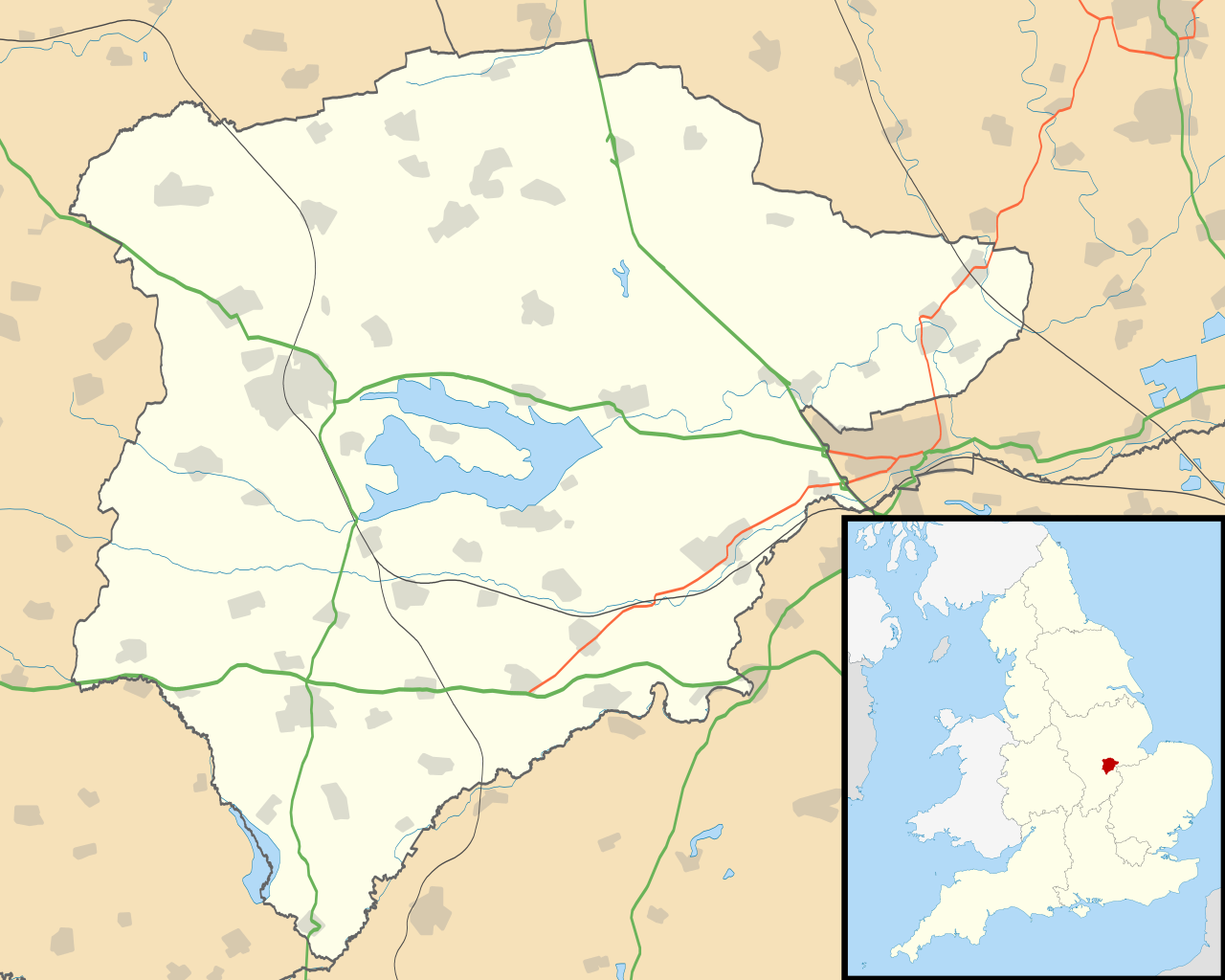
| Description | Map of Rutland, UK with the following information shown:
Equirectangular map projection on WGS 84 datum, with N/S stretched 160% Geographic limits:
|
| Date | |
| Source |
|
| Author | Nilfanion, created using Ordnance Survey data |
| Permission (Reusing this file) | This file is licensed under the Creative Commons Attribution-Share Alike 3.0 Unported license. Attribution: Contains Ordnance Survey data © Crown copyright and database right
|
| Other versions | File:Rutland UK district map (blank).svg - Blank map |
.svg)
File history
Click on a date/time to view the file as it appeared at that time.
| Date/Time | Thumbnail | Dimensions | User | Comment | |
|---|---|---|---|---|---|
| current | 19:10, 26 September 2010 | | 1,425 × 1,140 (856 KB) | Nilfanion | {{Information |Description=Map of Rutland, UK with the following information shown: *Administrative borders *Coastline, lakes and rivers *Roads and railways *Urban areas Equirectangular map projection on WGS 84 datum, with N/S stretched 160 |
File usage
There are no pages that use this file.
Global file usage
The following other wikis use this file:
- Usage on af.wikipedia.org
- Usage on ar.wikipedia.org
- Usage on bg.wikipedia.org
- Usage on ceb.wikipedia.org
- Usage on en.wikipedia.org
- Oakham
- Uppingham
- RAF Cottesmore
- Wing, Rutland
- Stretton, Rutland
- Langham, Rutland
- Pickworth, Rutland
- Great Casterton
- Ryhall
- Little Casterton
- Tixover
- North Luffenham
- RAF North Luffenham
- Whitwell, Rutland
- Braunston-in-Rutland
- Whissendine
- Ashwell, Rutland
- Ayston
- Barleythorpe
- Barrow, Rutland
- Barrowden
- Belton-in-Rutland
- Bisbrooke
- Brooke, Rutland
- Burley, Rutland
- Caldecott, Rutland
- Clipsham
- Cottesmore, Rutland
- Edith Weston
- Egleton
- Empingham
- Essendine
- Exton, Rutland
- Glaston
- Greetham, Rutland
- Gunthorpe, Rutland
- Hambleton, Rutland
- Ketton
- Lyddington
- Lyndon, Rutland
- Manton, Rutland
- Market Overton
- Morcott
- Normanton, Rutland
- Pilton, Rutland
View more global usage of this file.
Explore the world

United states
New York

Japan
Tokyo

Singapore
Singapore
