
 Français
 Italiano
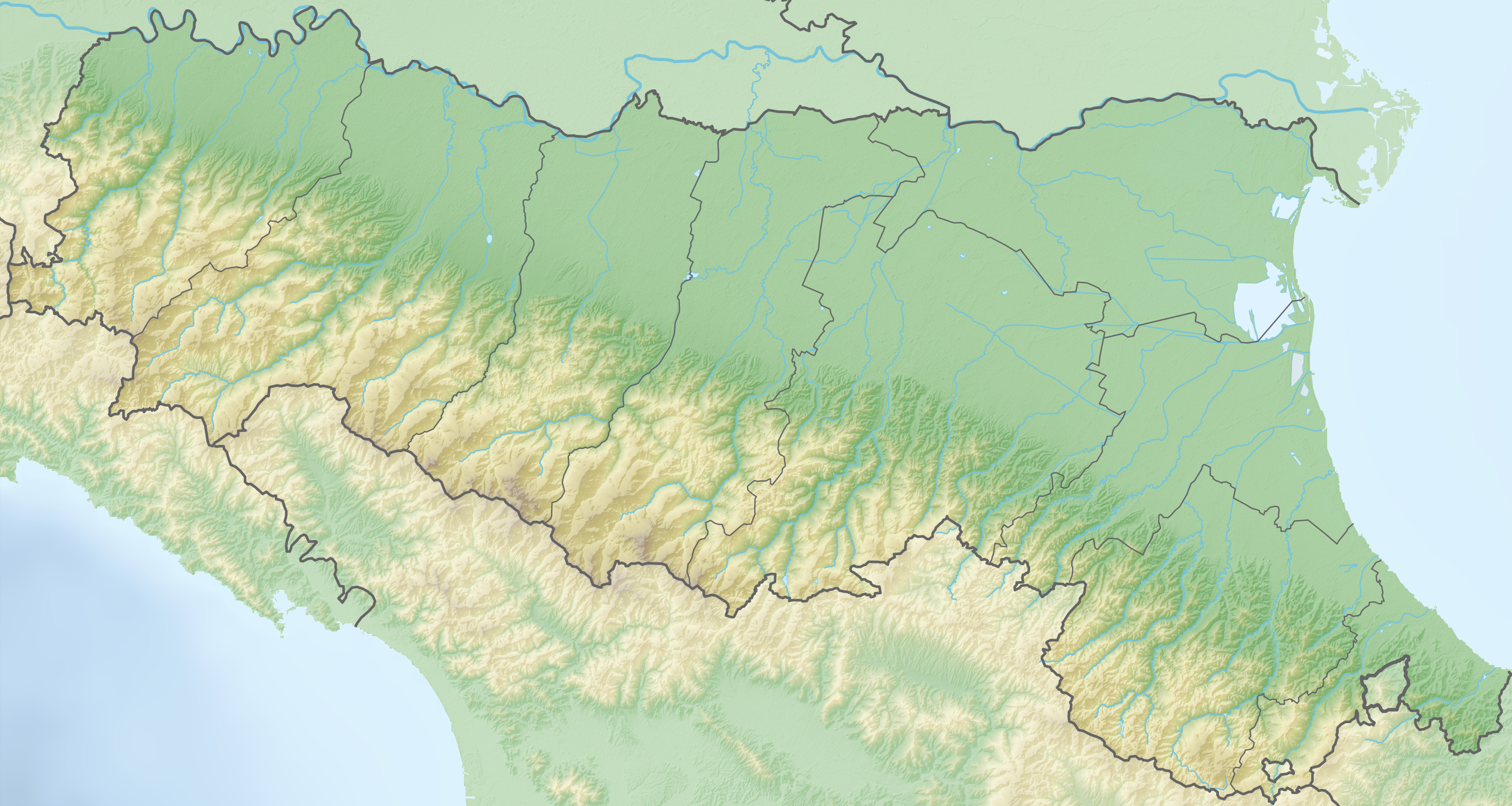
Size of this preview: 800 × 426 pixels. Other resolutions: 320 × 171 pixels | 640 × 341 pixels | 1,024 × 546 pixels | 1,280 × 682 pixels | 2,756 × 1,469 pixels.
Original file (2,756 × 1,469 pixels, file size: 4.8 MB, MIME type: image/png)
This is a file from the Wikimedia Commons and may be used by other projects. Information from its description page there is shown below. Commons is a freely licensed media file repository. |
Summary
| Description | Deutsch: Positionskarte von Emilia-Romagna (Italien) English: Location map of Emilia-Romagna region (Italy) Español: Mapa de localización de la Región de Emilia-Romaña (Italia). Equirectangular projection, N/S stretching 115 %. Geographic limits of the map:
|
| Date | |
| Source | Own work |
| Author | Tschubby |
Licensing
I, the copyright holder of this work, hereby publish it under the following licenses:
 | Permission is granted to copy, distribute and/or modify this document under the terms of the GNU Free Documentation License, Version 1.2 or any later version published by the Free Software Foundation; with no Invariant Sections, no Front-Cover Texts, and no Back-Cover Texts. A copy of the license is included in the section entitled GNU Free Documentation License. |
This file is licensed under the Creative Commons Attribution-Share Alike 3.0 Unported license.
- You are free:
- to share – to copy, distribute and transmit the work
- to remix – to adapt the work
- Under the following conditions:
- attribution – You must give appropriate credit, provide a link to the license, and indicate if changes were made. You may do so in any reasonable manner, but not in any way that suggests the licensor endorses you or your use.
- share alike – If you remix, transform, or build upon the material, you must distribute your contributions under the same or compatible license as the original.
You may select the license of your choice.
File history
Click on a date/time to view the file as it appeared at that time.
| Date/Time | Thumbnail | Dimensions | User | Comment | |
|---|---|---|---|---|---|
| current | 19:49, 12 March 2019 | | 2,756 × 1,469 (4.8 MB) | Tschubby | == {{int:filedesc}} == {{Information |description={{de|Positionskarte von Emilia-Romagna (Italien)}}{{en|Location map of Emilia-Romagna region (Italy)}}{{es|1=Mapa de localización de la Región de Emilia-Romaña (Italia).}} Equirectangular projection, N/S stretching 115 %. Geographic limits of the map: * N: 45.15° N * S: 43.70° N * W: 9.10° E * E: 12.80° E Topographischer Hintergrund: [http://www2.jpl.nasa.gov/srtm NASA Shuttle Radar Topography Mis... |
File usage
There are no pages that use this file.
Global file usage
The following other wikis use this file:
- Usage on als.wikipedia.org
- Usage on be.wikipedia.org
- Usage on bg.wikipedia.org
- Равена
- Кореджо
- Болоня
- Имола
- Парма
- Чезена
- Форли
- Павуло нел Фриняно
- Дзока
- Кастел Маджоре
- Албинеа
- Тоано
- Сан Просперо
- Реджо нел'Емилия
- Ферара
- Маранело
- Модена
- Римини
- Пиаченца
- Сан Джорджо ди Пиано
- Фаенца
- Битка при Плаценция (271)
- Милано Маритима
- Червия
- Ченто (град)
- Комакио
- Арджента
- Копаро
- Бондено
- Кодигоро
- Портомаджоре
- Мезола
- Фиоренцуола д'Арда
- Кастел Сан Джовани
- Ричоне
- Католика
- Сантарканджело ди Романя
- Салудечо
- Гуастала
- Сан Феличе сул Панаро
- Боре
- Карпи (Италия)
- Сарсина
- Реджоло
- Фиденца
- Бобио
- Шаблон:ПК Италия Емилия-Романя
- Луго (Италия)
View more global usage of this file.
Metadata
Explore the world

United states
New York

Japan
Tokyo

Singapore
Singapore
