
 Français
 Italiano
Size of this preview: 489 × 600 pixels. Other resolutions: 196 × 240 pixels | 391 × 480 pixels | 780 × 957 pixels.
Original file (780 × 957 pixels, file size: 494 KB, MIME type: image/png)
This is a file from the Wikimedia Commons and may be used by other projects. Information from its description page there is shown below. Commons is a freely licensed media file repository. |
Summary
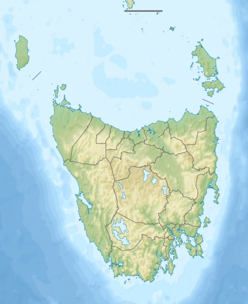
| Description | Русский: Физическая карта Тасмании. English: Relief map of Tasmania. |
| Date | |
| Source |
|
| Author | Nzeemin |
| Other versions | |

Licensing
I, the copyright holder of this work, hereby publish it under the following license:
This file is licensed under the Creative Commons Attribution-Share Alike 3.0 Unported license.
- You are free:
- to share – to copy, distribute and transmit the work
- to remix – to adapt the work
- Under the following conditions:
- attribution – You must give appropriate credit, provide a link to the license, and indicate if changes were made. You may do so in any reasonable manner, but not in any way that suggests the licensor endorses you or your use.
- share alike – If you remix, transform, or build upon the material, you must distribute your contributions under the same or compatible license as the original.
File history
Click on a date/time to view the file as it appeared at that time.
| Date/Time | Thumbnail | Dimensions | User | Comment | |
|---|---|---|---|---|---|
| current | 15:53, 3 October 2012 | | 780 × 957 (494 KB) | Nzeemin | User created page with UploadWizard |
File usage
There are no pages that use this file.
Global file usage
The following other wikis use this file:
- Usage on ar.wikipedia.org
- Usage on ast.wikipedia.org
- Usage on azb.wikipedia.org
- Usage on az.wikipedia.org
- Usage on ba.wikipedia.org
- Usage on bg.wikipedia.org
- Usage on bn.wikipedia.org
- Usage on ceb.wikipedia.org
- Usage on ckb.wikipedia.org
- Usage on da.wikipedia.org
- Usage on de.wikipedia.org
- King Island (Tasmanien)
- Mount Wellington (Tasmanien)
- Macquarie Harbour
- Flinders Island
- Maria Island
- Mount Ossa
- Lake Gordon (Australien)
- Schouten-Insel
- Freycinet-Halbinsel
- Furneaux-Gruppe
- Cape Barren Island
- Clarke Island
- Three Hummock Island
- Hunter Island (Tasmanien)
- Vorlage:Positionskarte Australien Tasmanien
- Bruny Island
- Wikipedia:Kartenwerkstatt/Positionskarten/Australien und Ozeanien
- Preservation Island
- Maatsuyker-Inseln
- Lake Pedder
- Mount Mawson
- Ben Lomond (Tasmanien)
- Maatsuyker Island
- De Witt Island
- Lake St. Clair (Tasmanien)
- Tasman-Halbinsel
- Stack Island (Tasmanien)
- Great Lake (Tasmanien)
- Lake Burbury
View more global usage of this file.
Metadata
Explore the world

United states
New York

Japan
Tokyo

Singapore
Singapore
