
 Français
 Italiano
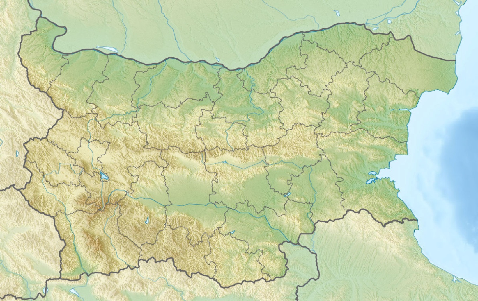
Size of this preview: 800 × 505 pixels. Other resolutions: 320 × 202 pixels | 640 × 404 pixels | 1,024 × 646 pixels | 1,280 × 808 pixels | 1,642 × 1,036 pixels.
Original file (1,642 × 1,036 pixels, file size: 459 KB, MIME type: image/jpeg)
This is a file from the Wikimedia Commons and may be used by other projects. Information from its description page there is shown below. Commons is a freely licensed media file repository. |
Summary
| Description | English: Location map of Bulgaria Equirectangular projection, N/S stretching 130 %. Geographic limits of the map:
|
| Date | (UTC) |
| Source |
|
| Author |
|
| Other versions | Derivative works of this file: Relief Map of Bulgaria Burgasebene.jpg |
| This is a retouched picture, which means that it has been digitally altered from its original version. The original can be viewed here: Bulgaria location map.svg:
|
Licensing
I, the copyright holder of this work, hereby publish it under the following licenses:
This file is licensed under the Creative Commons Attribution-Share Alike 3.0 Unported license.
- You are free:
- to share – to copy, distribute and transmit the work
- to remix – to adapt the work
- Under the following conditions:
- attribution – You must give appropriate credit, provide a link to the license, and indicate if changes were made. You may do so in any reasonable manner, but not in any way that suggests the licensor endorses you or your use.
- share alike – If you remix, transform, or build upon the material, you must distribute your contributions under the same or compatible license as the original.
 | Permission is granted to copy, distribute and/or modify this document under the terms of the GNU Free Documentation License, Version 1.2 or any later version published by the Free Software Foundation; with no Invariant Sections, no Front-Cover Texts, and no Back-Cover Texts. A copy of the license is included in the section entitled GNU Free Documentation License. |
You may select the license of your choice.
Original upload log
This image is a derivative work of the following images:
- File:Bulgaria_location_map.svg licensed with Cc-by-sa-3.0, GFDL
- 2010-10-06T18:28:14Z NordNordWest 1642x1036 (282074 Bytes) upd
- 2009-08-12T18:23:52Z Пакко 1536x970 (209136 Bytes) fixed Iskar Lake
- 2009-08-03T18:12:56Z Пакко 1534x967 (211583 Bytes) fixed some borders according to current administrative division
- 2008-08-25T18:52:33Z NordNordWest 1645x1038 (304442 Bytes) size correction
- 2008-08-12T12:25:58Z NordNordWest 548x346 (298143 Bytes) corrected
- 2008-08-05T20:30:09Z NordNordWest 548x346 (296113 Bytes) {{Information |Description= {{de|Positionskarte von [[:de:Bulgarien|Bulgarien]]}} Quadratische Plattkarte, N-S-Streckung 130 %. Geographische Begrenzung der Karte: * N: 44.4° N * S: 41.1° N * W: 22.1° O * O: 28.9° O {{en|
Uploaded with derivativeFX
File history
Click on a date/time to view the file as it appeared at that time.
| Date/Time | Thumbnail | Dimensions | User | Comment | |
|---|---|---|---|---|---|
| current | 09:20, 3 April 2016 | | 1,642 × 1,036 (459 KB) | Pticy uleteli | унификация разрешения с административной картой для корректной работы imagemap |
| 10:26, 28 November 2010 |  | 1,200 × 757 (306 KB) | Виктор В | {{Information |Description={{en|Location map of Bulgaria}} Equirectangular projection, N/S stretching 130 %. Geographic limits of the map: * N: 44.4° N * S: 41.1° N * W: 22.1° E * E: 28.9° E |Source=*[[:File:Bulgaria_location_map. |
File usage
There are no pages that use this file.
Global file usage
The following other wikis use this file:
- Usage on am.wikipedia.org
- Usage on ar.wikipedia.org
- Usage on ast.wikipedia.org
- Usage on azb.wikipedia.org
- Usage on az.wikipedia.org
- Şablon:Yer xəritəsi Bolqarıstan
- Pirin Milli Parkı
- Rodop dağları
- Srebırna Təbiət Qoruğu
- Maqura mağarası
- Pirin
- Belintaş
- Balkan dağları
- Mərkəzi Balkan Milli Parkı
- Əminə burnu
- Kom dağı
- Stara-Reka qoruğu
- Bayuvi-Dupki — Cincirsa
- Uzunbucaq
- Yulen qoruğu
- Orelyak qoruğu
- Sıyeva dupka
- Buynovsk dərəsi
- Uxlovitsa mağarası
- Triqrad dərəsi
- Kamçiya qoruğu
- Ali Botuş qoruğu
- Pobiti daşları
- Torfeno Branişte
- Bistrişko Branişte
- Poda Qorunan Təbiət Ərazisi
- Beloslav gölü
- Proxodna mağarası
- Rozhen Rəsədxanası
- Duxlata
- Ledenika mağarası
- Usage on ban.wikipedia.org
- Usage on ba.wikipedia.org
- Usage on be.wikipedia.org
View more global usage of this file.
Metadata
Explore the world

United states
New York

Japan
Tokyo

Singapore
Singapore
