
 Français
 Italiano
Size of this PNG preview of this SVG file: 698 × 599 pixels. Other resolutions: 280 × 240 pixels | 559 × 480 pixels | 895 × 768 pixels | 1,193 × 1,024 pixels | 2,386 × 2,048 pixels | 1,590 × 1,365 pixels.
Original file (SVG file, nominally 1,590 × 1,365 pixels, file size: 103 KB)
This is a file from the Wikimedia Commons and may be used by other projects. Information from its description page there is shown below. Commons is a freely licensed media file repository. |
Summary
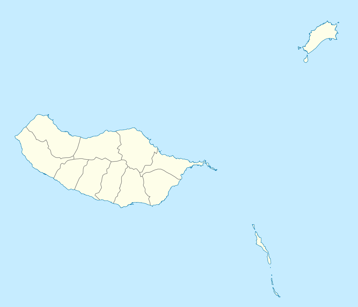
| Description | Geographische Begrenzung der Karte:
Geographic limits of the map:
| ||||||||||||
| Date | |||||||||||||
| Source | Own work | ||||||||||||
| Author | NordNordWest | ||||||||||||
| Permission (Reusing this file) |
| ||||||||||||
| Other versions | Derivative works of this file: | ||||||||||||
| SVG development | This W3C-invalid map was created with an unknown SVG tool.
|

File history
Click on a date/time to view the file as it appeared at that time.
| Date/Time | Thumbnail | Dimensions | User | Comment | |
|---|---|---|---|---|---|
| current | 15:41, 19 December 2009 | | 1,590 × 1,365 (103 KB) | NordNordWest | == {{int:filedesc}} == {{Information |Description= {{de|Positionskarte von Madeira, Portugal}} Geographische Begrenzung der Karte: * N: 33.16° N * S: 32.38° N * W: 17.31° W * O: 16.23° W {{en|Location map of [[:en:Made |
File usage
There are no pages that use this file.
Global file usage
The following other wikis use this file:
- Usage on af.wikipedia.org
- Usage on an.wikipedia.org
- Funchal
- Seu de Funchal
- Calheta (Madeira)
- Câmara de Lobos
- Machico
- Ponta do Sol
- Porto Santo
- Porto Moniz
- Ribeira Brava (Madeira)
- Santa Cruz (Madeira)
- Santana (Madeira)
- São Vicente (Madeira)
- Diocesi de Funchal
- Fortaleza-Palacio de São Lourenço
- Casa d'a ciudat de Funchal
- Puent João Gomes
- Mercau dos Lavradores
- Fuerte de São José
- Fortaleza de Nossa Senhora da Conceição do Ilhéu
- Fortaleza de São Tiago do Funchal
- Vila Baleira
- Plantilla:Mapa de localización Madeira
- Usage on ar.wikipedia.org
- Usage on ast.wikipedia.org
- Usage on az.wikipedia.org
- Usage on ba.wikipedia.org
- Usage on be-tarask.wikipedia.org
- Usage on be.wikipedia.org
- Usage on bg.wikipedia.org
- Usage on bs.wikipedia.org
- Usage on ceb.wikipedia.org
- Usage on ce.wikipedia.org
View more global usage of this file.
Metadata
Explore the world

United states
New York

Japan
Tokyo

Singapore
Singapore
