
 Français
 Italiano
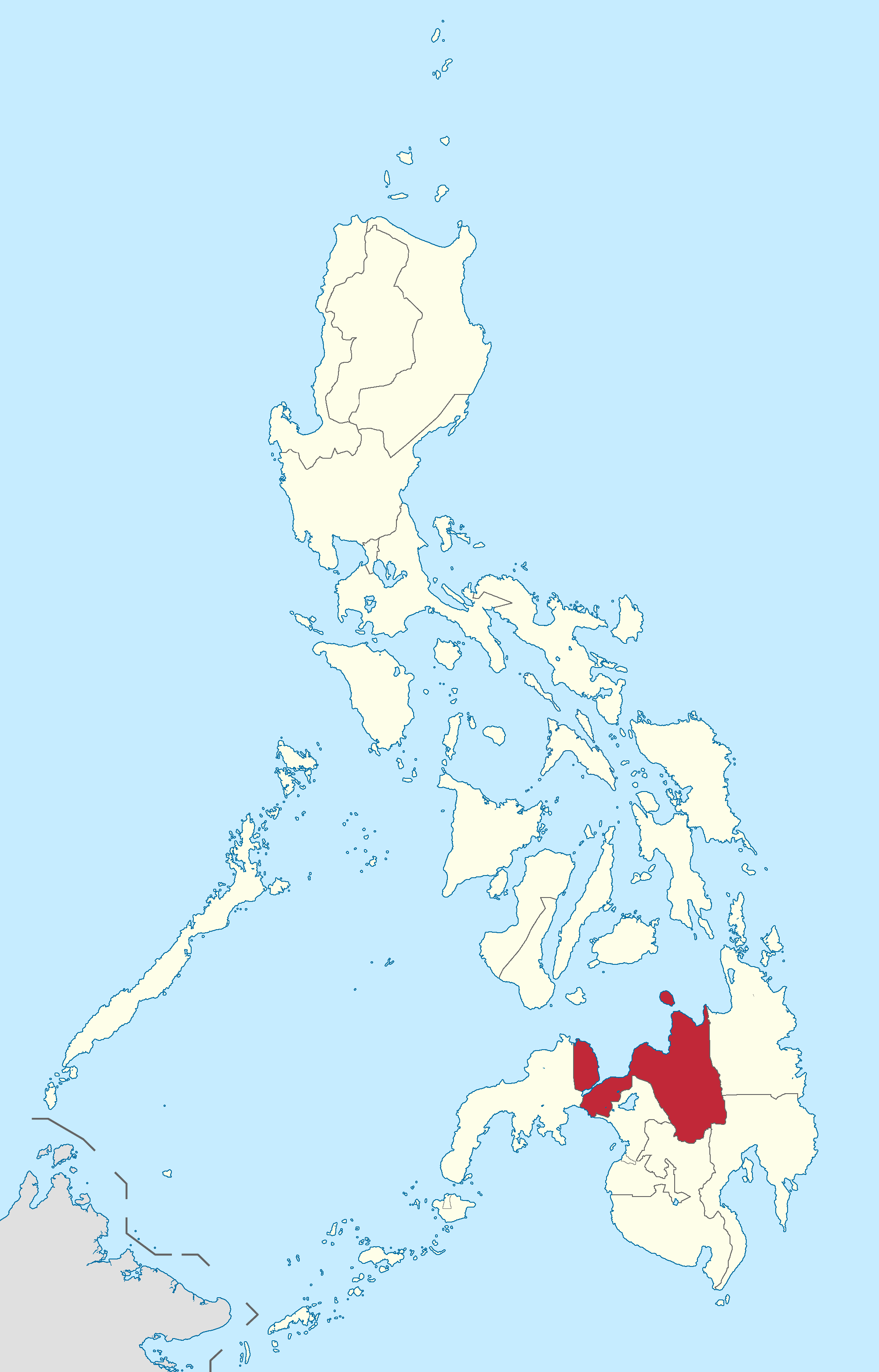
Size of this preview: 384 × 599 pixels. Other resolutions: 154 × 240 pixels | 308 × 480 pixels | 492 × 768 pixels | 656 × 1,024 pixels | 2,000 × 3,120 pixels.
Original file (2,000 × 3,120 pixels, file size: 137 KB, MIME type: image/png)
This is a file from the Wikimedia Commons and may be used by other projects. Information from its description page there is shown below. Commons is a freely licensed media file repository. |
Summary
| Description | English: Location of Northern Mindanao region in the Philippines. Filipino: Kinaroroonan ng rehiyon ng Hilagang Mindanao sa Pilipinas. |
| Date | |
| Source | BlankMap-Philippines.png by User:TheCoffee
|
| Author | Roel Balingit |
Licensing
I, the copyright holder of this work, hereby publish it under the following license:
This file is licensed under the Creative Commons Attribution-Share Alike 3.0 Unported license.
- You are free:
- to share – to copy, distribute and transmit the work
- to remix – to adapt the work
- Under the following conditions:
- attribution – You must give appropriate credit, provide a link to the license, and indicate if changes were made. You may do so in any reasonable manner, but not in any way that suggests the licensor endorses you or your use.
- share alike – If you remix, transform, or build upon the material, you must distribute your contributions under the same or compatible license as the original.
 | If you choose to use this work under the Creative Commons license stated above, the author, Roel Balingit (Namayan), would like you to attribute the work to him (among other requirements such as indicating that the work is licensed under the Creative Commons) with the following text or similar: © Roel Balingit, 2012. Their name should be a link to the Wikimedia Commons userpage Namayan. If a link is not possible, then the url should be placed in parentheses after the name. If the work has been substantially altered by other people (see the File history section below), then this particular attribution requirement is waived, which means you can attribute the work in any reasonable manner. This attribution requirement is provided pursuant to the Creative Commons Attribution mechanism where "you must attribute the work in the manner specified by the author or licensor (but not in any way that suggests that they endorse you or your use of the work)." (See "Attribution" in the Creative Commons website.) |
File history
Click on a date/time to view the file as it appeared at that time.
| Date/Time | Thumbnail | Dimensions | User | Comment | |
|---|---|---|---|---|---|
| current | 05:21, 11 February 2019 | | 2,000 × 3,120 (137 KB) | Hariboneagle927 | Reverted to version as of 03:25, 15 August 2012 (UTC) NIR no longer exists |
| 10:09, 5 June 2015 |  | 2,000 × 3,120 (136 KB) | Namayan | Removed Region 6/7 boundaries, Negros Island Region created | |
| 03:25, 15 August 2012 |  | 2,000 × 3,120 (137 KB) | Namayan |
File usage
There are no pages that use this file.
Global file usage
The following other wikis use this file:
- Usage on az.wikipedia.org
- Usage on en.wikipedia.org
- Mindanao
- Maria Cristina Falls
- Tinago Falls
- Columbio
- Catarman, Camiguin
- Mahinog
- Guinsiliban
- Baliangao
- Bonifacio, Misamis Occidental
- Clarin, Misamis Occidental
- Concepcion, Misamis Occidental
- Don Victoriano
- Lopez Jaena
- Panaon, Misamis Occidental
- Sinacaban
- Magsaysay, Lanao del Norte
- Matungao
- Pantao Ragat
- Poona Piagapo
- Salvador, Lanao del Norte
- Sapad
- Tagoloan, Lanao del Norte
- Binuangan
- Kinoguitan
- Lagonglong
- Libertad, Misamis Oriental
- Magsaysay, Misamis Oriental
- Manticao
- Medina, Misamis Oriental
- Sugbongcogon
- Talisayan
- Huluga Caves
- Dodiongan Falls
- Mount Agad-Agad
- Mount Sumagaya
- Maria Cristina Airport
- Abaga Falls
- Macajalar Bay
- Tagoloan River
- Lake Apo
- Mount Kalatungan
- White Island (Philippines)
- Manupali River
- Sawaga River
- Tigwa River
- Bobonawan River
- San Carlos, Valencia
- Lurugan, Bukidnon
- Tugaya, Bukidnon
View more global usage of this file.
Metadata
Explore the world

United states
New York

Japan
Tokyo

Singapore
Singapore
