
 Français
 Italiano
Size of this PNG preview of this SVG file: 685 × 600 pixels. Other resolutions: 274 × 240 pixels | 548 × 480 pixels | 877 × 768 pixels | 1,169 × 1,024 pixels | 2,339 × 2,048 pixels | 1,425 × 1,248 pixels.
Original file (SVG file, nominally 1,425 × 1,248 pixels, file size: 1.71 MB)
This is a file from the Wikimedia Commons and may be used by other projects. Information from its description page there is shown below. Commons is a freely licensed media file repository. |
Royal infirmary
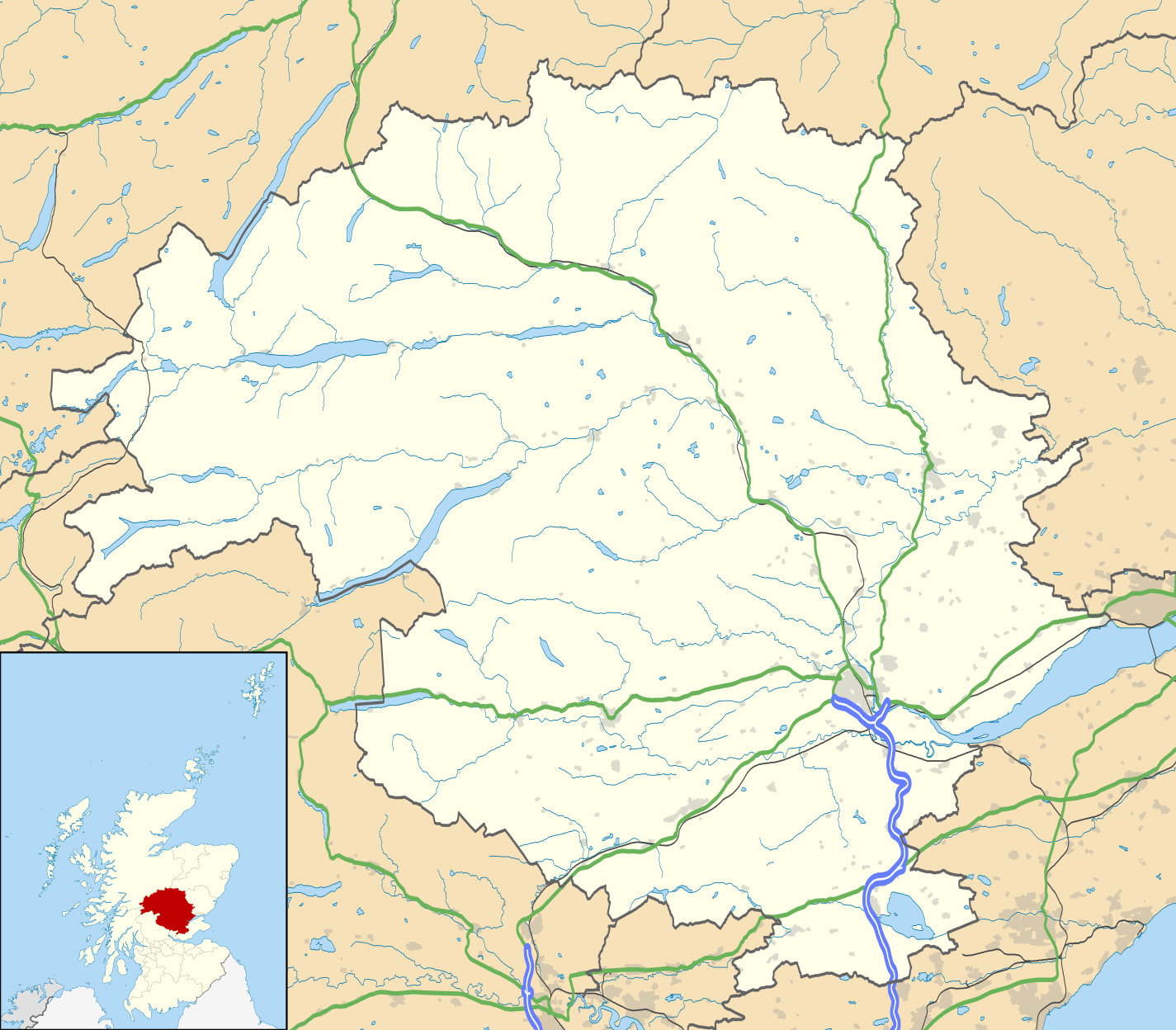
| Description | Blank map of Perth and Kinross, UK with the following information shown:
Equirectangular map projection on WGS 84 datum, with N/S stretched 180% Geographic limits:
|
| Date | |
| Source |
|
| Author | Nilfanion, created using Ordnance Survey data |
| Permission (Reusing this file) | This file is licensed under the Creative Commons Attribution-Share Alike 3.0 Unported license. Attribution: Contains Ordnance Survey data © Crown copyright and database right
|
| Other versions | File:Perth and Kinross UK blank map.svg - Blank map |
File history
Click on a date/time to view the file as it appeared at that time.
| Date/Time | Thumbnail | Dimensions | User | Comment | |
|---|---|---|---|---|---|
| current | 20:21, 26 September 2010 | | 1,425 × 1,248 (1.71 MB) | Nilfanion | {{Information |Description=Blank map of Perth and Kinross, UK with the following information shown: *Administrative borders *Coastline, lakes and rivers *Roads and railways *Urban areas Equirectangular map projection on WGS 84 dat |
File usage
There are no pages that use this file.
Global file usage
The following other wikis use this file:
- Usage on ar.wikipedia.org
- Usage on ba.wikipedia.org
- Usage on bg.wikipedia.org
- Usage on ceb.wikipedia.org
- Usage on de.wikipedia.org
- Usage on en.wikipedia.org
- Perth, Scotland
- List of monastic houses in Scotland
- Perth and Kinross
- Crieff
- Auchterarder
- Pitlochry
- Kinross
- Blairgowrie and Rattray
- Blair Atholl
- Inchtuthil
- Blair Castle
- Dunning, Perth and Kinross
- Milnathort
- Abernethy, Perth and Kinross
- Coupar Angus
- McDiarmid Park
- Aberfeldy, Perth and Kinross
- Scone Palace
- Broxden Junction
- Errol, Perth and Kinross
- Huntingtower and Ruthvenfield
- Comrie, Perth and Kinross
- Ardoch Roman Fort
- Kenmore, Perth and Kinross
- Abbots Deuglie
- Aberargie
- Abercairny
- Aberdalgie
- Abernyte
- Aberuthven
- Achalader
- Acharn, Perth and Kinross
- Achnafauld
- Airntully
- St Fillans
- Battle of Two Rivers
- Blackford, Perth and Kinross
- Dunkeld
- Killiecrankie
View more global usage of this file.
Explore the world

United states
New York

Japan
Tokyo

Singapore
Singapore
