
 Français
 Italiano
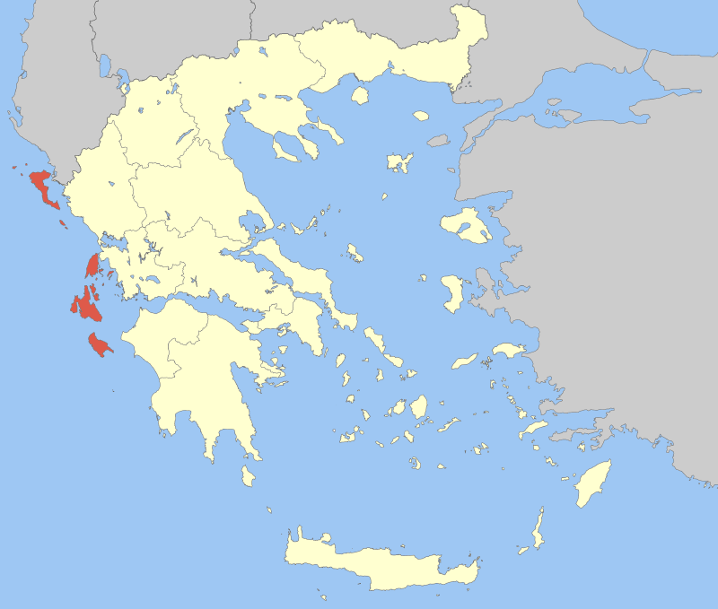
Size of this preview: 706 × 599 pixels. Other resolutions: 283 × 240 pixels | 566 × 480 pixels.
Original file (800 × 679 pixels, file size: 92 KB, MIME type: image/png)
This is a file from the Wikimedia Commons and may be used by other projects. Information from its description page there is shown below. Commons is a freely licensed media file repository. |
| Description | Locator Map of Ionian Islands Periphery, Greece |
| Date | |
| Source | Own work |
| Author | Pitichinaccio |
| I, the copyright holder of this work, release this work into the public domain. This applies worldwide. In some countries this may not be legally possible; if so: I grant anyone the right to use this work for any purpose, without any conditions, unless such conditions are required by law. |
File history
Click on a date/time to view the file as it appeared at that time.
| Date/Time | Thumbnail | Dimensions | User | Comment | |
|---|---|---|---|---|---|
| current | 11:46, 5 April 2008 | | 800 × 679 (92 KB) | Pitichinaccio | {{Information |Description=Locator Map of Ionian Islands Periphery, Greece |Source=eigene Arbeit |Date=April 5, 2008 |Author= Pitichinaccio }} {{PD-self}} Category:Periphery maps of Greece |
File usage
There are no pages that use this file.
Global file usage
The following other wikis use this file:
- Usage on ay.wikipedia.org
- Usage on be-tarask.wikipedia.org
- Usage on de.wikipedia.org
- Usage on el.wikipedia.org
- Usage on en.wikipedia.org
- Usage on es.wikipedia.org
- Usage on fa.wikipedia.org
- Usage on fr.wikipedia.org
- Usage on io.wikipedia.org
- Usage on ja.wikipedia.org
- Usage on lt.wikipedia.org
- Usage on no.wikipedia.org
- Usage on pl.wikipedia.org
- Usage on pl.wikivoyage.org
View more global usage of this file.
Explore the world

United states
New York

Japan
Tokyo

Singapore
Singapore
