
 Français
 Italiano
Size of this PNG preview of this SVG file: 766 × 600 pixels. Other resolutions: 307 × 240 pixels | 613 × 480 pixels | 981 × 768 pixels | 1,280 × 1,002 pixels | 2,560 × 2,004 pixels | 2,611 × 2,044 pixels.
Original file (SVG file, nominally 2,611 × 2,044 pixels, file size: 2.84 MB)
This is a file from the Wikimedia Commons and may be used by other projects. Information from its description page there is shown below. Commons is a freely licensed media file repository. |
Summary
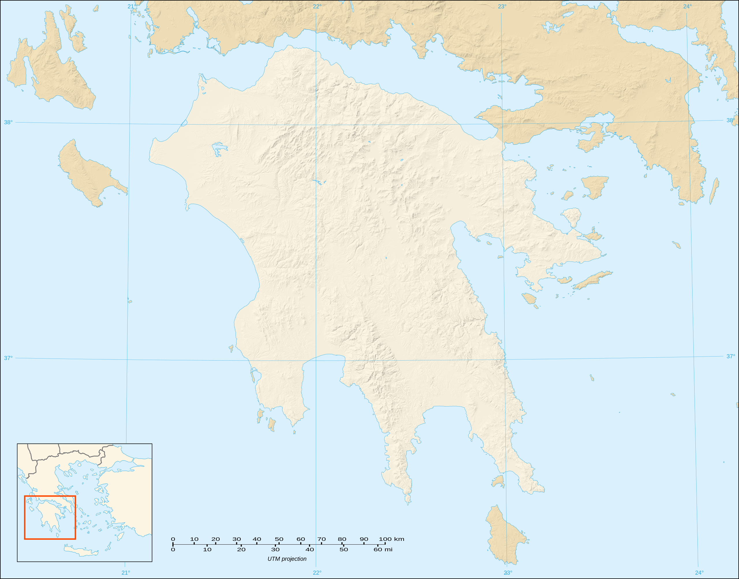
| Description | English: Blank map with shaded relief of the Peloponnese peninsula, Greece Note : The limit of the Peloponnesian peninsula shown follows the Corinth Canal. Français : Carte vierge avec relief ombré de la péninsule du Péloponnèse, Grèce ; Note : La limite affichée de la péninsule suit le tracé du canal de Corinthe. UTM projection; WGS84 datum; shaded relief (composite image of N-W, W and N lightning positions) | ||
| Date | |||
| Source | Own work ;
| ||
| Author | Eric Gaba (Sting - fr:Sting) | ||
| Permission (Reusing this file) |
| ||
| Other versions |
|

Licensing
I, the copyright holder of this work, hereby publish it under the following licenses:
 | Permission is granted to copy, distribute and/or modify this document under the terms of the GNU Free Documentation License, Version 1.2 or any later version published by the Free Software Foundation; with no Invariant Sections, no Front-Cover Texts, and no Back-Cover Texts. A copy of the license is included in the section entitled GNU Free Documentation License. |
This file is licensed under the Creative Commons Attribution-Share Alike 3.0 Unported, 2.5 Generic, 2.0 Generic and 1.0 Generic license.
- You are free:
- to share – to copy, distribute and transmit the work
- to remix – to adapt the work
- Under the following conditions:
- attribution – You must give appropriate credit, provide a link to the license, and indicate if changes were made. You may do so in any reasonable manner, but not in any way that suggests the licensor endorses you or your use.
- share alike – If you remix, transform, or build upon the material, you must distribute your contributions under the same or compatible license as the original.
You may select the license of your choice.
File history
Click on a date/time to view the file as it appeared at that time.
| Date/Time | Thumbnail | Dimensions | User | Comment | |
|---|---|---|---|---|---|
| current | 18:04, 20 October 2007 | | 2,611 × 2,044 (2.84 MB) | Sting | {{Information |Description=Blank map with shaded relief of Peloponnese, Greece |Source=Own work ;<br/>Shaded relief background map (composite image of N-W, W and N lightning positions) : [http://www2.jpl.nasa.gov/srtm NASA Shuttle Rada |
File usage
There are no pages that use this file.
Global file usage
The following other wikis use this file:
- Usage on ar.wikipedia.org
- Usage on ceb.wikipedia.org
- Usage on el.wikipedia.org
- Usage on en.wikipedia.org
- Battle of Navarino
- Battle of Lepanto
- Treasury of Atreus
- Nichoria
- House of the Tiles
- Module:Location map/data/Greece Peloponnese/doc
- 1996 Summer Olympics torch relay
- Big Three (Greece)
- Module:Location map/data/Greece Peloponnese
- User:Redonver/sandbox
- 1981 Gulf of Corinth earthquakes
- Tomb of Aegisthus
- User:UndercoverClassicist/Nichoria
- Usage on es.wikipedia.org
- Usage on fr.wikipedia.org
- Usage on ja.wikipedia.org
- Usage on kn.wikipedia.org
- Usage on lv.wikipedia.org
- Usage on si.wikipedia.org
View more global usage of this file.
Explore the world

United states
New York

Japan
Tokyo

Singapore
Singapore
