
 Français
 Italiano
Size of this preview: 693 × 599 pixels. Other resolutions: 278 × 240 pixels | 555 × 480 pixels | 888 × 768 pixels | 1,184 × 1,024 pixels | 1,348 × 1,166 pixels.
Original file (1,348 × 1,166 pixels, file size: 967 KB, MIME type: image/png)
This is a file from the Wikimedia Commons and may be used by other projects. Information from its description page there is shown below. Commons is a freely licensed media file repository. |
Summary
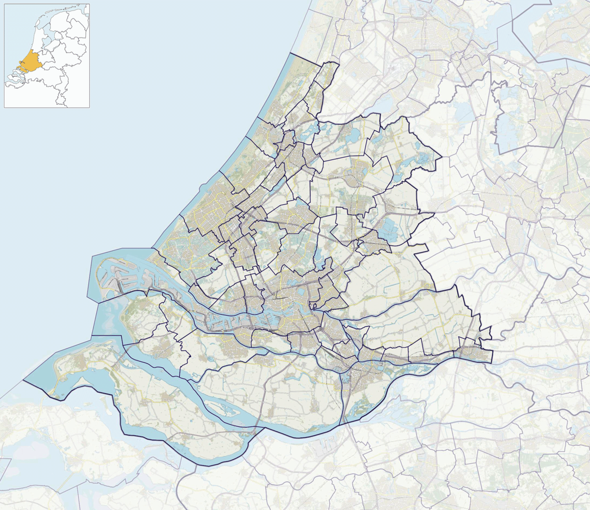
| Description | Nederlands: Positiekaartje van de provincie, variant "gemeentelabels" |
| Date | |
| Source | Own work |
| Author | Janwillemvanaalst |
Licensing
I, the copyright holder of this work, hereby publish it under the following license:
This file is licensed under the Creative Commons Attribution-Share Alike 4.0 International license.
- You are free:
- to share – to copy, distribute and transmit the work
- to remix – to adapt the work
- Under the following conditions:
- attribution – You must give appropriate credit, provide a link to the license, and indicate if changes were made. You may do so in any reasonable manner, but not in any way that suggests the licensor endorses you or your use.
- share alike – If you remix, transform, or build upon the material, you must distribute your contributions under the same or compatible license as the original.
File history
Click on a date/time to view the file as it appeared at that time.
| Date/Time | Thumbnail | Dimensions | User | Comment | |
|---|---|---|---|---|---|
| current | 09:41, 19 January 2019 | | 1,348 × 1,166 (967 KB) | Janwillemvanaalst | Map update due to adjusted province border Utrecht - Zuid-Holland as per 2019 |
| 16:45, 1 January 2017 |  | 1,348 × 1,166 (2.38 MB) | Janwillemvanaalst | Map layers update as of 2017 | |
| 11:14, 17 January 2016 |  | 1,348 × 1,166 (977 KB) | Janwillemvanaalst | Added NL index frame | |
| 20:08, 11 January 2016 |  | 1,348 × 1,166 (950 KB) | Janwillemvanaalst | Final version, with municipal labels and slightly dimmed forest | |
| 18:30, 9 January 2016 |  | 1,362 × 1,176 (829 KB) | Janwillemvanaalst | User created page with UploadWizard |
File usage
There are no pages that use this file.
Global file usage
The following other wikis use this file:
- Usage on arz.wikipedia.org
- Usage on da.wikipedia.org
- Usage on en.wikipedia.org
- Rotterdam
- Mauritshuis
- Bodegraven
- Boskoop
- Dirksland
- 's-Gravendeel
- Middelharnis
- Oud-Beijerland
- Rijnsburg
- Strijen
- Warmond
- Valkenburg, South Holland
- Grevelingen
- Benthuizen
- Keukenhof
- Rhoon
- Poortugaal
- Pijnacker
- Oude-Tonge
- Hoogmade
- Ouddorp
- Puttershoek
- Zwammerdam
- Aarlanderveen
- Roelofarendsveen
- Rijpwetering
- Sommelsdijk
- Rotterdam The Hague Airport
- Numansdorp
- Naturalis Biodiversity Center
- Oudenhoorn
- Havenhoofd
- Stellendam
- Achthuizen
- Den Bommel
- Ooltgensplaat
- Nieuwe-Tonge
- Stad aan 't Haringvliet
- Oud Ade
- Zevenhuizen, Kaag en Braassem
- Kaag
- Nieuwe Wetering
- Vierpolders
- Zwartewaal
- Oostdijk, South Holland
- Nieuw-Beijerland
- Zuidzijde, Hoeksche Waard
- Piershil
View more global usage of this file.
Metadata
Explore the world

United states
New York

Japan
Tokyo

Singapore
Singapore
