
 Français
 Italiano
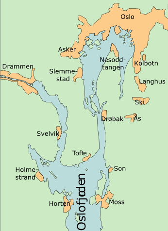
No higher resolution available.
Oslofjord_Slemmestad.png (346 × 476 pixels, file size: 62 KB, MIME type: image/png)
This is a file from the Wikimedia Commons and may be used by other projects. Information from its description page there is shown below. Commons is a freely licensed media file repository. |
Summary
| Description | Map of the inner 2/3 of Oslofjord. This map is a selection, with added text, based on a map by Finn Bjorklid. |
| Date | 16 January 2007 (original upload date) |
| Source | No machine-readable source provided. Own work assumed (based on copyright claims). |
| Author | No machine-readable author provided. Ekko assumed (based on copyright claims). |
| Other versions |
.png)
Licensing
| I, the copyright holder of this work, release this work into the public domain. This applies worldwide. In some countries this may not be legally possible; if so: I grant anyone the right to use this work for any purpose, without any conditions, unless such conditions are required by law. |
File history
Click on a date/time to view the file as it appeared at that time.
| Date/Time | Thumbnail | Dimensions | User | Comment | |
|---|---|---|---|---|---|
| current | 22:30, 17 January 2007 | | 346 × 476 (62 KB) | Ekko | Based on a new map by Finn |
| 22:43, 16 January 2007 |  | 485 × 600 (91 KB) | Ekko | Map of the inner 2/3 of Oslofjord. This map is a selection, with added text, based on a map by Finn Bjorklid. |
File usage
There are no pages that use this file.
Global file usage
The following other wikis use this file:
- Usage on da.wikipedia.org
- Usage on en.wikipedia.org
- Usage on fr.wikipedia.org
- Usage on nn.wikipedia.org
- Usage on no.wikipedia.org
- Usage on sv.wikipedia.org
Explore the world

United states
New York

Japan
Tokyo

Singapore
Singapore
