
 Français
 Italiano
Size of this PNG preview of this SVG file: 419 × 600 pixels. Other resolutions: 167 × 240 pixels | 335 × 480 pixels | 536 × 768 pixels | 715 × 1,024 pixels | 1,430 × 2,048 pixels | 1,380 × 1,976 pixels.
Original file (SVG file, nominally 1,380 × 1,976 pixels, file size: 720 KB)
This is a file from the Wikimedia Commons and may be used by other projects. Information from its description page there is shown below. Commons is a freely licensed media file repository. |
Summary
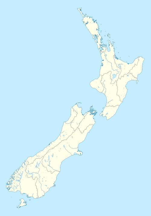
| Description | English: Location map of New Zealand
| ||||||||||||
| Date | |||||||||||||
| Source | Own work based on: data from data.govt.nz | ||||||||||||
| Author | M.Bitton | ||||||||||||
| Permission (Reusing this file) |
| ||||||||||||
| Other versions |
| ||||||||||||
| SVG development | This vector image was created with a text editor. | ||||||||||||
.png)
.svg)
Licensing
I, the copyright holder of this work, hereby publish it under the following license:
This file is licensed under the Creative Commons Attribution-Share Alike 4.0 International license.
- You are free:
- to share – to copy, distribute and transmit the work
- to remix – to adapt the work
- Under the following conditions:
- attribution – You must give appropriate credit, provide a link to the license, and indicate if changes were made. You may do so in any reasonable manner, but not in any way that suggests the licensor endorses you or your use.
- share alike – If you remix, transform, or build upon the material, you must distribute your contributions under the same or compatible license as the original.
File history
Click on a date/time to view the file as it appeared at that time.
| Date/Time | Thumbnail | Dimensions | User | Comment | |
|---|---|---|---|---|---|
| current | 13:41, 10 March 2024 | | 1,380 × 1,976 (720 KB) | M.Bitton | adjusted the rivers |
| 13:21, 8 March 2024 |  | 1,380 × 1,976 (757 KB) | M.Bitton | Uploaded own work with UploadWizard |
File usage
There are no pages that use this file.
Global file usage
The following other wikis use this file:
- Usage on en.wikipedia.org
- Great Barrier Island
- Hamilton, New Zealand
- List of cities in New Zealand
- Banks Peninsula
- Napier, New Zealand
- New Plymouth
- Taumatawhakatangihangakoauauotamateaturipukakapikimaungahoronukupokaiwhenuakitanatahu
- 1992 Cricket World Cup
- Taupō
- Gisborne, New Zealand
- Rangitoto Island
- Auckland Airport
- Matamata
- Palmerston North
- List of universities in New Zealand
- Rotorua
- Whangārei
- Whanganui
- Waihopai Valley
- Hokianga
- New Zealand national cricket team
- Cape Reinga
- User:Gadfium
- Whakapapa skifield
- Timaru
- Blenheim, New Zealand
- Henley, New Zealand
- Kapiti Island
- Christchurch
- Christchurch Airport
- Radio in New Zealand
- National Provincial Championship (2006–present)
- Tiritiri Matangi Island
- Tiwai Point
- Selwyn, New Zealand
- South Auckland
- Gabriel's Gully
- Otago gold rush
- Milburn, New Zealand
- The Silverpeaks
- Berwick Forest, New Zealand
- Berwick, New Zealand
- Denniston, New Zealand
- Kahurangi Point
- Pelorus Jack
- Cape Campbell
- Waimakariri Gorge
- East Cape
- Mayor Island / Tūhua
- Mōtītī Island
View more global usage of this file.
.svg)
Metadata
.svg)
Explore the world

United states
New York

Japan
Tokyo

Singapore
Singapore
